Sherpa Treks NepalSherpa Treks

Solukhumbu · 27.74° N · 86.71° E

Everest base camp + 3 pass Trek

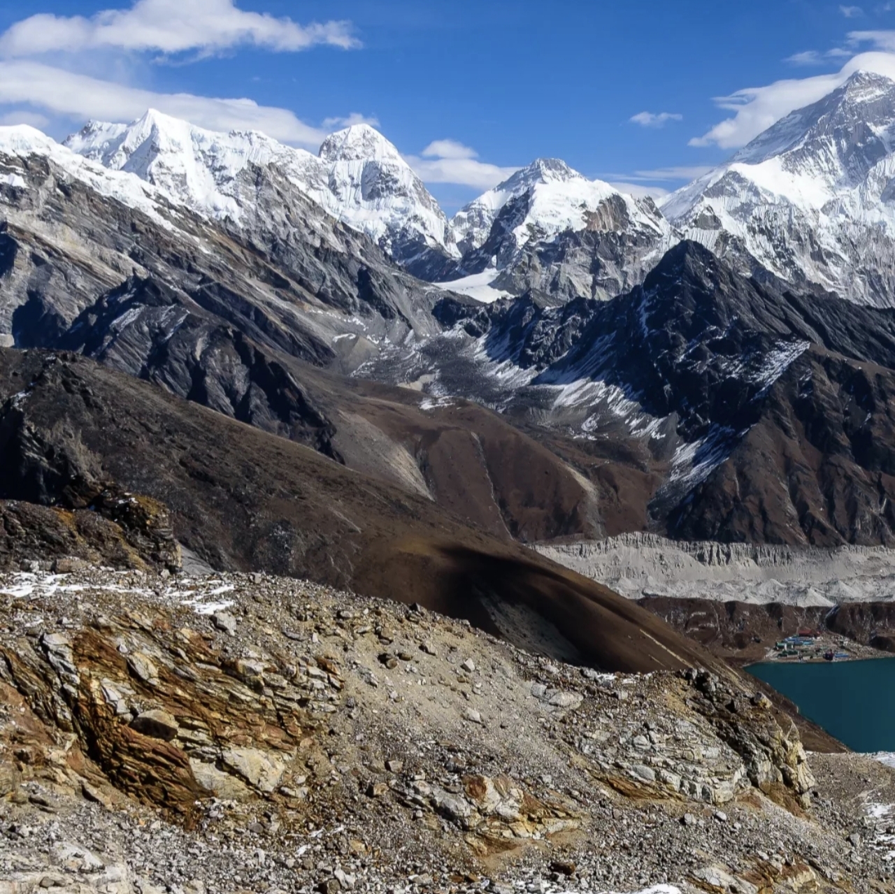
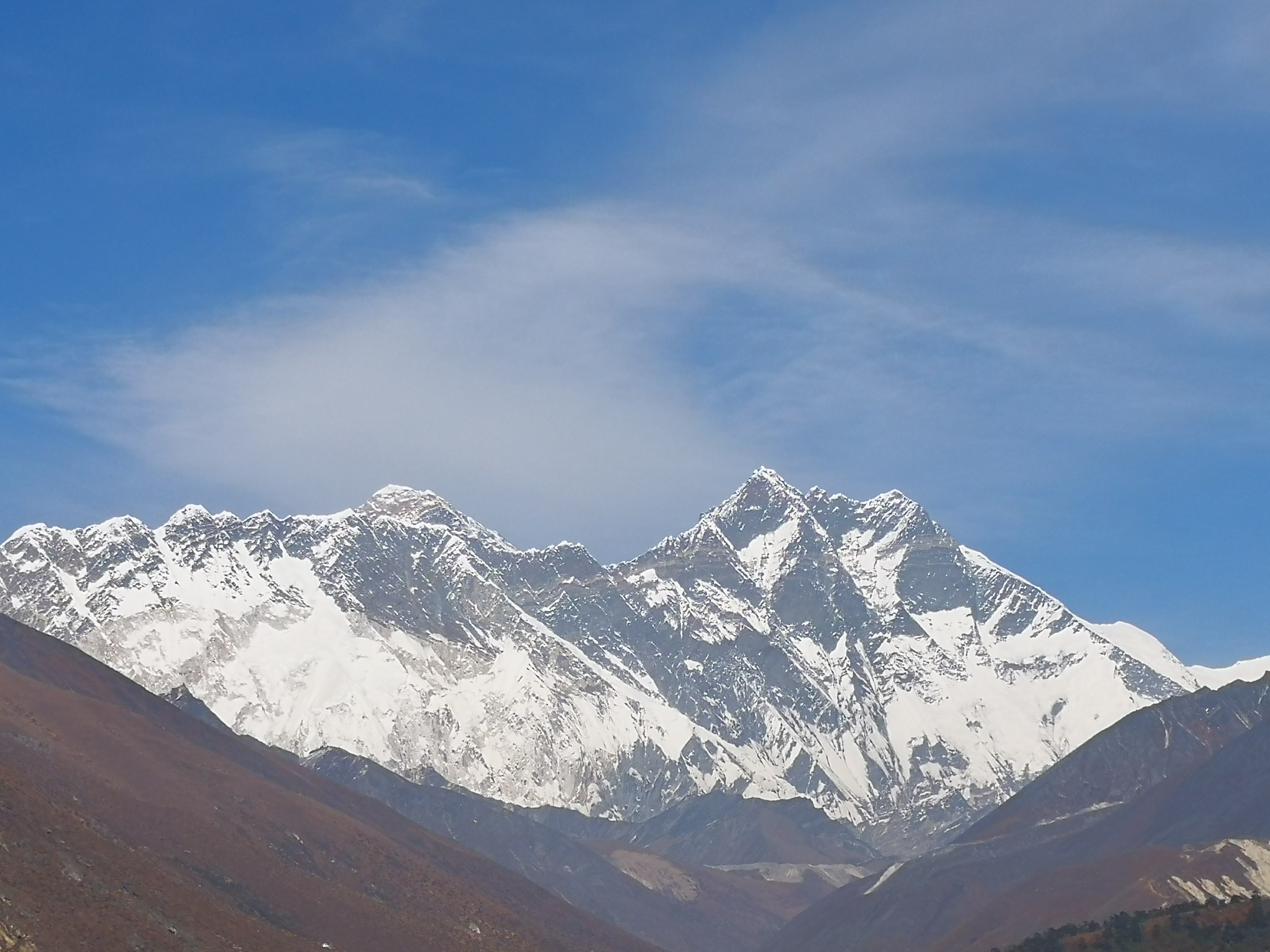
You’ll trek through Sherpa villages, Buddhist monasteries, and suspension bridges, 3 high passes, beautiful turquoise lakes with epic views of Everest, Lhotse, Makalu, Cho oyu and Ama Dablam. It’s challenging but non-technical - just you, the mountains, and the ultimate bucket list view from Kala Patthar at sunrise.

lakesculturalclassicremote18 days5,550 mChallenging
Begin the ascent

Day 01 · Travel · 2,860 m

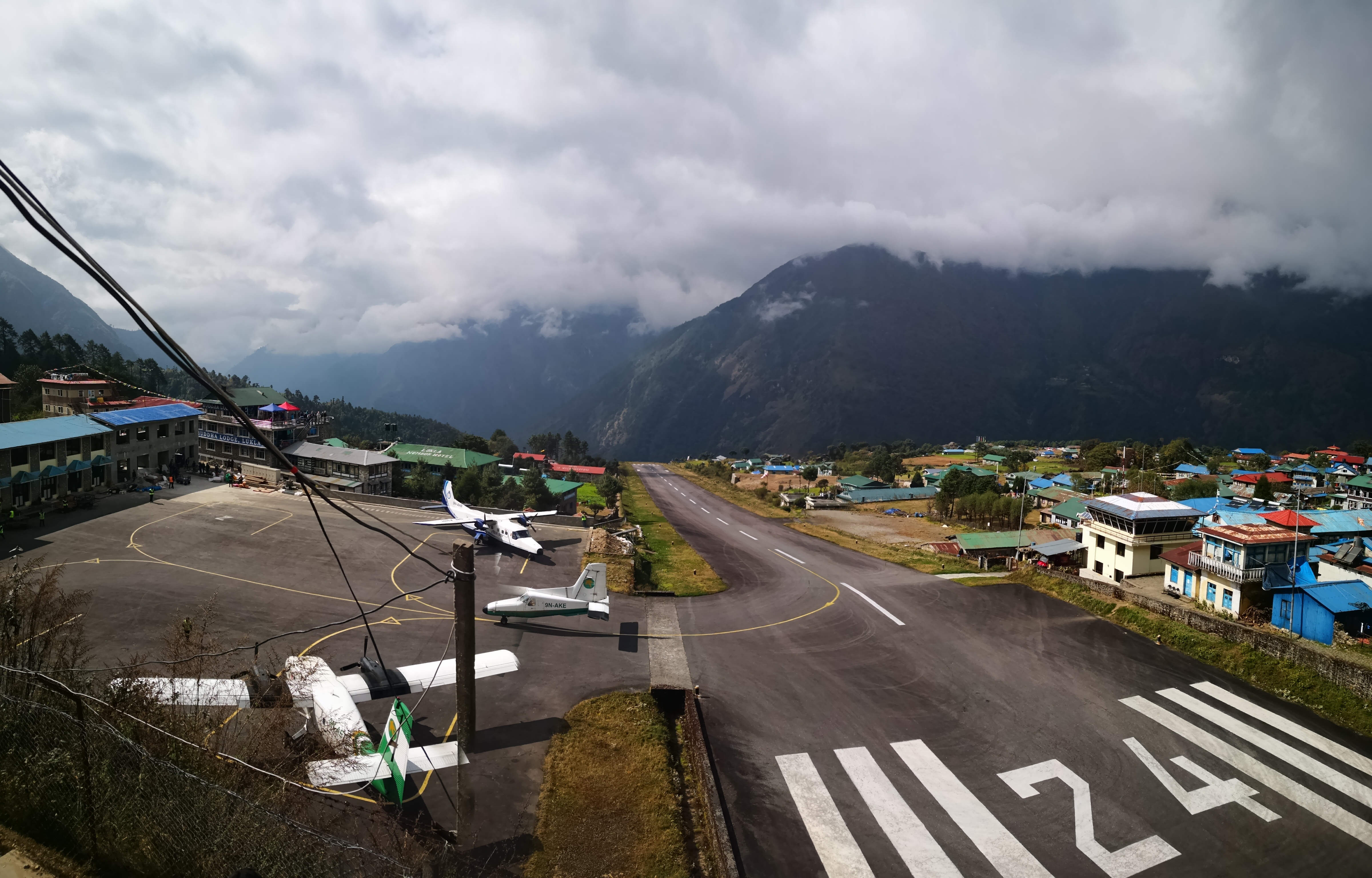
Kathmandu to Lukla / Phakding

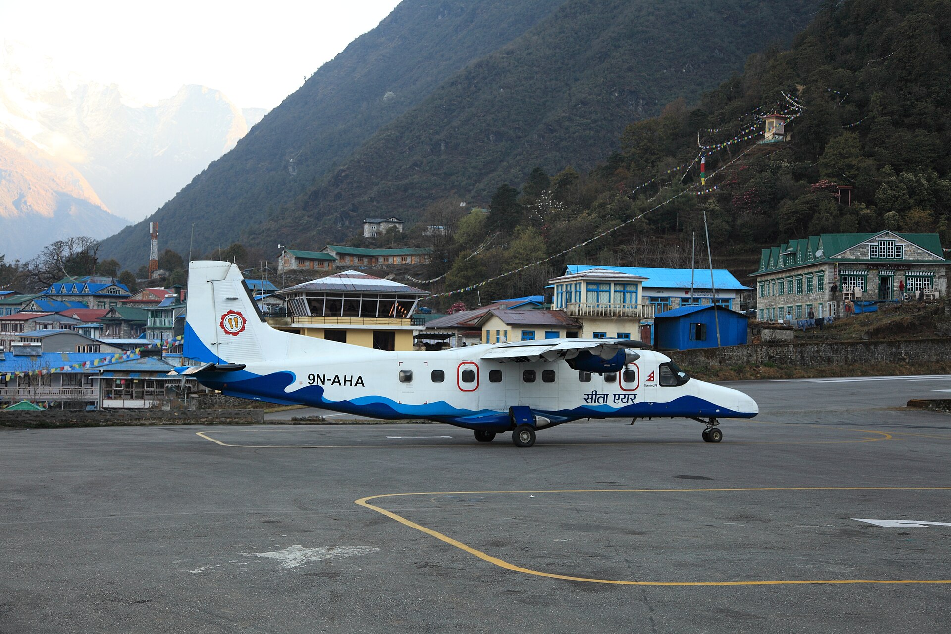
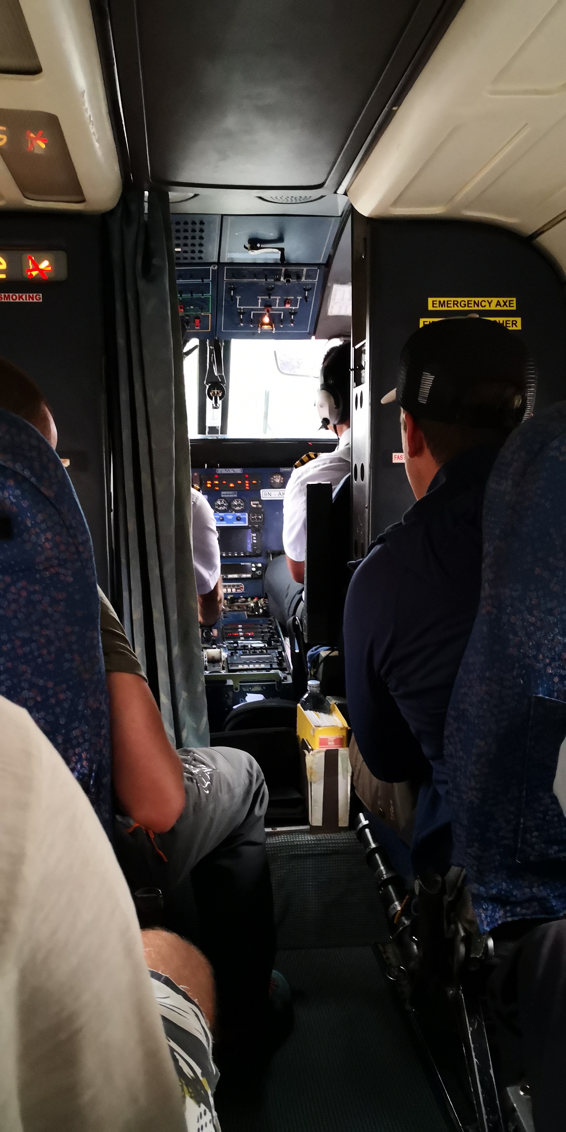
We will pick you from your hotel early in the morning then we drive to Kathmandu airport and take our flights to lukla airport. After that we trek towards phakding village where we spend a overnight stay. The route from lukla to phakding village is gradual. You can see local villages, Peoples, mountains, shops, schools, suspension bridges and farming Fields of locals. We will have our meals and breaks along the way in local tea Houses.

  • O₂ 70% of sea level
  • Day 1 of 18
 Kathmandu to Lukla / Phakding - 2,860 m
Kathmandu to Lukla / Phakding

Day 02 · Trek · 3,445 m

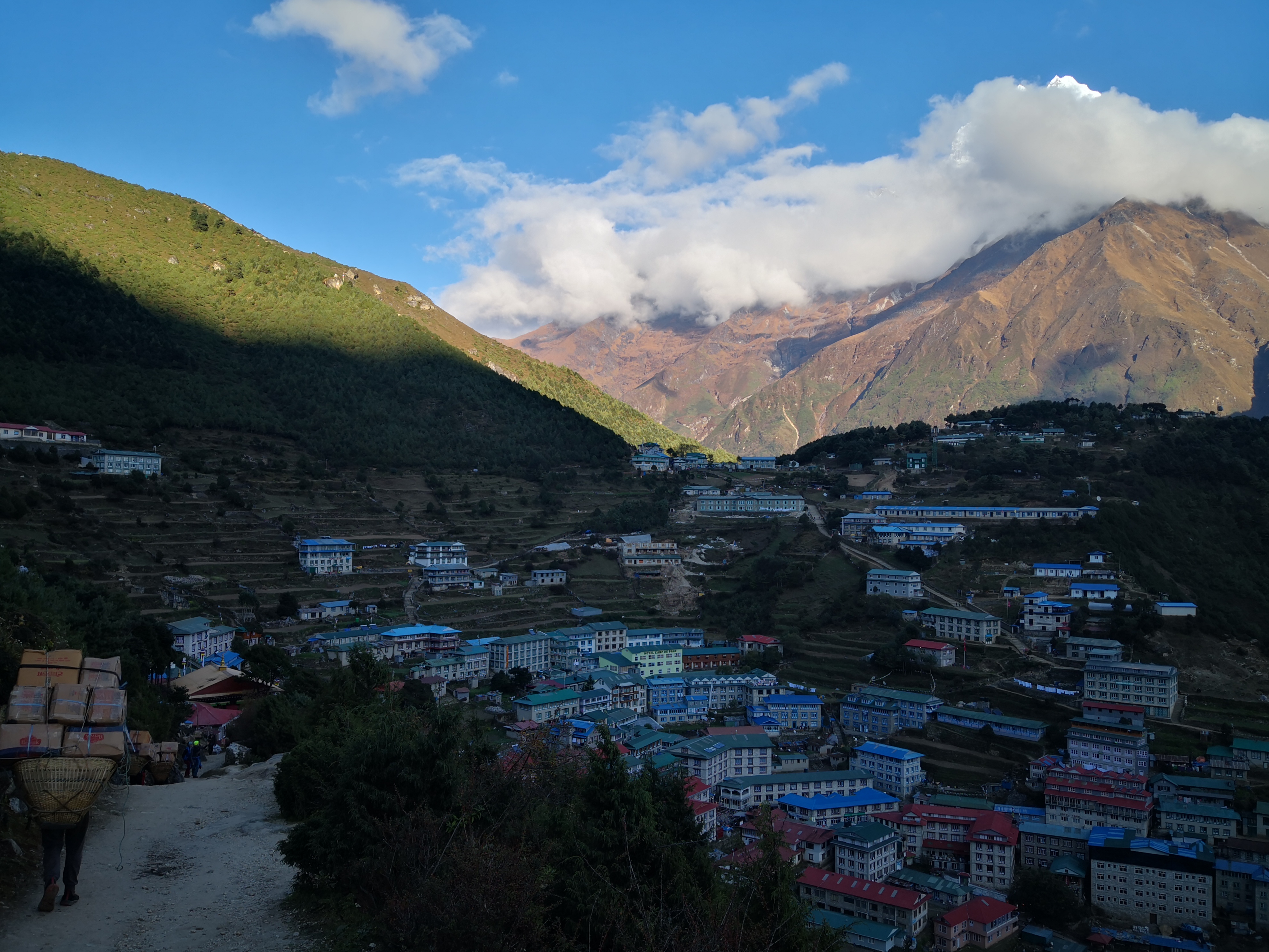
Phakding to Namche bazar

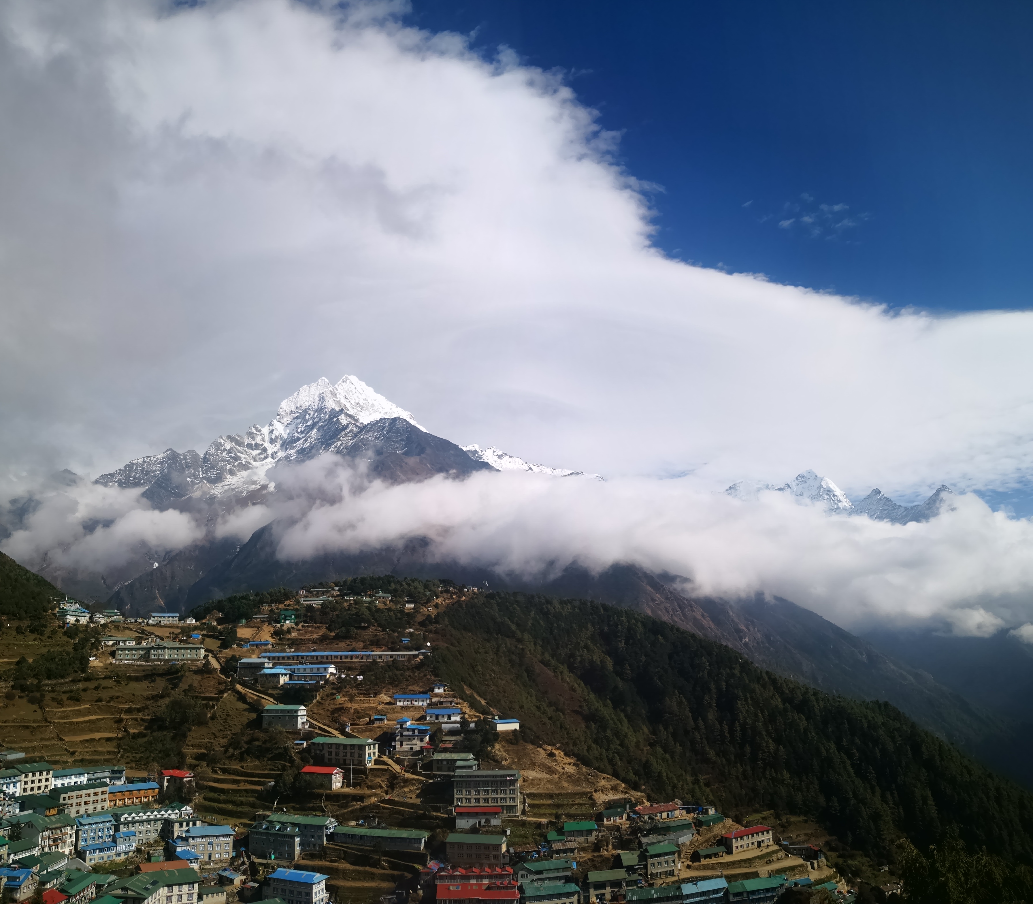
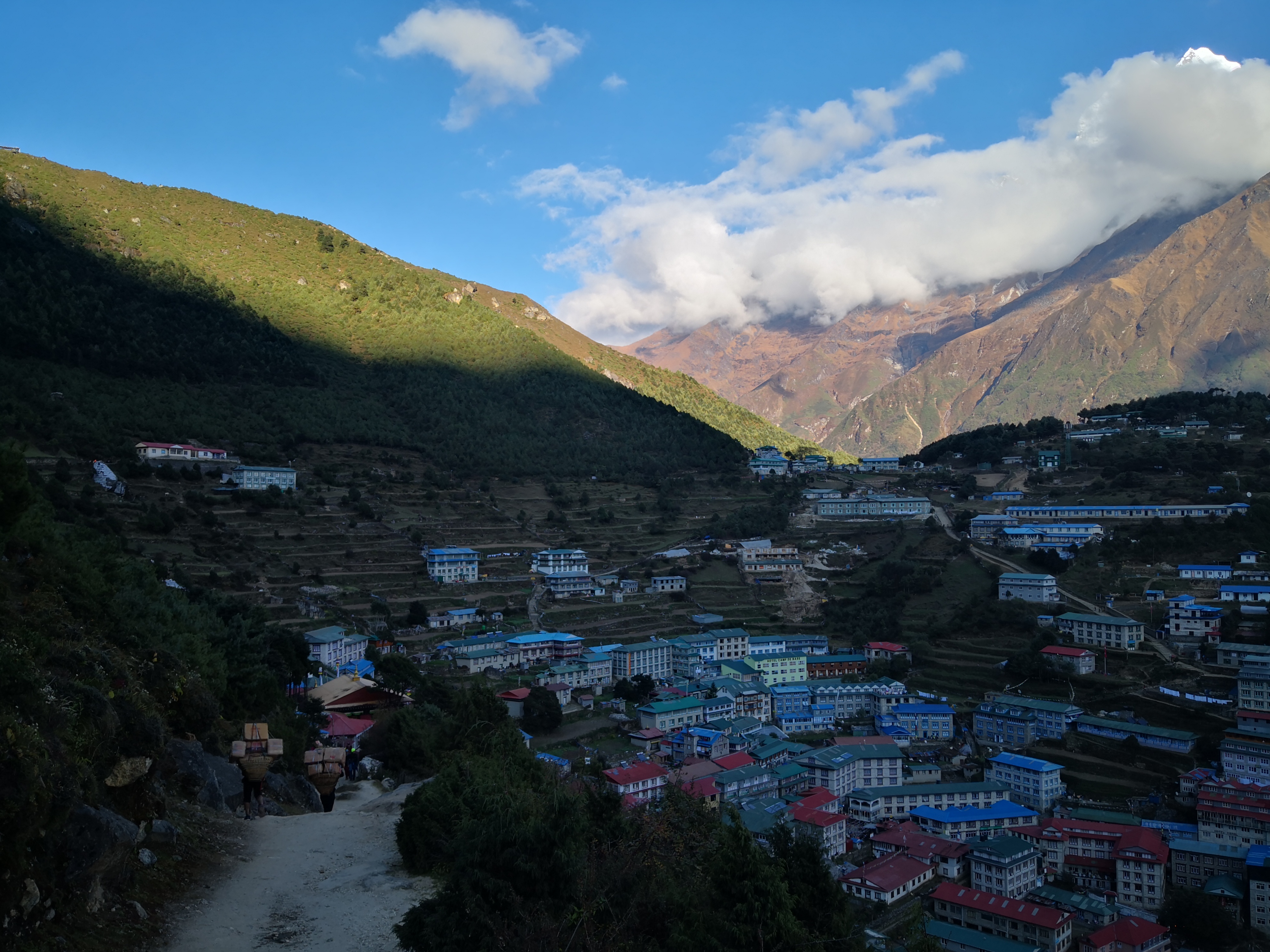
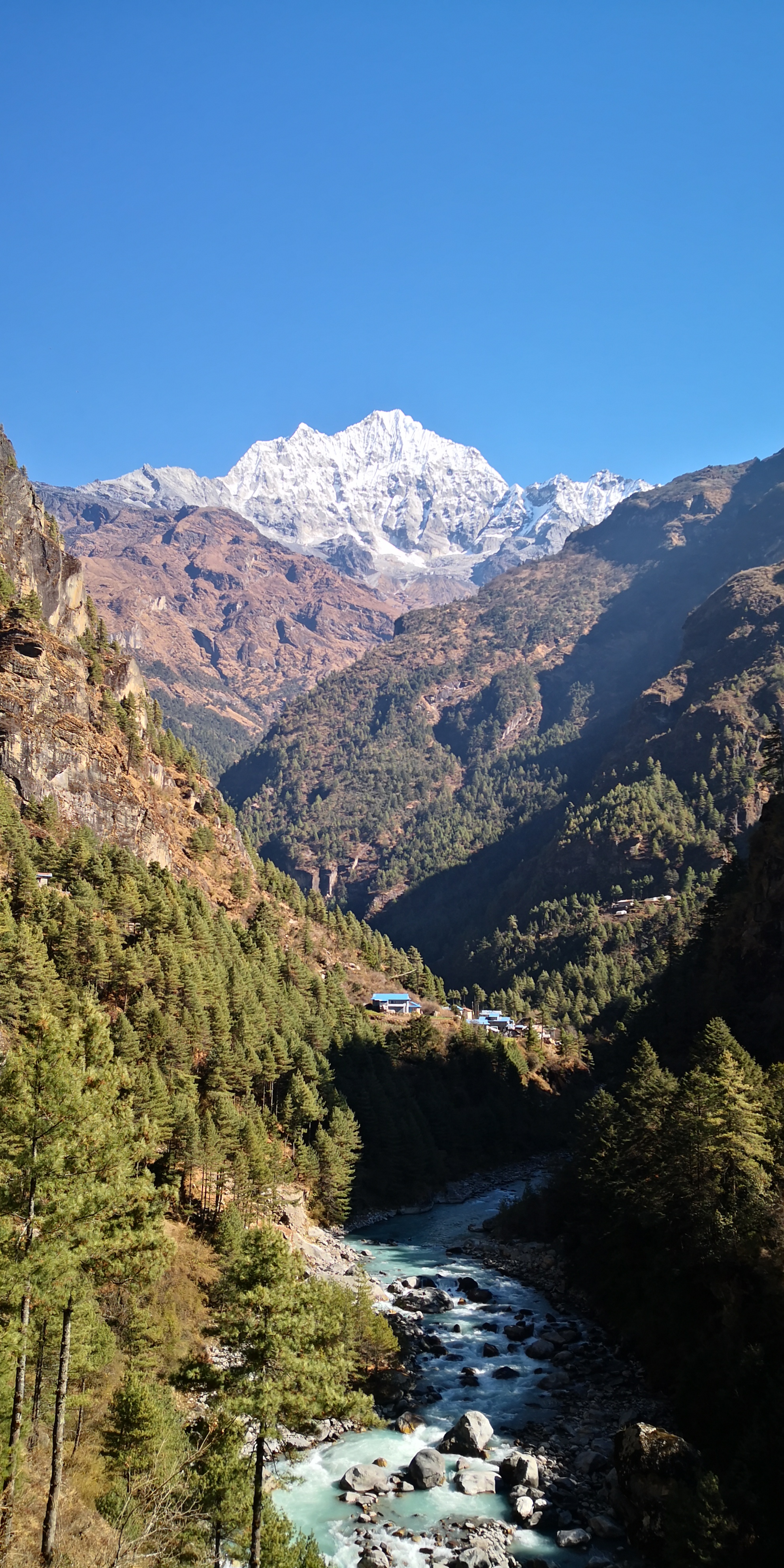
Trek from phakding to namche bazar is one the beautiful trek in the whole trek because of the beautiful villages, local peoples, crossing famous Hillary bridge, alpine forest and a wildlife. Well have our meals along the way in tea houses, take a few breaks in between and We head towards namche bazar.

  • +585 m gained today
  • O₂ 65% of sea level
  • Day 2 of 18
Phakding to Namche bazar  - 3,445 m
Phakding to Namche bazar

Day 03 · Acclimatization · 3,445 m

Rest day in namche bazar

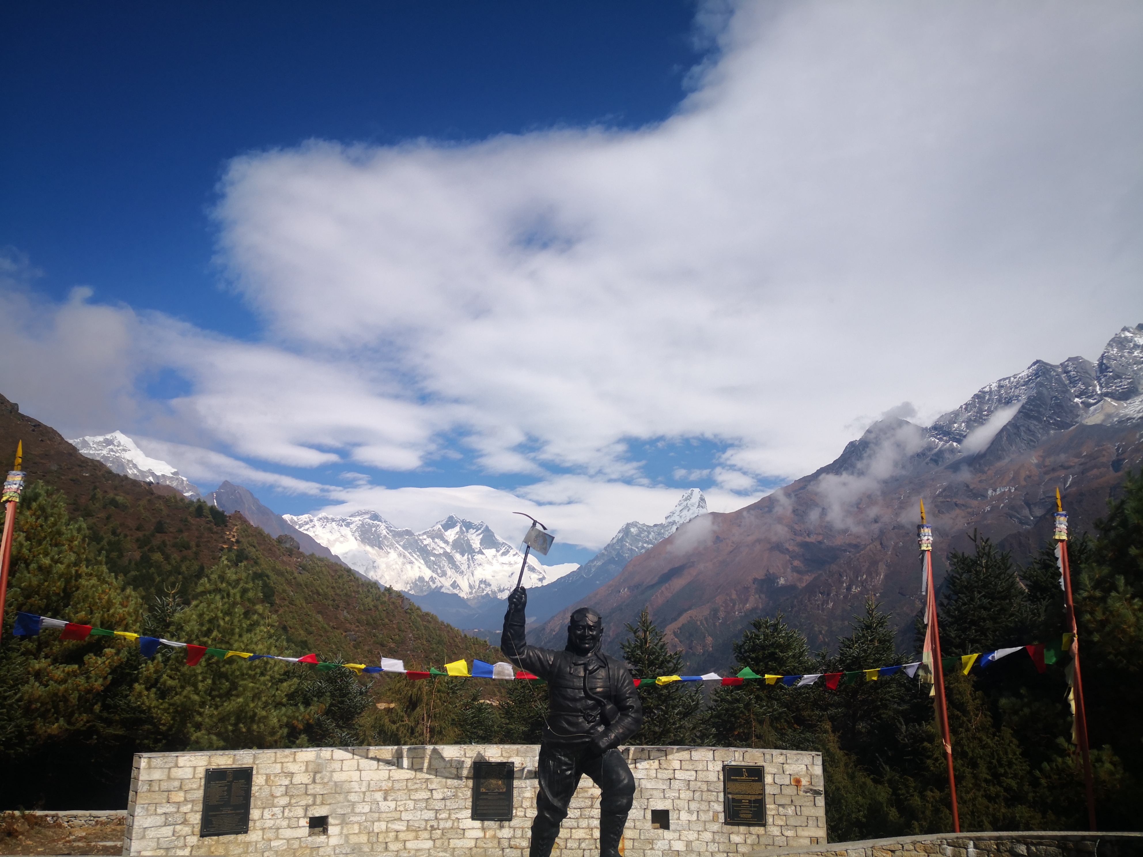
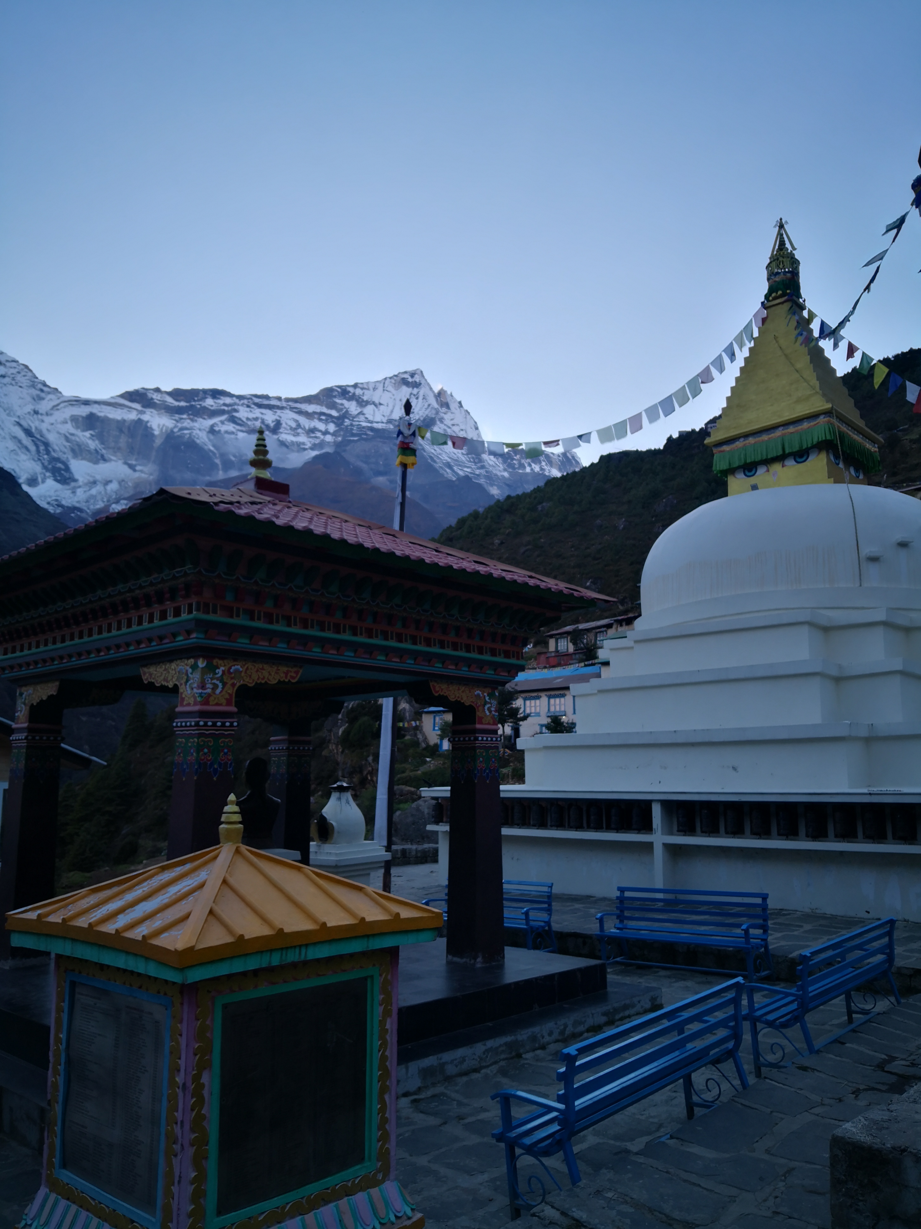
Acclimatise trek to khumjung and Everest view point. Explore namche bazar (The monestary, meausem, stupas, view point, village, markets, local foods ). You can see the view of the top of the world and the whole Himalayan range from here.

  • O₂ 65% of sea level
  • Day 3 of 18
Rest day in namche bazar  - 3,445 m
Rest day in namche bazar

Day 04 · Trek · 3,865 m

Namche bazar to Tengboche

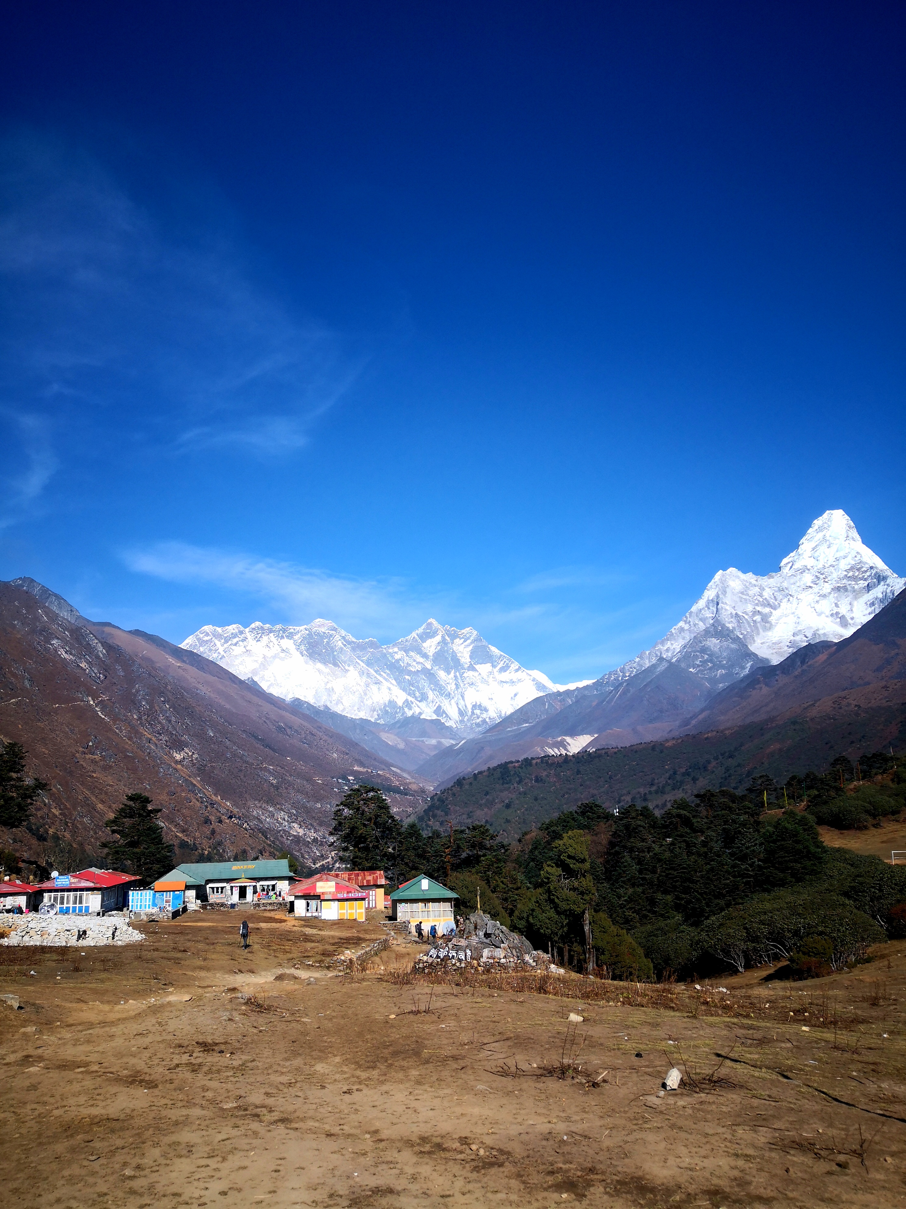
Passing through the Himalayas beautiful Terrains, breathtaking scenery, crystal clear river, suspension bridge, local villages and peoples, stupas and monestary. Such as kayanjuma village, phorste village, phunki thangka village, imja river, tengboche monestary. You can also see the view of Mt. Everest, Lhotse, ama dablam, tobuche, thamsherku and khongde. The trail is quite easy and short so we trek slowly adapting our body with the elavation we gain. Our snacks, tea and lunch break will be on the way in local Sherpa peoples tea houses.

  • +420 m gained today
  • O₂ 62% of sea level
  • Day 4 of 18
Namche bazar to Tengboche  - 3,865 m
Namche bazar to Tengboche

Day 05 · Trek · 4,410 m

Tengboche to Dingboche

Trek through the rhododendron and alpine Forest along side of imja River. Crossing the suspension bridge with view of ama dablam and Lhotse south face in the front. Mean while we are also getting one step closer to our first pass (kongma la pass). Today is the day we cross the tree line which is above 4000 meters. After we cross the pangboche village we will be above 4000 meters. We Will have a tea break in pangboche village and our lunch break will be in shomare village. After that we go straight to the final destination of the day dengboche village.

  • +545 m gained today
  • O₂ 58% of sea level
  • Day 5 of 18
Tengboche to Dingboche - 4,410 m
Tengboche to Dingboche

Day 06 · Acclimatization · 4,410 m

Rest day at dingboche

Acclimatization trek to nangkartshang view point 5000 meters and come down to dengboche village. After that we can take a rest or explore around the village, local houses, shops and enjoy the best high altitude bakery and coffee shop here.

  • O₂ 58% of sea level
  • Day 6 of 18
Rest day at dingboche  - 4,410 m
Rest day at dingboche

Day 07 · Trek · 4,735 m

Dengboche to Chhukung

It's a short trek to Chhukung village. Enjoying the views of the Mt. Lhotse south face , island peak, baruntse and ama dablam. Get ready for the kongma la pass 5535 meters early in the morning. So, Eat good, rest well and drink lot of water.

  • +325 m gained today
  • O₂ 55% of sea level
  • Day 7 of 18
Dengboche to Chhukung  - 4,735 m
Dengboche to Chhukung

Day 08 · Trek · 5,535 m

Chhukung to Kongma la pass / lobuche 4800 M

We Will wake up early In the morning at 4 am for the breakfast, grab our bags and leave at 5 am for the kongma la pass. The trail is steep in some parts ,there is two beautiful lake at the top of kongma la pass. From the top you can the both sides of the Himalayan range and then we go down cross the khumbu glacier to reach the lobuche village. So make sure we have enough foods, snacks and water for the way.

  • +800 m gained today
  • O₂ 50% of sea level
  • Day 8 of 18
Chhukung to Kongma la pass / lobuche 4800 M  - 5,535 m
Chhukung to Kongma la pass / lobuche 4800 M

Day 09 · Trek · 5,364 m

Lobuche to Everest base camp / gorakshep 5165 M

At first we trek towards gorakshep crossing khumbu glacier rocky parts after once we reach gorakshep we will drop our bags in our hotel rooms. Garb something to eat and then we trek to Everest base camp. We only take snacks, water and camera for the picture.The way is gradual with the stunning views all around of the himalayas. You can see Mt. Nuptse, west shoulder of the Everest, pumori, khumbutse from the Everest base camp, khumbu glacier. After that we come back to gorakshep for the overnight stay.

  • O₂ 51% of sea level
  • Day 9 of 18
Lobuche to Everest base camp / gorakshep 5165 M - 5,364 m
Lobuche to Everest base camp / gorakshep 5165 M

Day 10 · Trek · 4,840 m

Gorakshep to Zongla

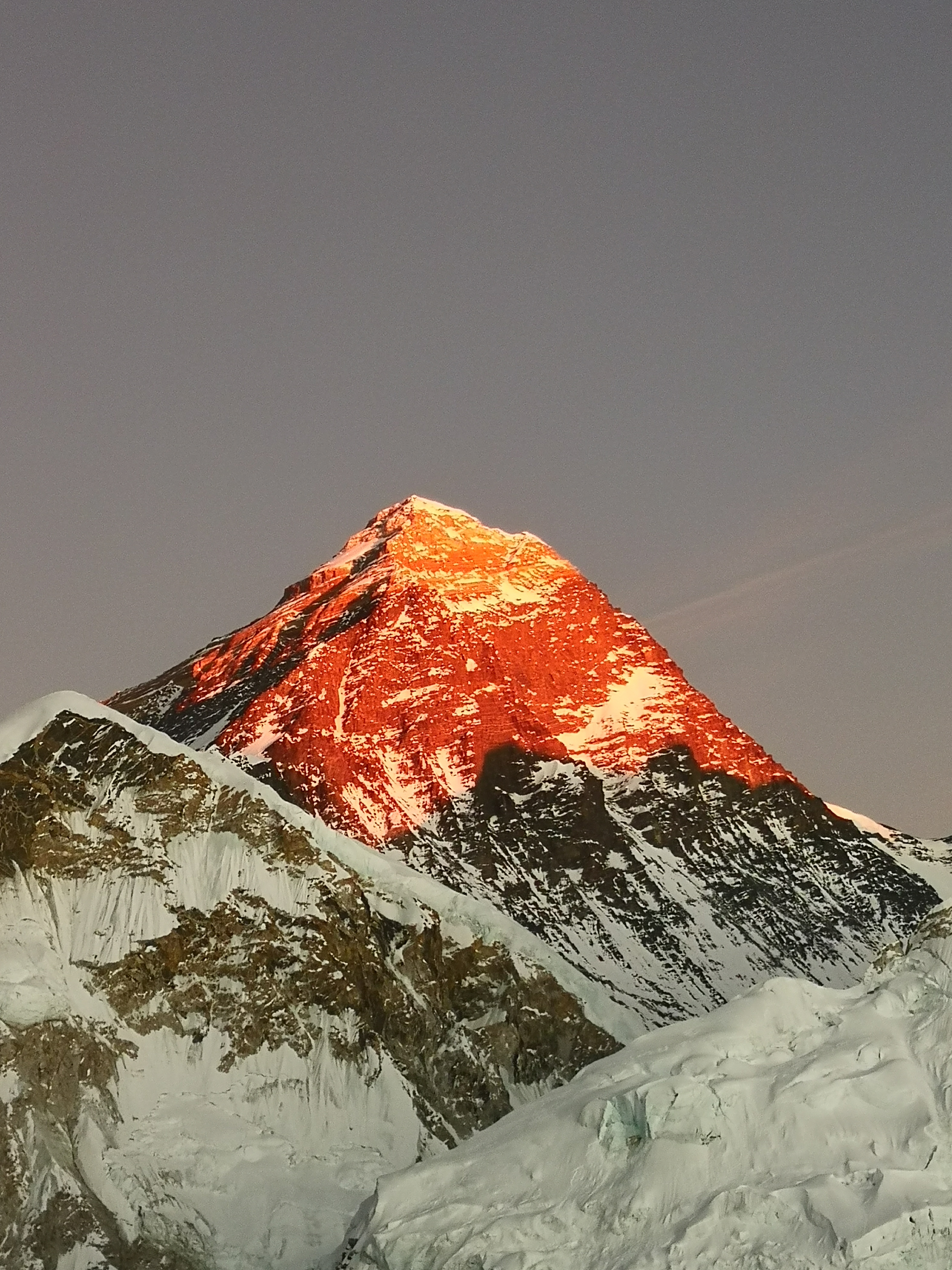
In the morning 4:30am we go to see the sunrise for the Kala pathar 5550 meters which is the highest point of the trek and you can see the best view and the closest view of Mt. Everest, nuptse, Lhotse, pumori, khumbu glacier etc. after that we come down to gorakshep have our breakfast, garb our bags and trek towards lobuche where we'll have our lunch and then we go to zongla village for our overnight stay.

  • O₂ 54% of sea level
  • Day 10 of 18
Gorakshep to Zongla  - 4,840 m
Gorakshep to Zongla

Day 11 · Trek · 5,420 m

Zongla to Chola pass / Gokyo 4800 M

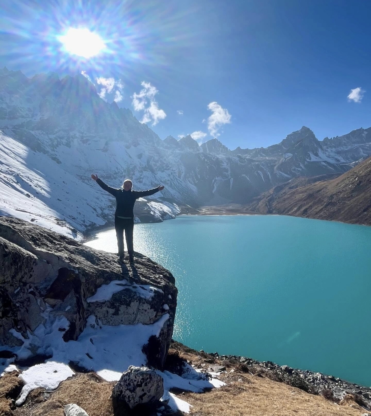
We will wake up 4:30am have our breakfast, we garb our bags and 5:30am we start the trek towards chola pass. The last part before we reach the top of chola pass there is a ice block 250 meters till the top. so we use our ice crampons to cross this area. Once we reach the top of chola pass 5420 meters, (our 2nd pass of the trek) we will have some snacks and decent 150 meters with the ropes and then we trek towards thangnak village where will have our lunch and rest. After that we cross the ngozumpa glacier and trek towards gokyo village. The gokyo village is front of the gokyo lake.

  • +580 m gained today
  • O₂ 50% of sea level
  • Day 11 of 18
Zongla to Chola pass / Gokyo 4800 M - 5,420 m
Zongla to Chola pass / Gokyo 4800 M

Day 12 · Acclimatization · 5,360 m

Rest day in gokyo 4800 M

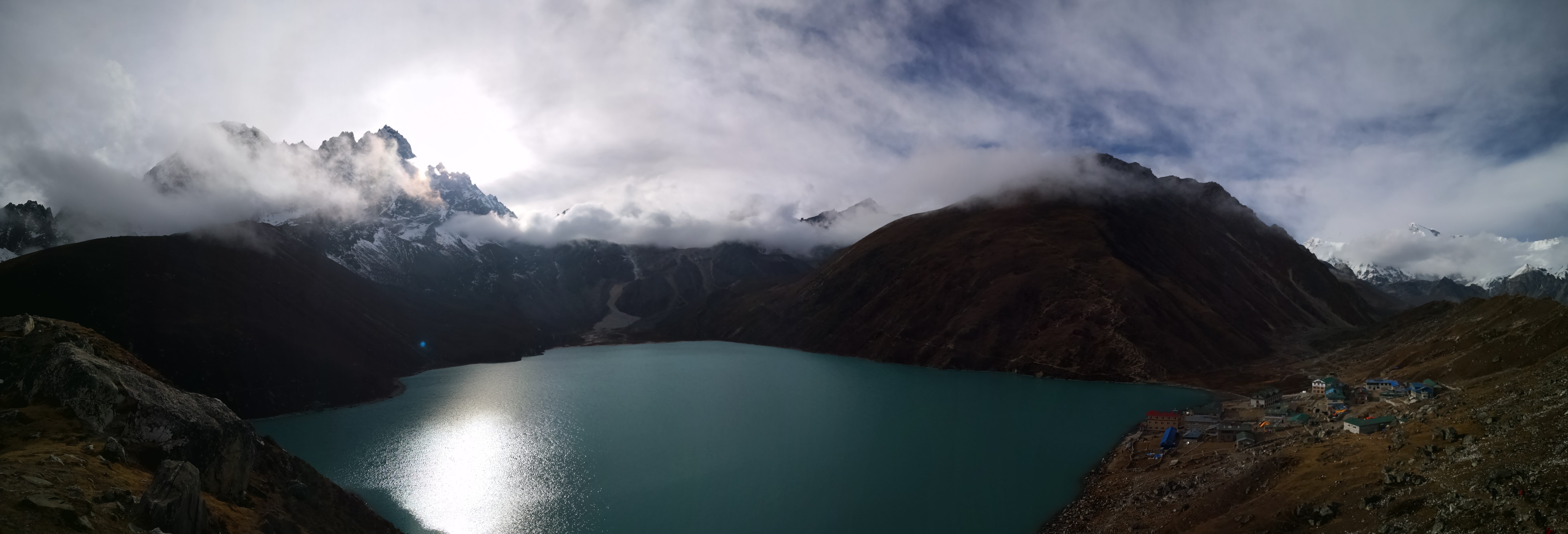
Trek to gokyo ri view point yo see the sunrise or sunset depending on the weather as well. This the one of the best view point of the trek so we should not miss this opportunity. After that we can take a rest in our hotel enjoy the warm meals and drinks with the spectacular views around.

  • O₂ 51% of sea level
  • Day 12 of 18
Rest day in gokyo 4800 M - 5,360 m
Rest day in gokyo 4800 M

Day 13 · Trek · 5,360 m

Gokyo to Renjo la pass / lungden 4380 M

We wake up early in the morning 4:30 am for breakfast , garb our bags and 5:30 am leave for the renjo la pass. So make sure you have enough water and snacks / foods for the way because there is no tea houses in between. Once we reach to top of renjo la pass you can see the best view of the four 8000ers peaks including Mt. Everest, Cho oyu, Makalu and Lhotse with the gokyo lake and ngozumpa glacier. After that we will go down straight to lungden village, taking few breaks in between.

  • O₂ 51% of sea level
  • Day 13 of 18
Gokyo to Renjo la pass / lungden  4380 M - 5,360 m
Gokyo to Renjo la pass / lungden 4380 M

Day 14 · Trek · 3,445 m

Lungden to Namche bazar

Trek from lungden to namche bazar is mostly flat and down hill along side of the bhote koshi River. It is the North west part of the Everest region, closer to Tibetan borders trade route (nangpa la pass) and the Rowling valley ( Tashi lapcha pass ). There is many beautiful villages like marulung, Thame, samde,thamo etc which are home to greatest climbers of the world even tenzing norgay Sherpa - the first summiter of Mt. Everest in 1953, himself was from thame village. You can see the himalayas, monestaries, framing fields of the locals, yaks (mountain cow) and Tibetan horses. Our tea , snacks and lunch break will be on the way.

  • O₂ 65% of sea level
  • Day 14 of 18
Lungden to Namche bazar  - 3,445 m
Lungden to Namche bazar

Day 15 · Acclimatization · 3,445 m

Rest Day In namche bazar

After long days of trekking it is very good to just relax in the himalayas doing laundry, showers, eating good foods and talking online with families back home .

  • O₂ 65% of sea level
  • Day 15 of 18
Rest Day In namche bazar  - 3,445 m
Rest Day In namche bazar

Day 16 · Trek · 2,600 m

Namche bazar to Toktok

Coming back down slowly exploring local people Houses, families. Enjoy the last moments of the trek with warmer temperatures. You can have the Best dalbhat here in this small village with the friendly owners of this tea house.

  • O₂ 73% of sea level
  • Day 16 of 18
Namche bazar to Toktok - 2,600 m
Namche bazar to Toktok

Day 17 · Trek · 2,860 m

Tok tok to Lukla

Head towards lukla to catch a flight back to Kathmandu. It is the last night of the trek so, have fun in lukla and rest well too. Flights will be early in the morning next day.

  • +260 m gained today
  • O₂ 70% of sea level
  • Day 17 of 18
Tok tok to Lukla  - 2,860 m
Tok tok to Lukla

Day 18 · Travel · 1,400 m

Lukla to Kathmandu

Take flight back from lukla airport to Kathmandu airport in the morning. We will drop to your hotel from the Kathmandu airport.

  • O₂ 84% of sea level
  • Day 18 of 18
Lukla to Kathmandu  - 1,400 m
Lukla to Kathmandu

Photos: Wikimedia Commons contributors · CC BY-SA

Elevation

How the days climb.

Hover the profile to see each day - conservative ascent, acclimatization built in.

1,000m2,667m4,333m6,000mD1D3D5D7D9D11D13D15D175,535 m

The ledger

The climb, in numbers.

Everything about this route, derived from the itinerary - from the metres you gain to the oxygen you'll be breathing at the top.

18Days on the trail
5,535 mHigh point
3,515 mTotal climb
ChallengingDifficulty
2–10Group size
April · May · October · November · DecemberBest season
50%Oxygen at the top
Day 8High-point day

Thinner air, day by day.

Oxygen falls with altitude. You start at 84% of sea level and finish at 50% at the high point - which is why every ascent profile here is conservative, with rest days built in.

  • Best trekked April
  • Best trekked May
  • Best trekked October
  • Best trekked November
  • Best trekked December
TrekAcclimatizationTravelHigh point

Scenes

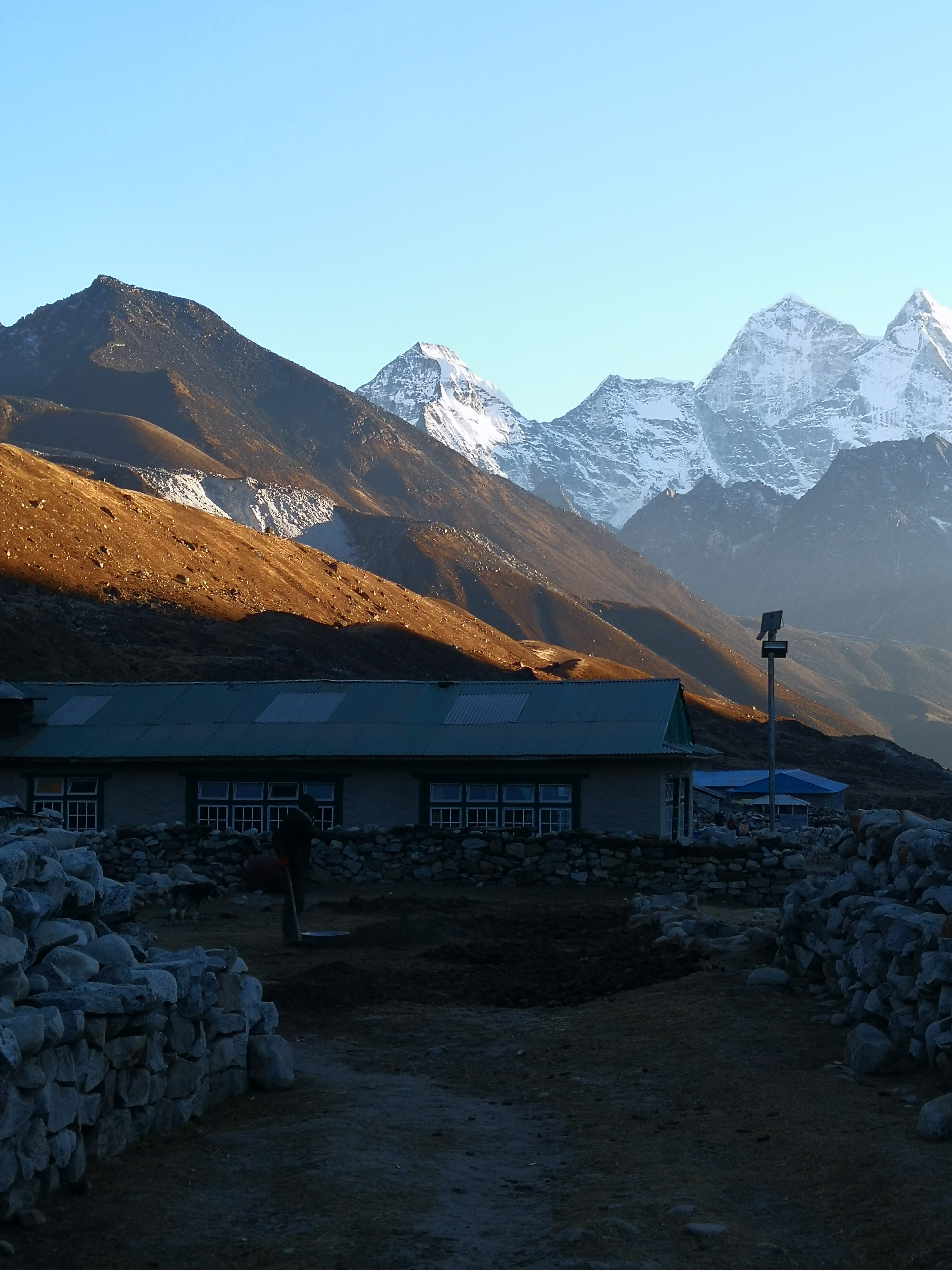
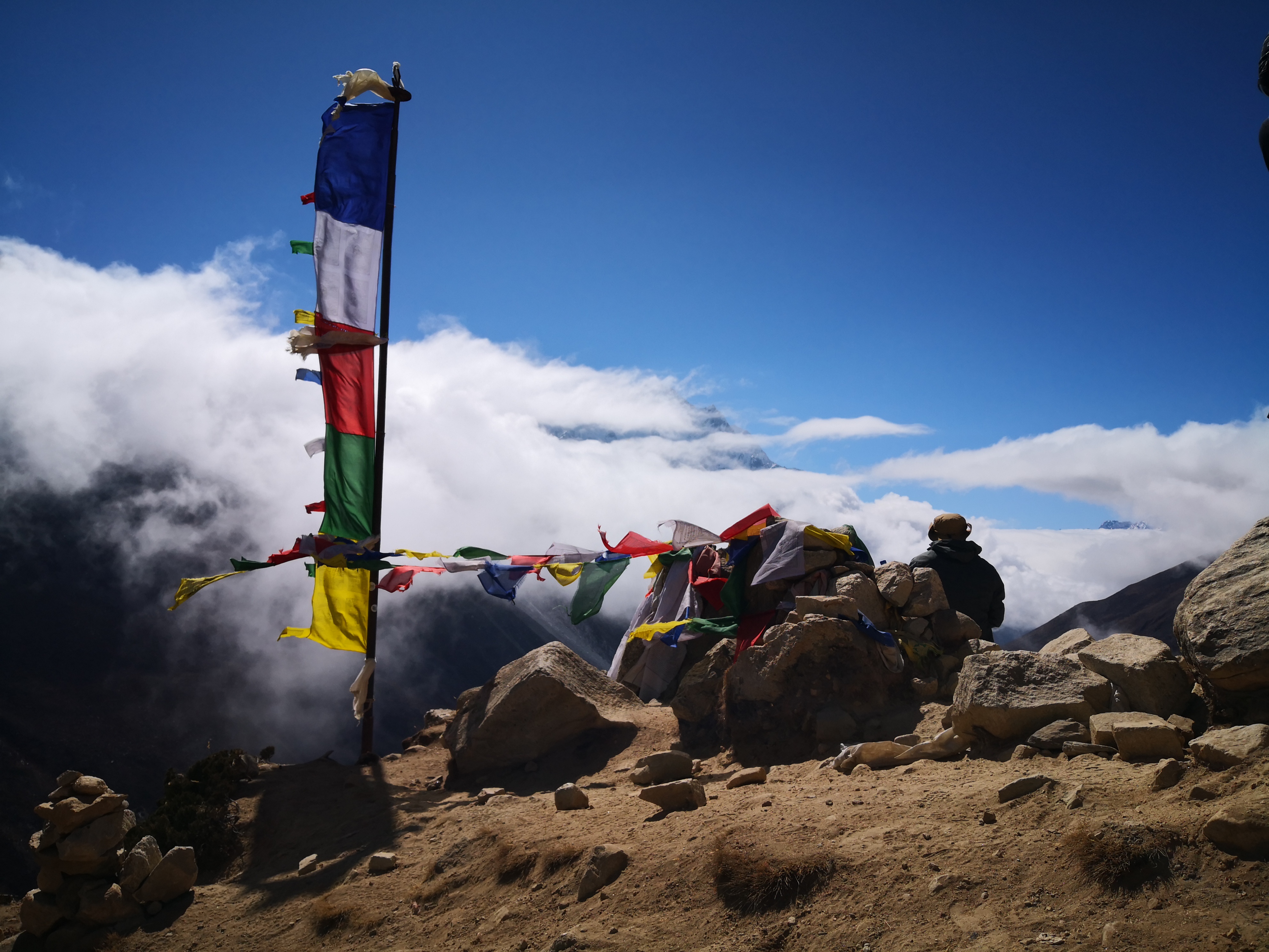
What a Solukhumbu day looks like.

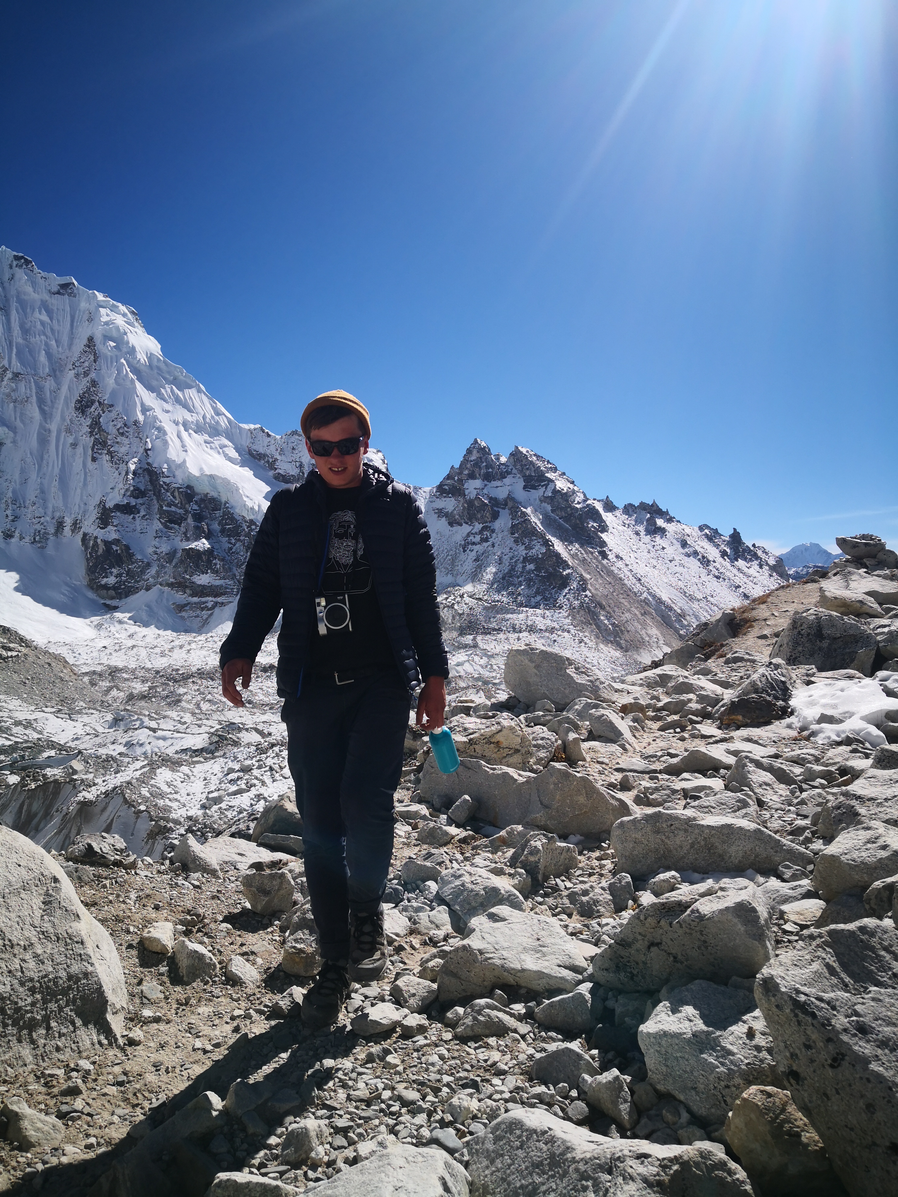
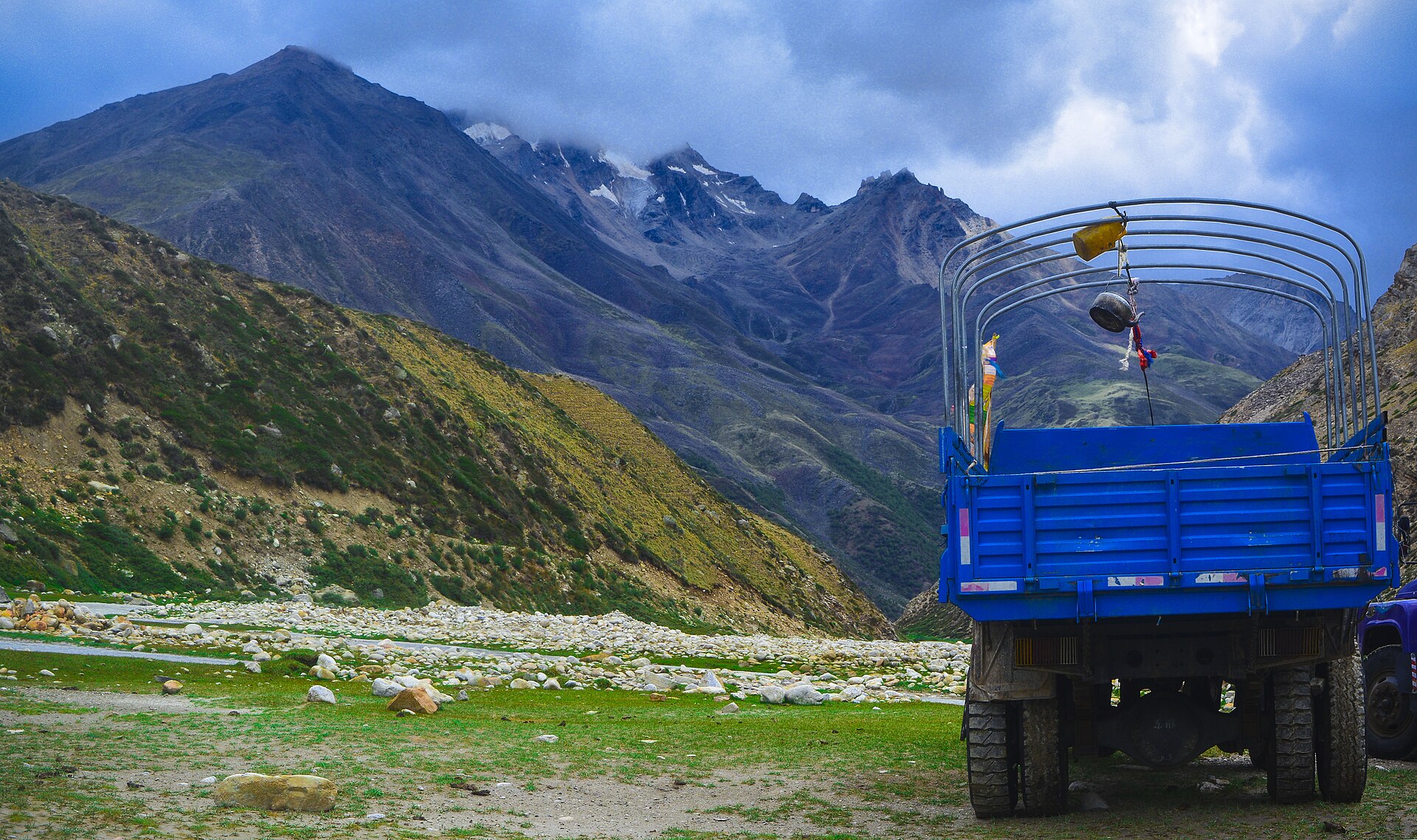
Everest base camp + 3 pass Trek  - photo 1
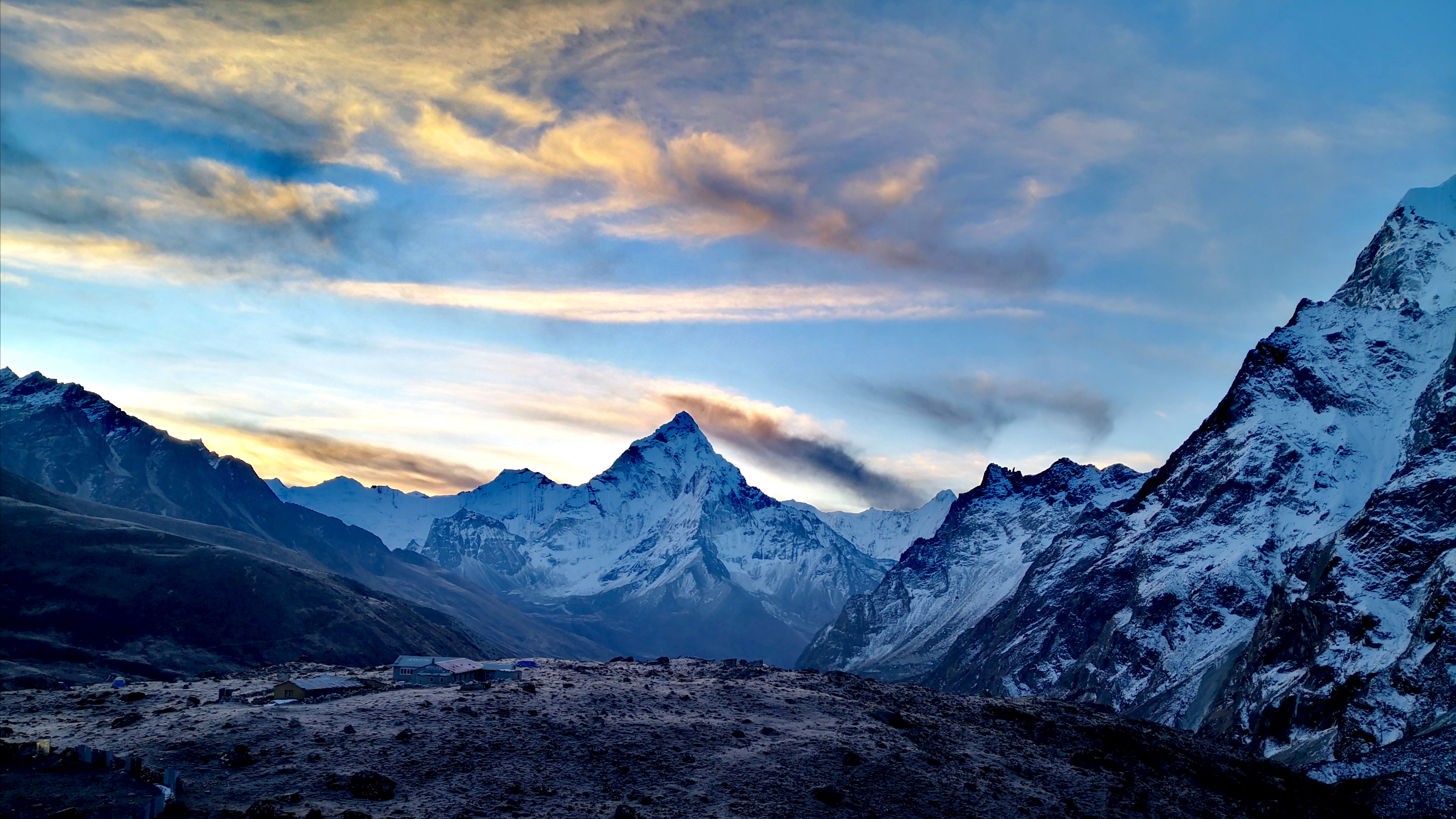
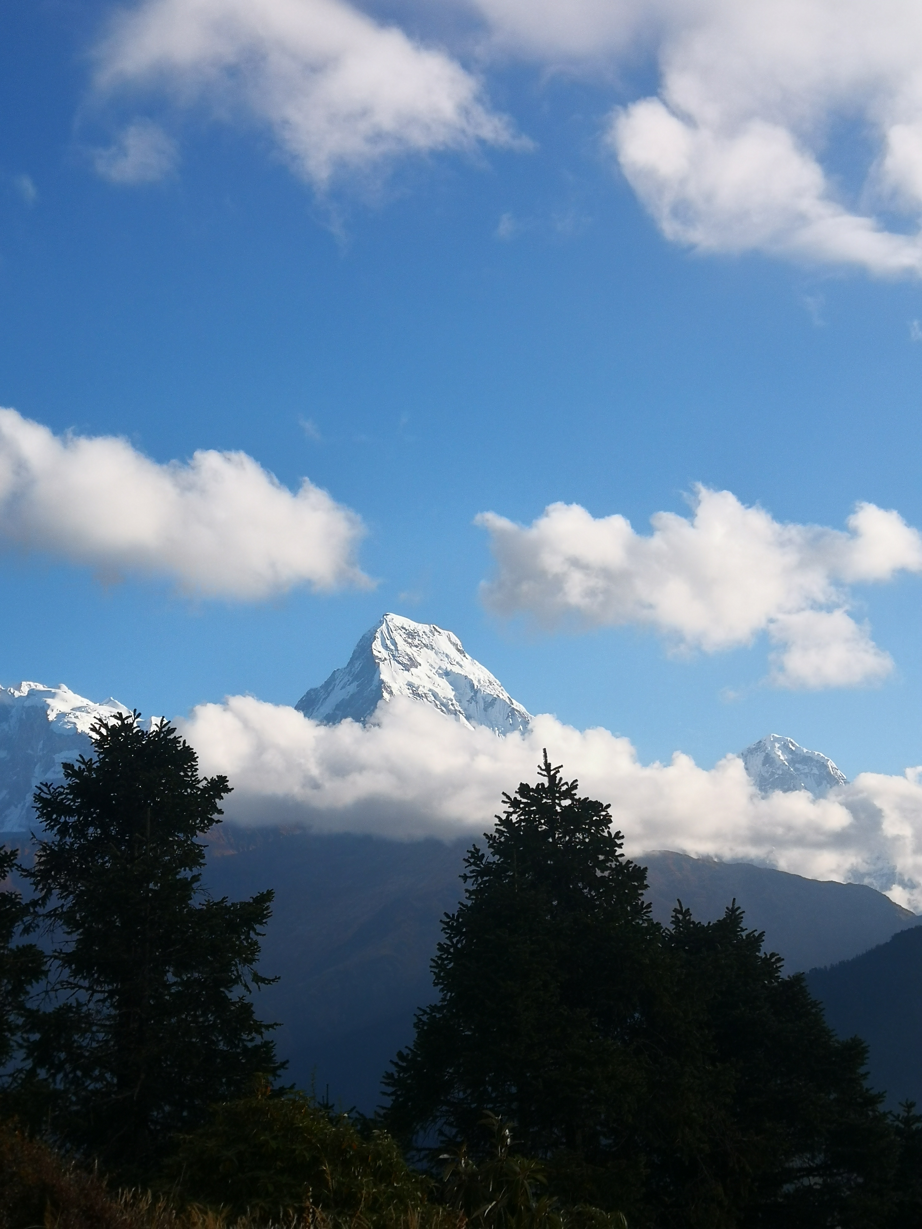
Everest base camp + 3 pass Trek  - photo 2

Reviews

What travelers say.

No reviews yet - be the first to share how it went.

Share your experience

Your best trek shot

Reviews are read before they go live, so it may take a little while to appear.

Walk this route

Everest base camp + 3 pass Trek , 18 days - shaped around you.

Permits, flights, crew and every cup of tea along the way, handled by Abishek Sherpa. Tell us your dates and we'll send a full quote within a day.