Sherpa Treks NepalSherpa Treks

Lower Dolpo, Shey Phoksundo · 29.22° N · 83.05° E

Lower Dolpo

The compact Dolpo expedition - two weeks across the Numa La and Baga La to the mythic Tarap valley and the shores of Phoksundo, in the rain-shadow behind Dhaulagiri where monsoon never arrives.

remoterestrictedlakes15 days5,190 mChallenging
Begin the ascent

Day 01 · Travel · 150 m

Fly to Nepalgunj

Fly to the Terai and prepare for the mountains.

  • O₂ 98% of sea level
  • Day 1 of 15
Fly to Nepalgunj - 150 m
Fly to Nepalgunj

Day 02 · Travel · 2,140 m

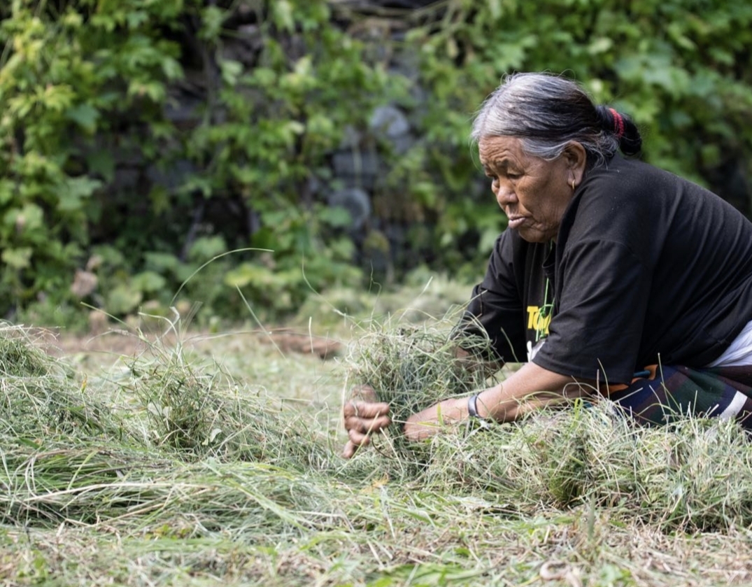
Fly to Juphal, trek to Dunai

The spectacular short flight to Juphal, then down to the Thuli Bheri river.
  • +1,990 m gained today
  • O₂ 77% of sea level
  • Day 2 of 15
Fly to Juphal, trek to Dunai - 2,140 m
Fly to Juphal, trek to Dunai

Day 03 · Trek · 2,537 m

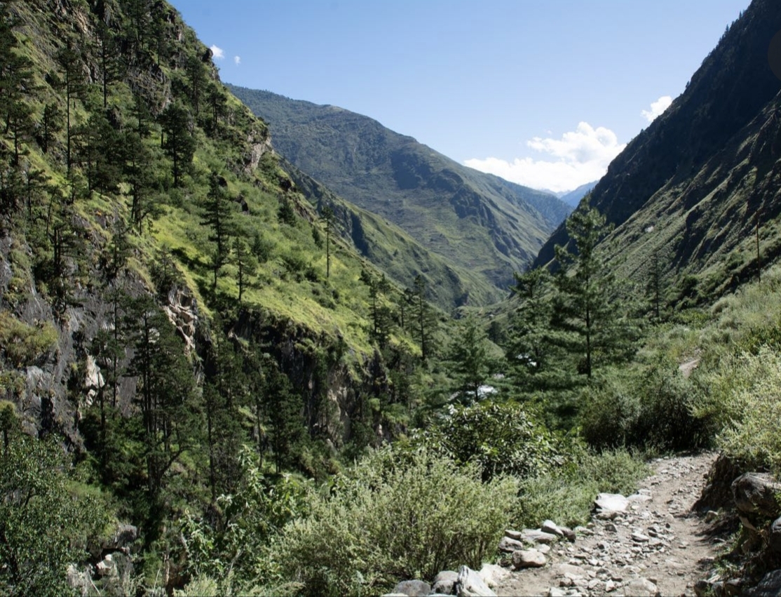
Dunai to Tarakot

Walk upstream to the medieval fortress village of Tarakot.
  • +397 m gained today
  • O₂ 73% of sea level
  • Day 3 of 15
Dunai to Tarakot - 2,537 m
Dunai to Tarakot

Day 04 · Trek · 3,160 m

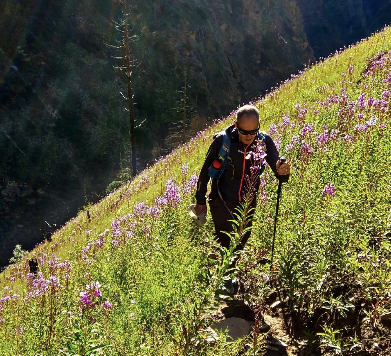
Tarakot to Laini

Enter the Tarap gorge, camping by the river beneath towering cliffs.
  • +623 m gained today
  • O₂ 68% of sea level
  • Day 4 of 15
Tarakot to Laini - 3,160 m
Tarakot to Laini

Day 05 · Trek · 3,545 m

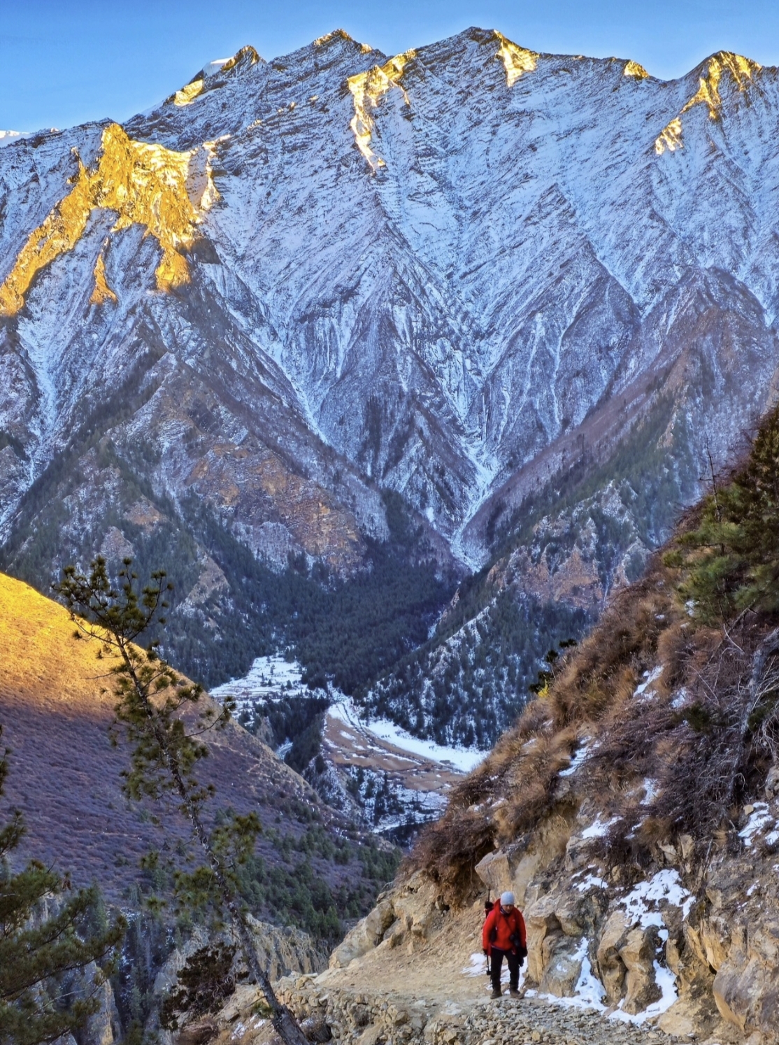
Laini to Nawarpani

A tougher day of ascents on trails cut into the rock.
  • +385 m gained today
  • O₂ 65% of sea level
  • Day 5 of 15
Laini to Nawarpani - 3,545 m
Laini to Nawarpani

Day 06 · Trek · 4,080 m

Nawarpani to Dho Tarap

The gorge opens suddenly into the wide, golden Tarap valley.

  • +535 m gained today
  • O₂ 60% of sea level
  • Day 6 of 15
Nawarpani to Dho Tarap - 4,080 m
Nawarpani to Dho Tarap

Day 07 · Acclimatization · 4,080 m

Acclimatization in Dho Tarap

Rest among the monasteries and mani walls; visit Bon and Buddhist gompas.

  • O₂ 60% of sea level
  • Day 7 of 15
Acclimatization in Dho Tarap - 4,080 m
Acclimatization in Dho Tarap

Day 08 · Trek · 4,440 m

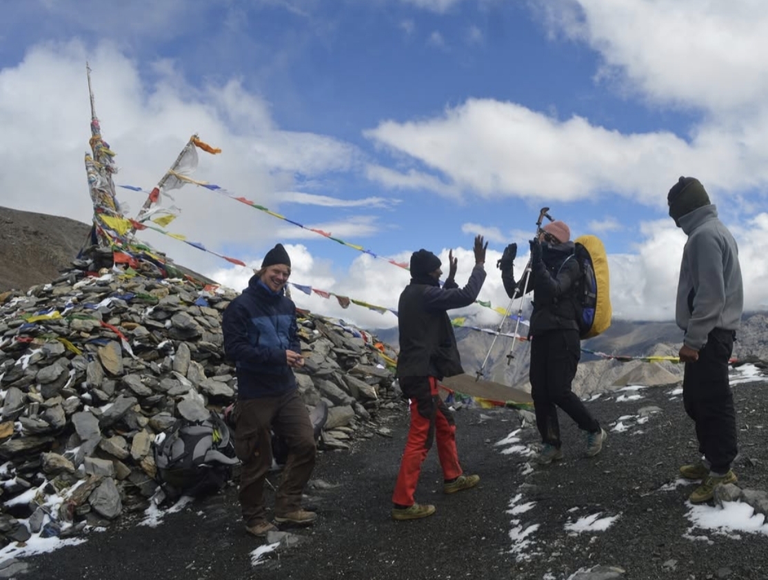
Dho Tarap to Numa La base camp

A short climb to the meadow camp beneath tomorrow's pass.
  • +360 m gained today
  • O₂ 57% of sea level
  • Day 8 of 15
Dho Tarap to Numa La base camp - 4,440 m
Dho Tarap to Numa La base camp

Day 09 · High point · 4,465 m

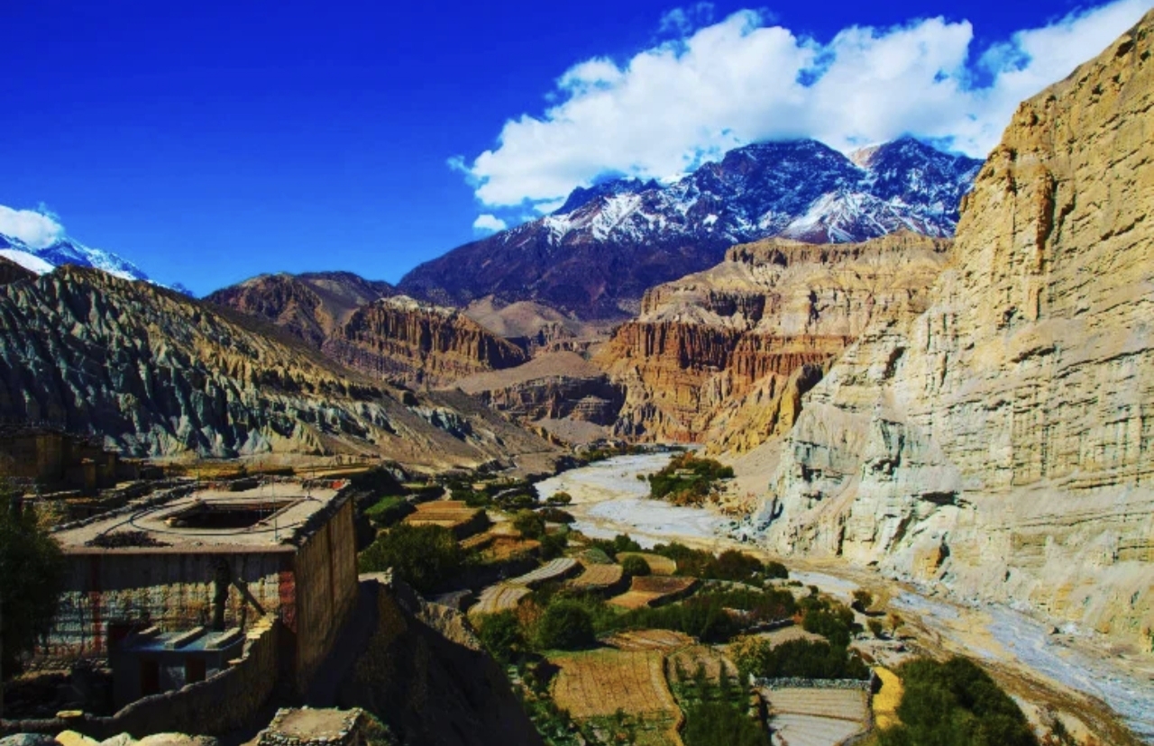
Cross the Numa La to Pelung Tang

Over the Numa La (5,190m) - Dhaulagiri's white wall fills the southern sky.
  • +25 m gained today
  • O₂ 57% of sea level
  • Day 9 of 15
Cross the Numa La to Pelung Tang - 4,465 m
Cross the Numa La to Pelung Tang

Day 10 · High point · 4,080 m

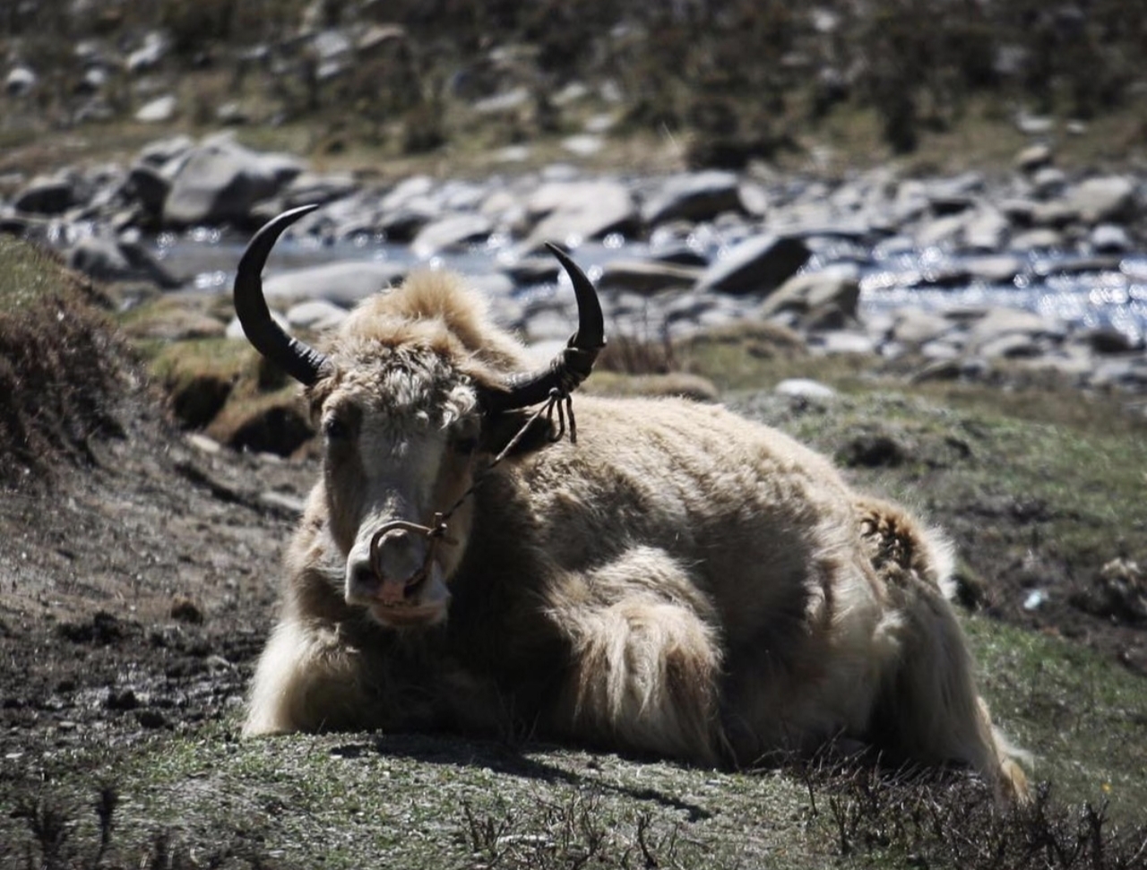
Cross the Baga La to Dajok Tang

A second 5,000m pass (5,070m) with views into the Phoksundo basin.
  • O₂ 60% of sea level
  • Day 10 of 15
Cross the Baga La to Dajok Tang - 4,080 m
Cross the Baga La to Dajok Tang

Day 11 · Trek · 3,611 m

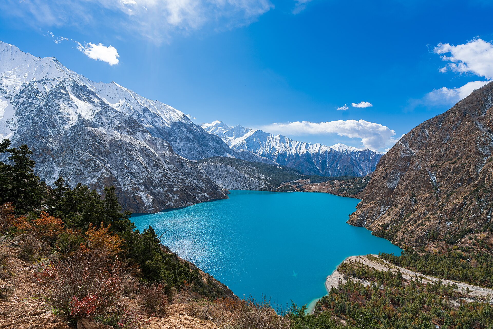
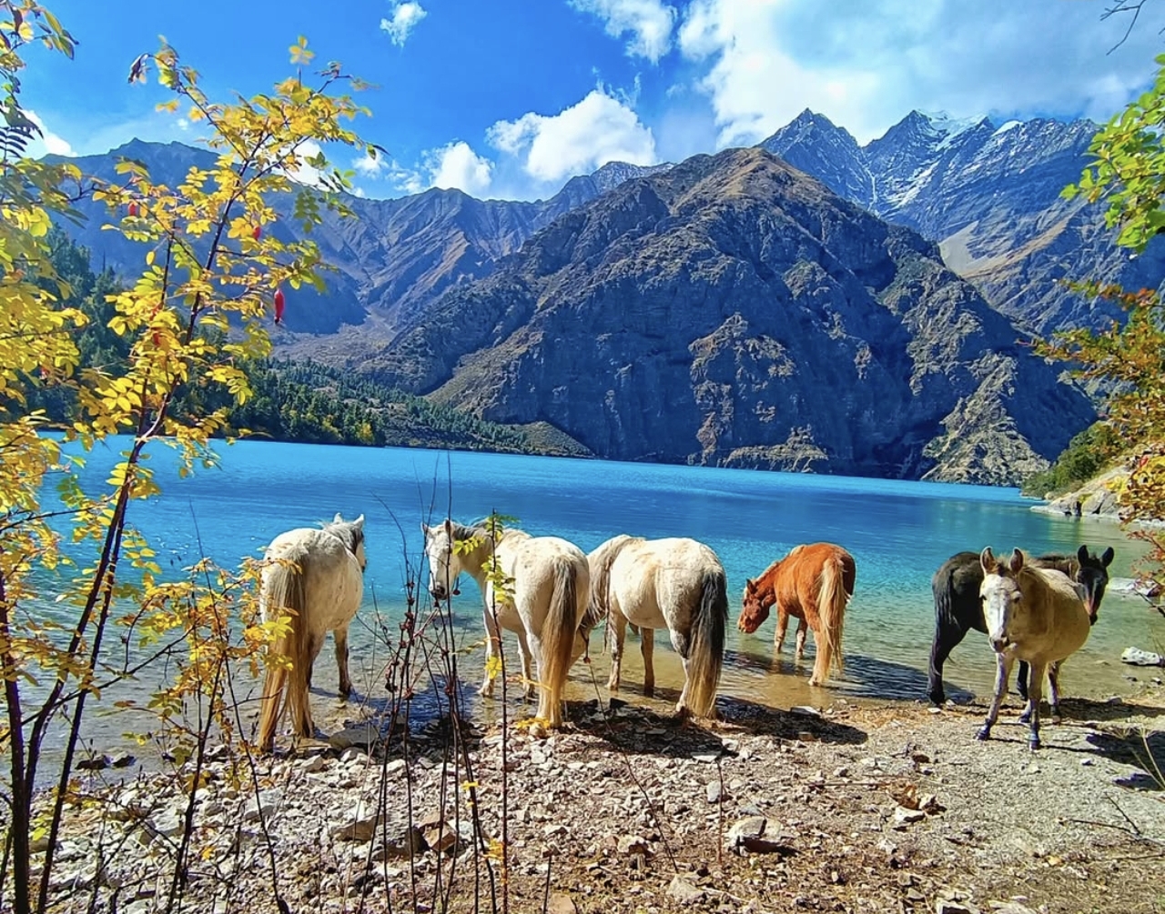
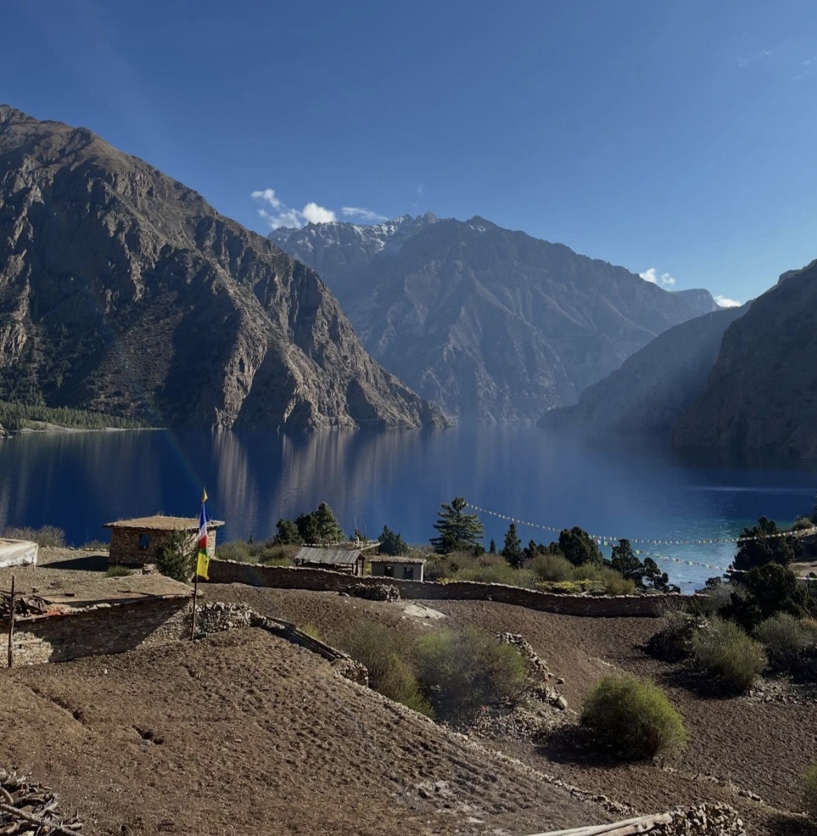
Dajok Tang to Phoksundo Lake

Descend through pine forest to the turquoise shore and Ringmo village.
  • O₂ 64% of sea level
  • Day 11 of 15
Dajok Tang to Phoksundo Lake - 3,611 m
Dajok Tang to Phoksundo Lake

Day 12 · Acclimatization · 3,611 m

Rest at Phoksundo

A day beside the lake - walk the shoreline, visit the gompa, breathe.
  • O₂ 64% of sea level
  • Day 12 of 15
Rest at Phoksundo - 3,611 m
Rest at Phoksundo

Day 13 · Trek · 2,687 m

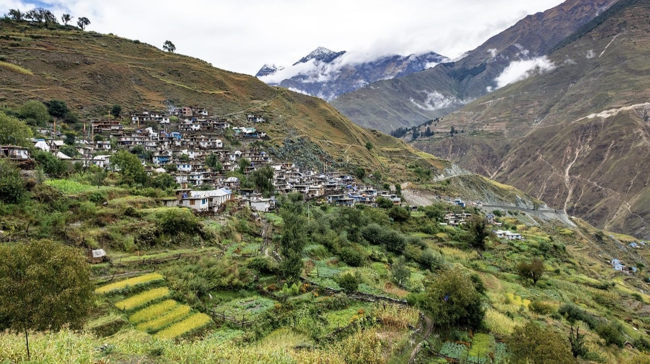
Phoksundo to Chhepka

Down past the great waterfall into the forests of the Suli Gad.
  • O₂ 72% of sea level
  • Day 13 of 15
Phoksundo to Chhepka - 2,687 m
Phoksundo to Chhepka

Day 14 · Trek · 2,475 m

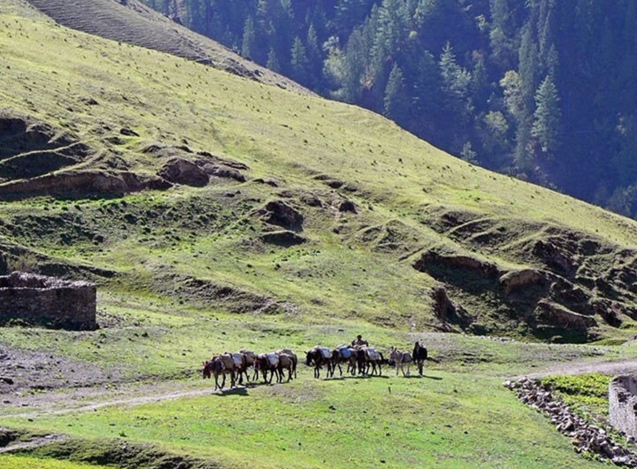
Chhepka to Juphal

Final walk to the airstrip and celebration with the crew.
  • O₂ 74% of sea level
  • Day 14 of 15
Chhepka to Juphal - 2,475 m
Chhepka to Juphal

Day 15 · Travel · 1,400 m

Fly to Kathmandu via Nepalgunj

Return to the capital.

  • O₂ 84% of sea level
  • Day 15 of 15
Fly to Kathmandu via Nepalgunj - 1,400 m
Fly to Kathmandu via Nepalgunj

Photos: Wikimedia Commons contributors · CC BY-SA

Elevation

How the days climb.

Hover the profile to see each day - conservative ascent, acclimatization built in.

0m1,667m3,333m5,000mD1D3D5D7D9D11D13D154,465 m

The ledger

The climb, in numbers.

Everything about this route, derived from the itinerary - from the metres you gain to the oxygen you'll be breathing at the top.

15Days on the trail
4,465 mHigh point
4,315 mTotal climb
ChallengingDifficulty
2–8Group size
May–OctBest season
57%Oxygen at the top
Day 9High-point day

Thinner air, day by day.

Oxygen falls with altitude. You start at 98% of sea level and finish at 57% at the high point - which is why every ascent profile here is conservative, with rest days built in.

  • Best trekked May–Oct
TrekAcclimatizationTravelHigh point

Scenes

What a Lower Dolpo day looks like.

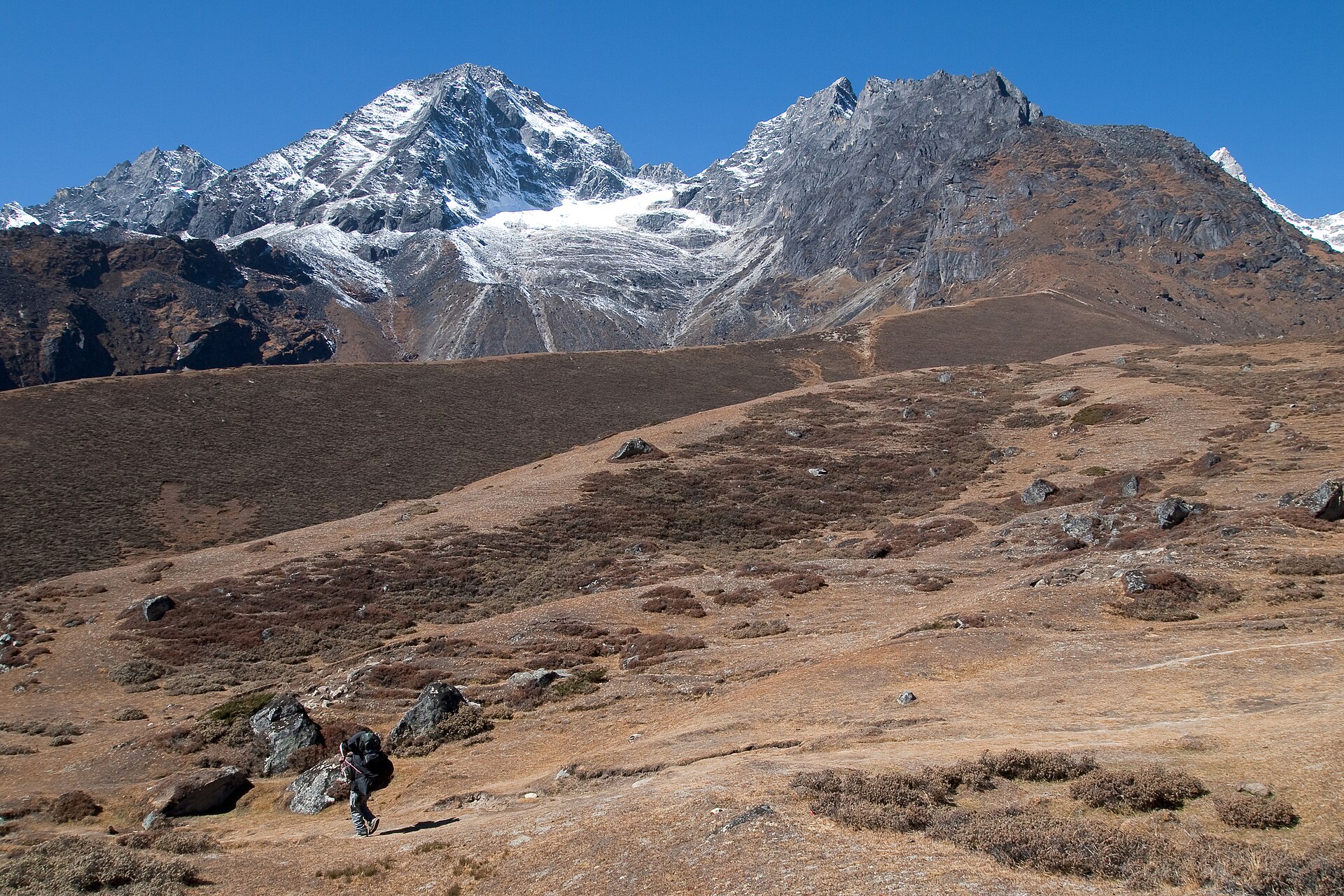
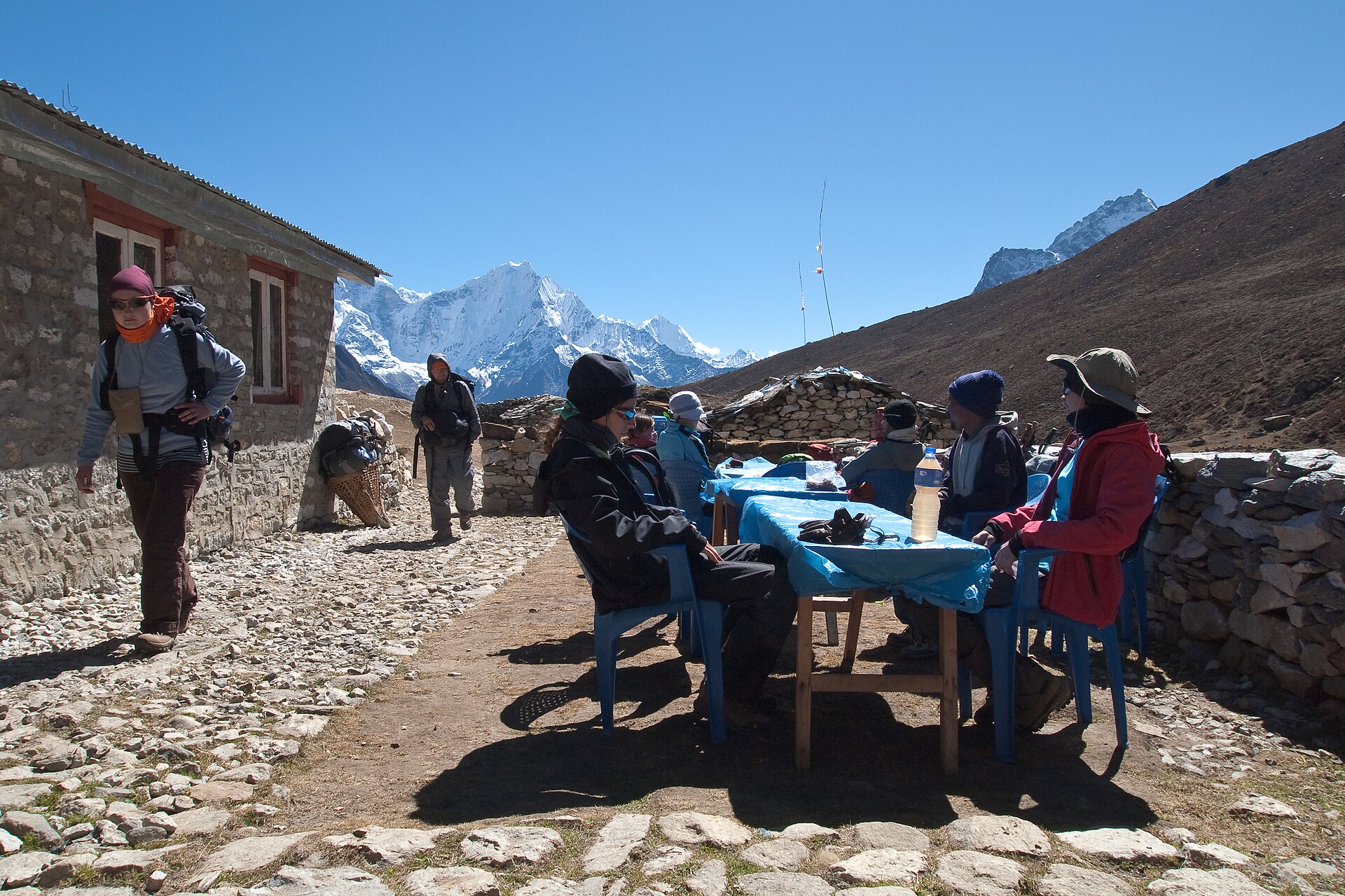
Lower Dolpo - photo 1
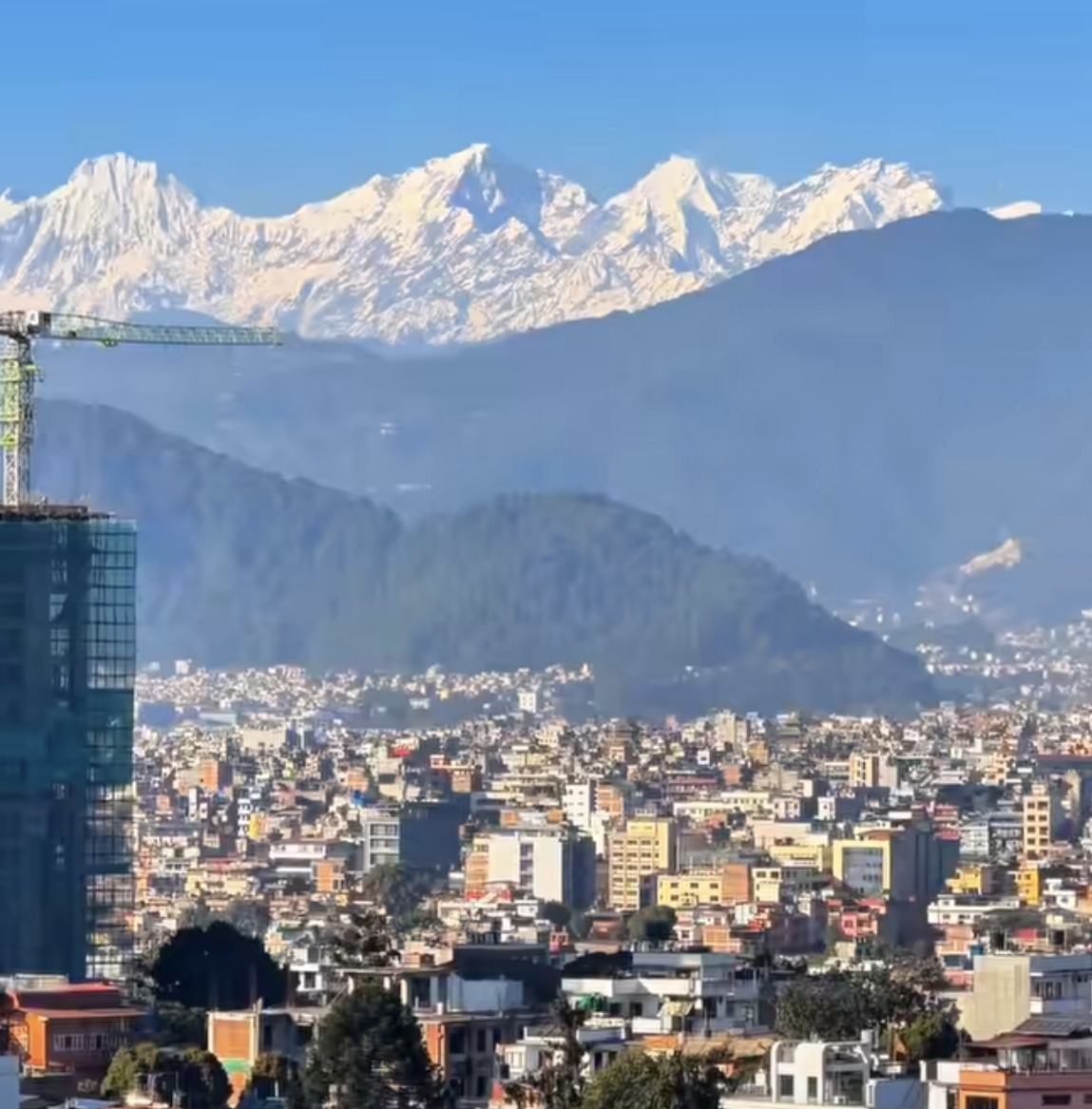
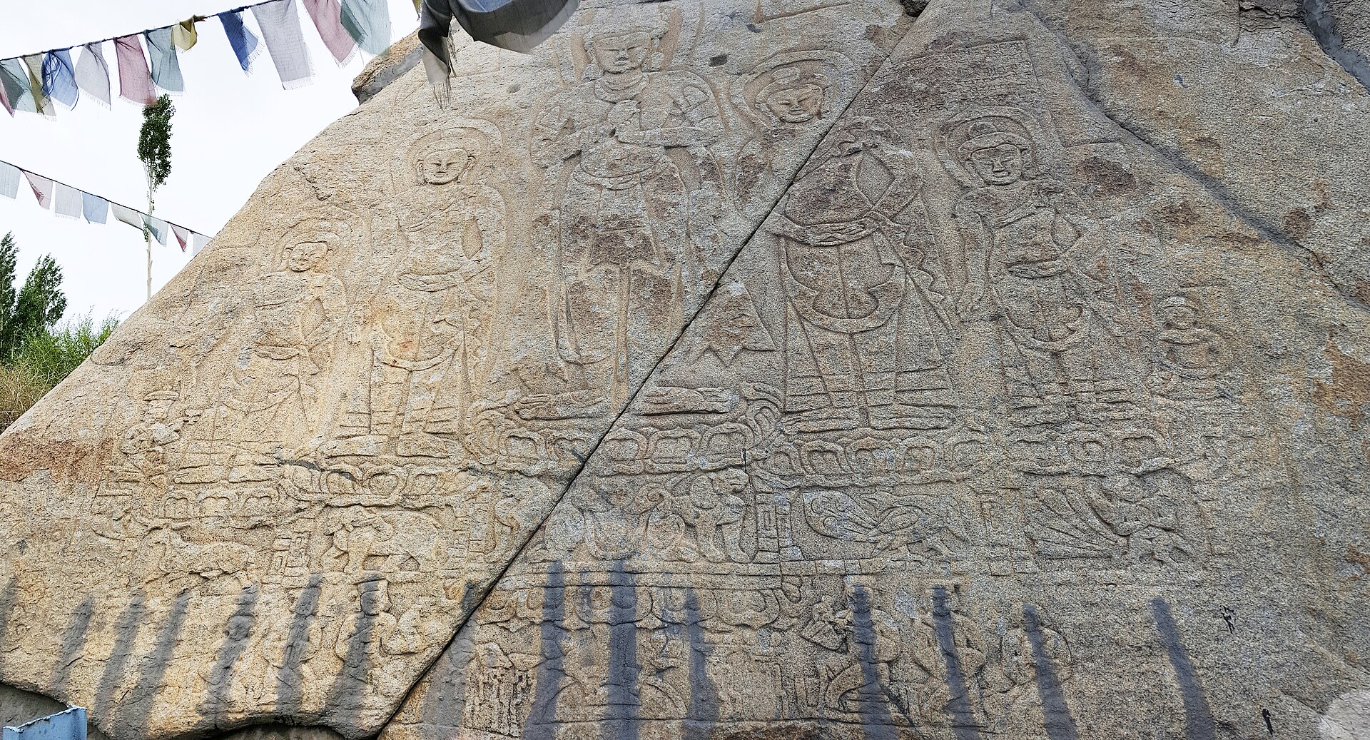
Lower Dolpo - photo 2
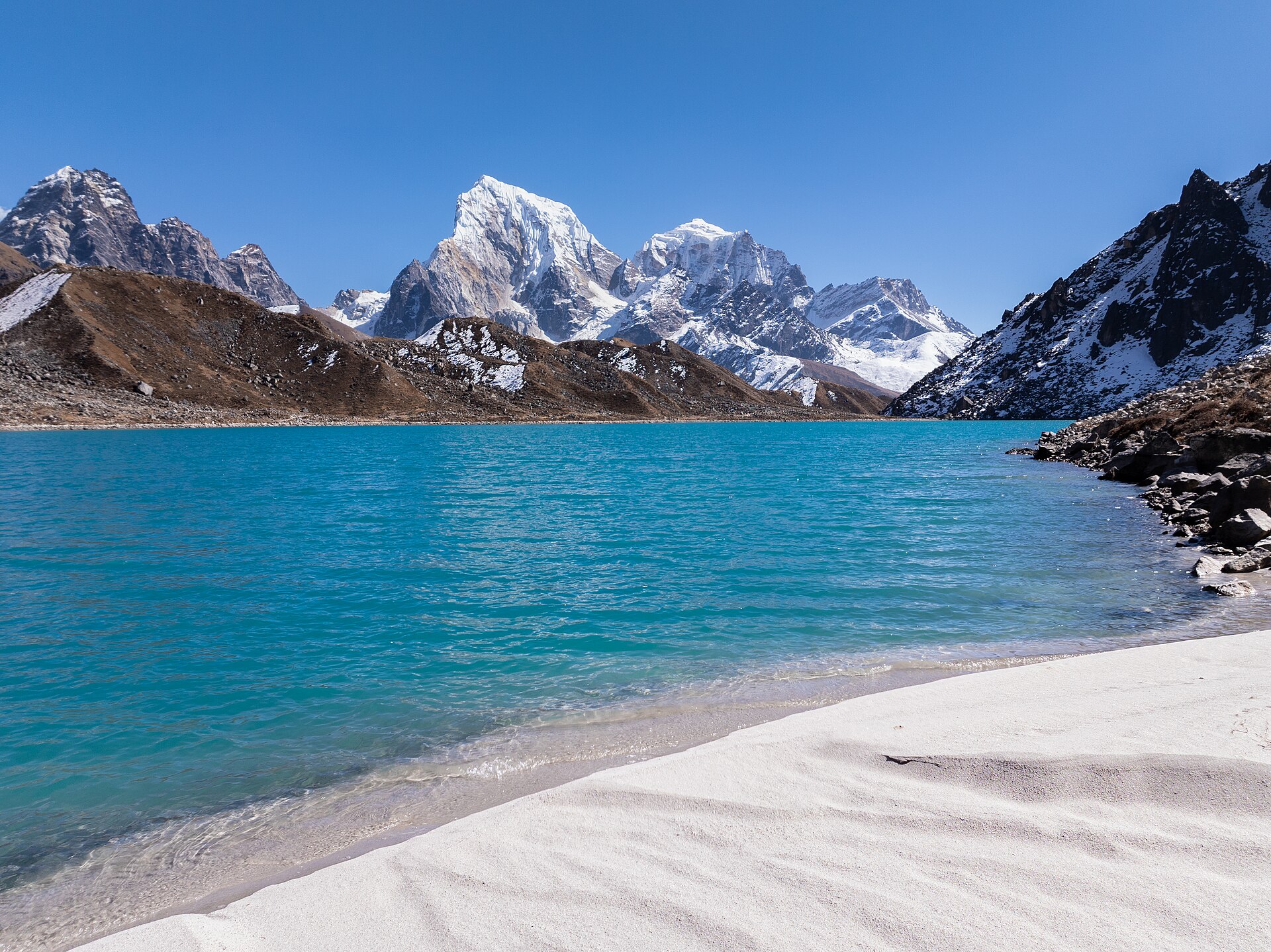
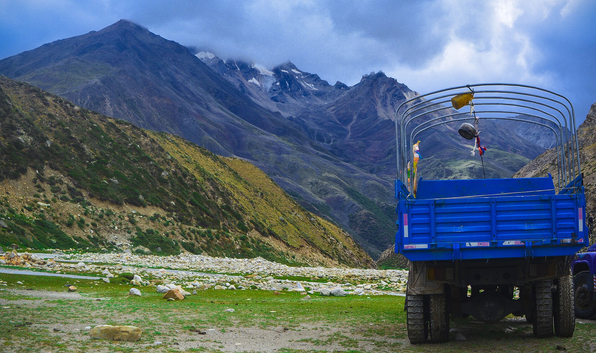
Lower Dolpo - photo 3

Reviews

What travelers say.

No reviews yet - be the first to share how it went.

Share your experience

Your best trek shot

Reviews are read before they go live, so it may take a little while to appear.

Walk this route

Lower Dolpo, 15 days - shaped around you.

Permits, flights, crew and every cup of tea along the way, handled by Abishek Sherpa. Tell us your dates and we'll send a full quote within a day.