Sherpa Treks NepalSherpa Treks

Manaslu Conservation Area · 28.55° N · 84.56° E

Manaslu Circuit

The great circuit around the world's eighth highest mountain - a restricted-area trail through Tibetan-influenced villages, culminating in the long, unforgettable crossing of the Larkya La.

restrictedculturalclassic13 days5,106 mChallenging
Begin the ascent

Day 01 · Travel · 930 m

Drive to Machha Khola

A long, scenic drive from Kathmandu along the Budhi Gandaki river to the trailhead.

  • O₂ 89% of sea level
  • Day 1 of 13
Drive to Machha Khola - 930 m
Drive to Machha Khola

Day 02 · Trek · 1,340 m

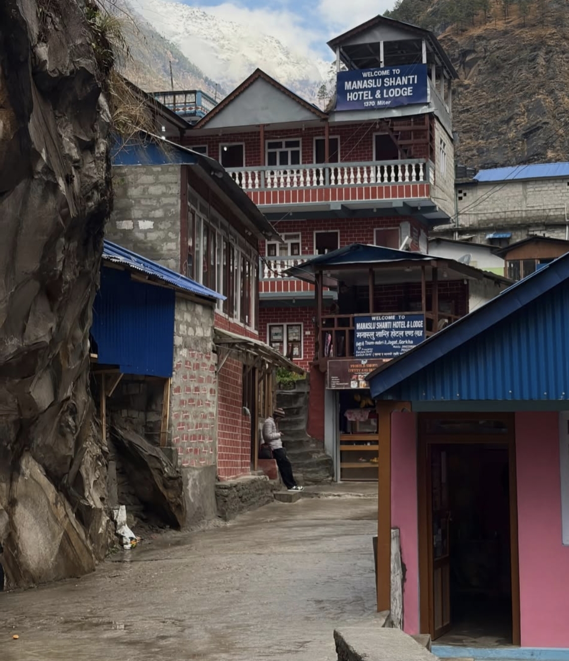
Machha Khola to Jagat

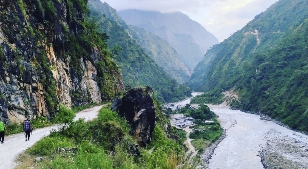
Enter the restricted Manaslu Conservation Area, following the gorge past waterfalls and hot springs.
  • +410 m gained today
  • O₂ 85% of sea level
  • Day 2 of 13
Machha Khola to Jagat - 1,340 m
Machha Khola to Jagat

Day 03 · Trek · 1,860 m

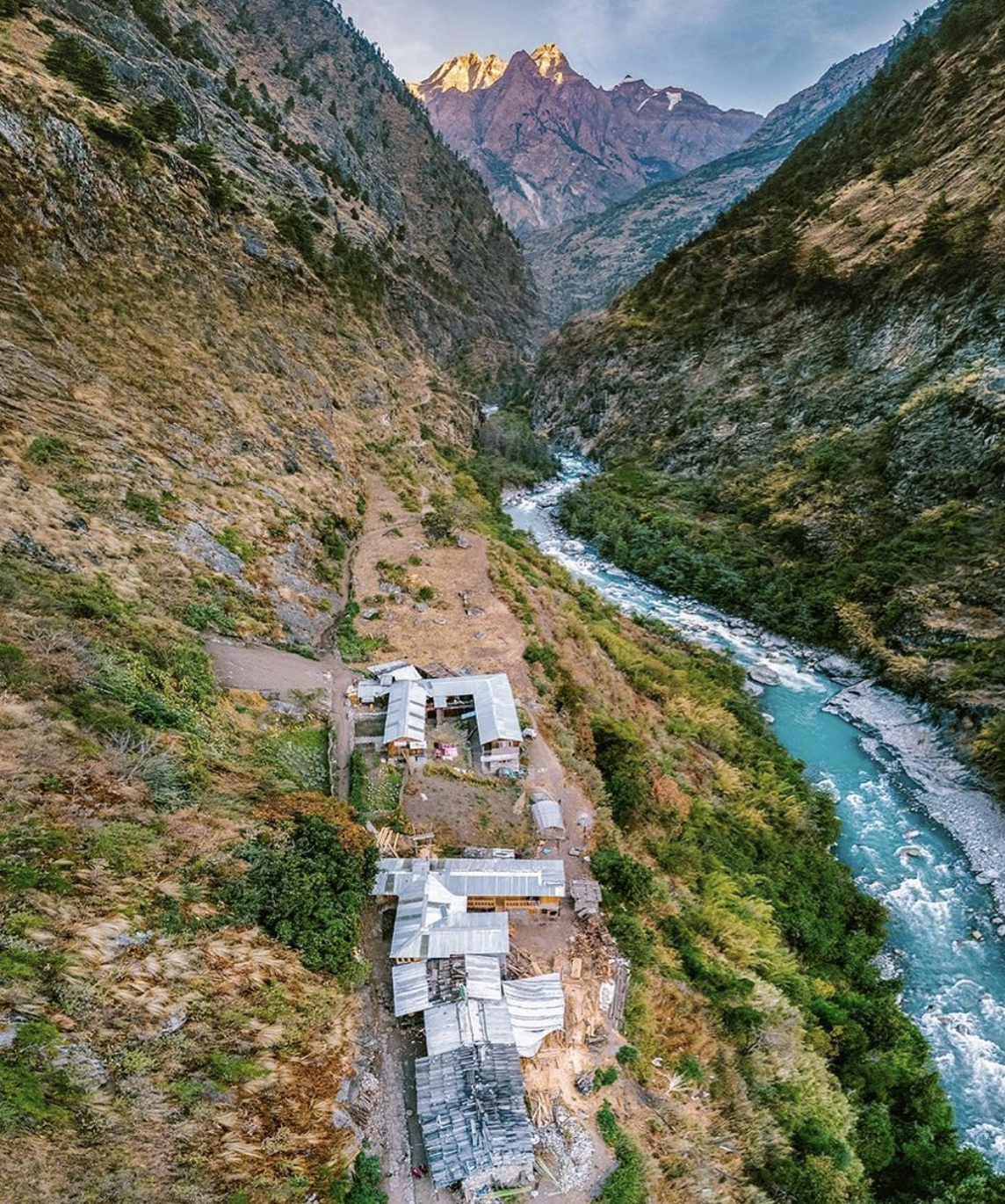
Jagat to Deng

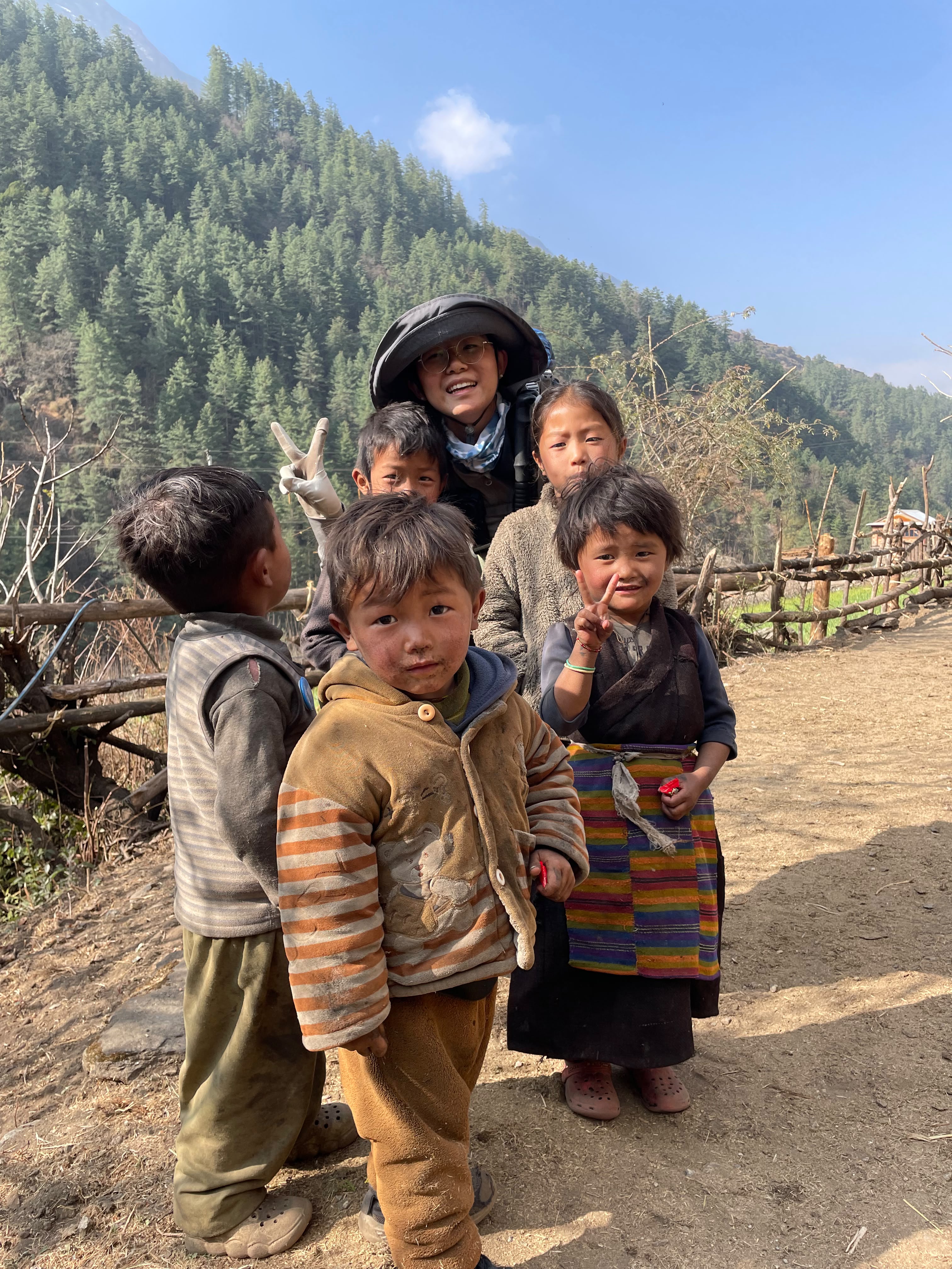
The valley narrows and the culture shifts - mani walls and prayer wheels mark the way.
  • +520 m gained today
  • O₂ 80% of sea level
  • Day 3 of 13
Jagat to Deng - 1,860 m
Jagat to Deng

Day 04 · Trek · 2,630 m

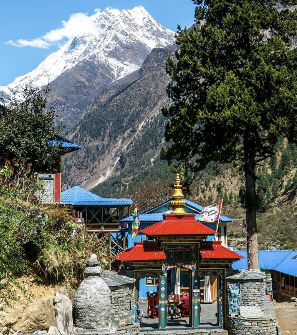
Deng to Namrung

Climb through fir forest as the first views of Manaslu appear up the valley.
  • +770 m gained today
  • O₂ 73% of sea level
  • Day 4 of 13
Deng to Namrung - 2,630 m
Deng to Namrung

Day 05 · Trek · 3,530 m

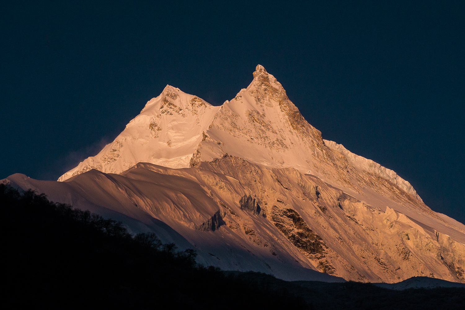
Namrung to Samagaon

Pass Lho's ribbon monastery and walk straight into the amphitheater of Manaslu's east face.
  • +900 m gained today
  • O₂ 65% of sea level
  • Day 5 of 13
Namrung to Samagaon - 3,530 m
Namrung to Samagaon

Day 06 · Acclimatization · 3,530 m

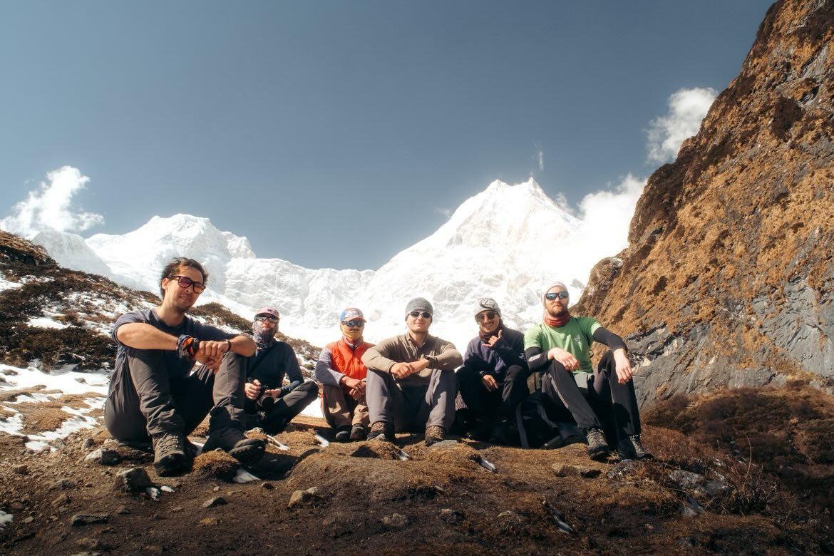
Acclimatization in Samagaon

Hike toward Pungyen Gompa or Manaslu Base Camp, then rest in one of the Khumbu's most beautiful villages.
  • O₂ 65% of sea level
  • Day 6 of 13
Acclimatization in Samagaon - 3,530 m
Acclimatization in Samagaon

Day 07 · Trek · 3,860 m

Samagaon to Samdo

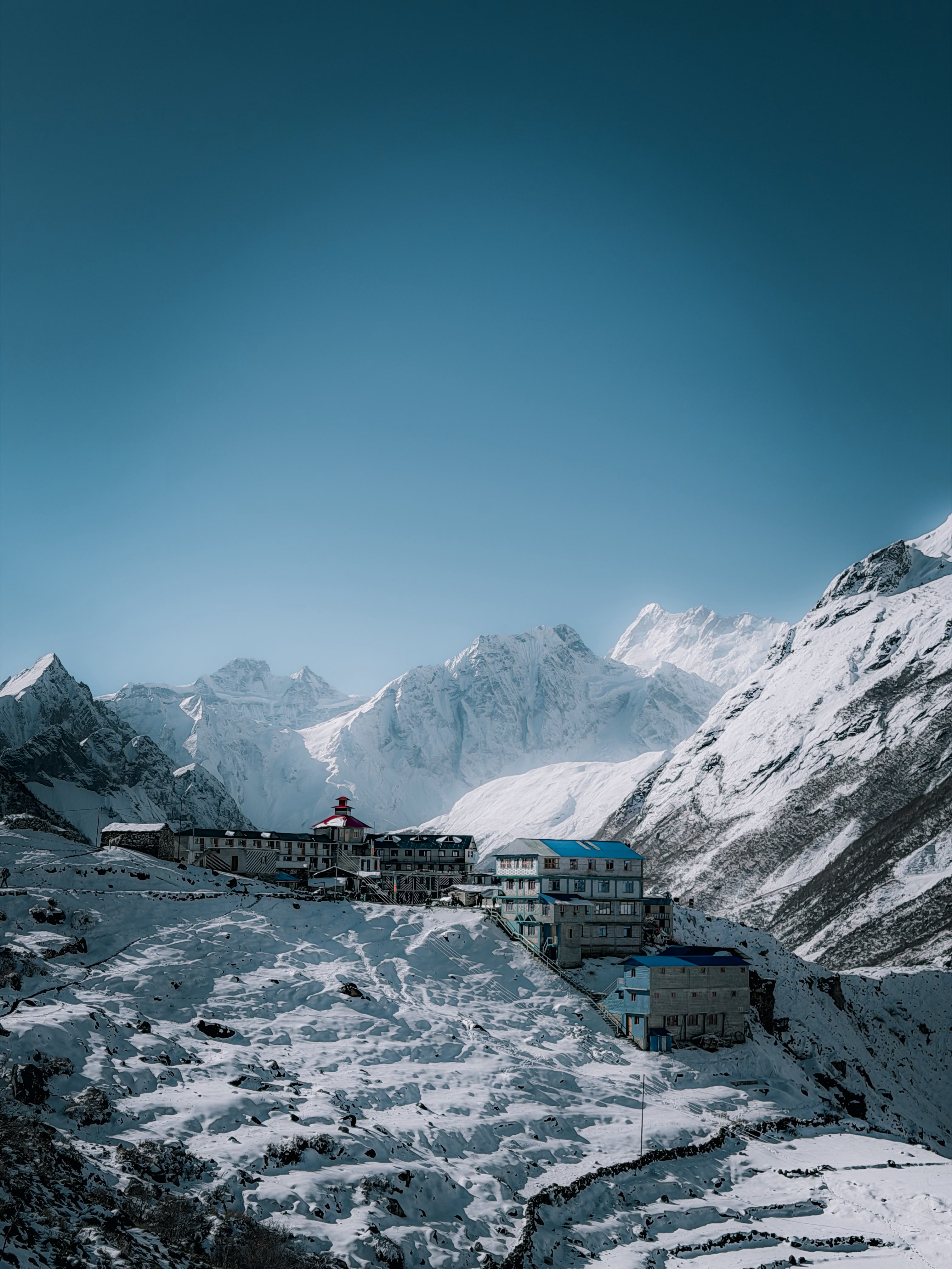
A short walk to the last village before the pass, a Tibetan refugee settlement of yak herders.
  • +330 m gained today
  • O₂ 62% of sea level
  • Day 7 of 13
Samagaon to Samdo - 3,860 m
Samagaon to Samdo

Day 08 · Acclimatization · 3,860 m

Acclimatization in Samdo

Day hike toward the Tibetan border for big views and better acclimatization.

  • O₂ 62% of sea level
  • Day 8 of 13
Acclimatization in Samdo - 3,860 m
Acclimatization in Samdo

Day 09 · Trek · 4,460 m

Samdo to Dharamsala

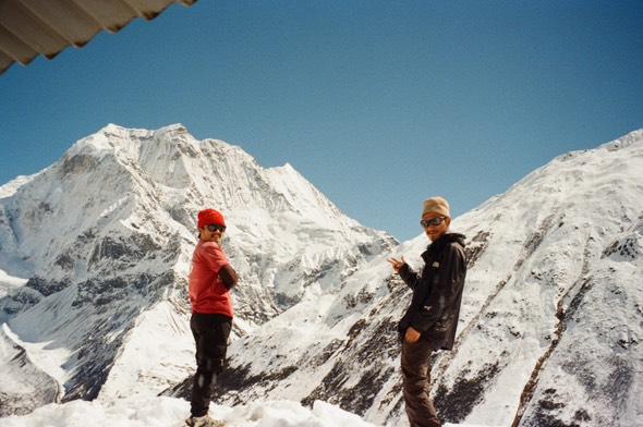
Climb to the stone shelters of Larkya Phedi beneath the glacier. Early night - tomorrow is the big one.
  • +600 m gained today
  • O₂ 57% of sea level
  • Day 9 of 13
Samdo to Dharamsala - 4,460 m
Samdo to Dharamsala

Day 10 · High point · 3,720 m

Cross the Larkya La to Bimthang

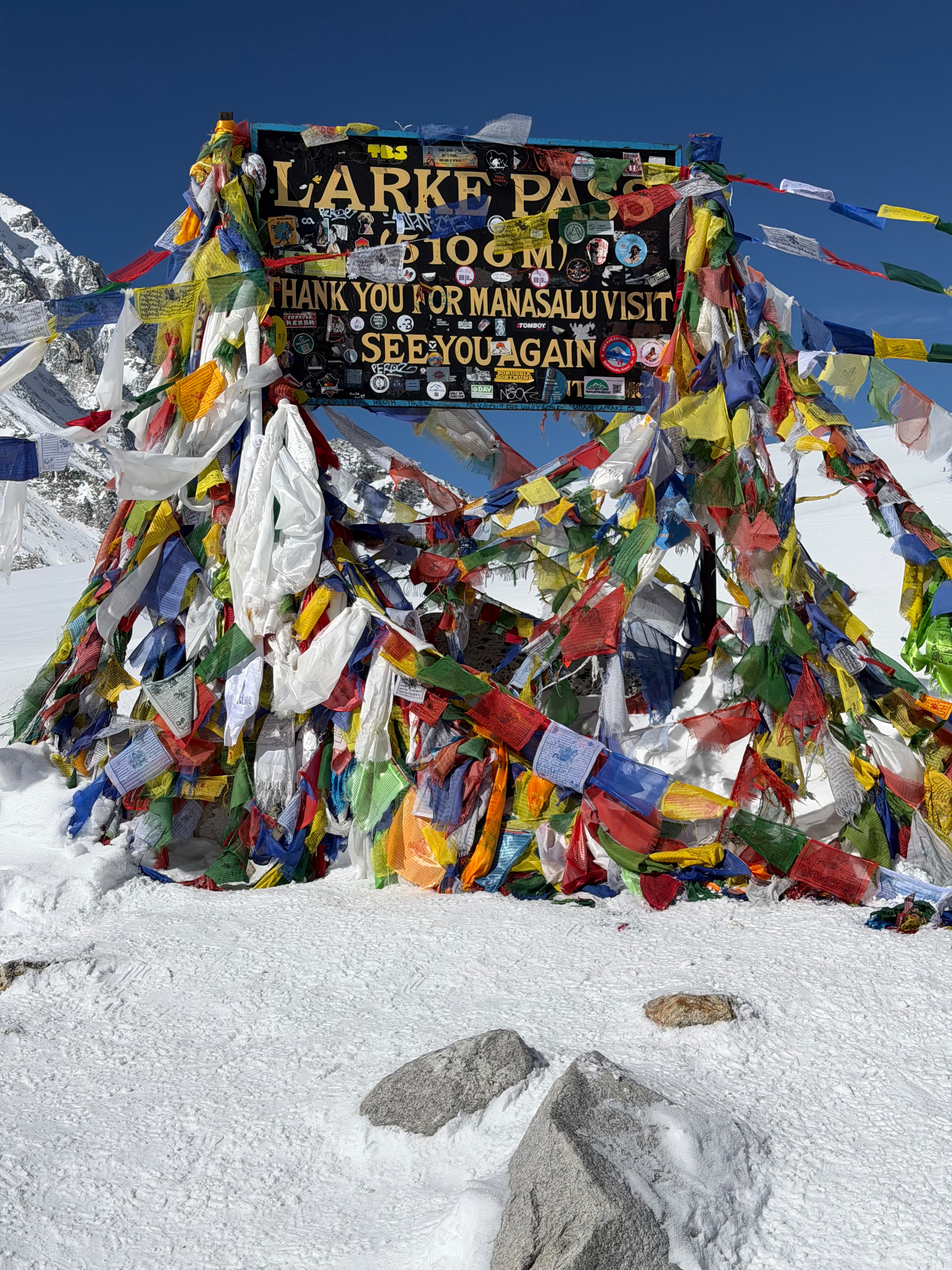
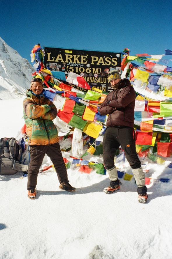
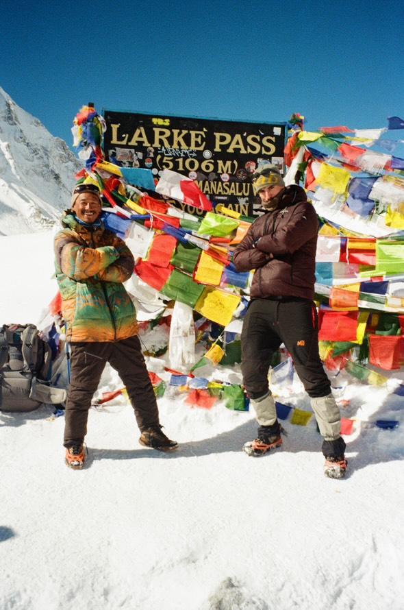
Start before dawn for the long climb to the prayer-flagged pass (5,106m), with Himlung, Cheo and Annapurna II spread before you - then descend to green Bimthang.
  • O₂ 63% of sea level
  • Day 10 of 13
Cross the Larkya La to Bimthang - 3,720 m
Cross the Larkya La to Bimthang

Day 11 · Trek · 2,300 m

Bimthang to Tilije

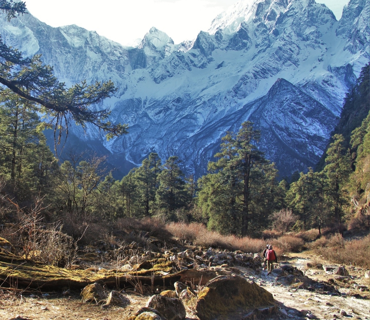
Drop through rhododendron and pine back into the world of trees and warmth.
  • O₂ 76% of sea level
  • Day 11 of 13
Bimthang to Tilije - 2,300 m
Bimthang to Tilije

Day 12 · Trek · 760 m

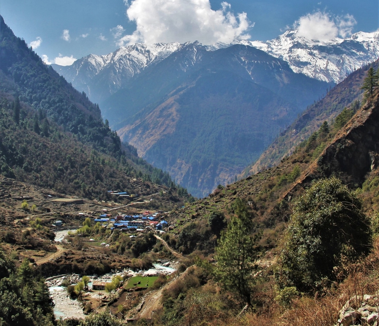
Tilije to Dharapani, drive to Besisahar

Join the Annapurna Circuit trail briefly, then jeep down the Marsyangdi valley.
  • O₂ 91% of sea level
  • Day 12 of 13
Tilije to Dharapani, drive to Besisahar - 760 m
Tilije to Dharapani, drive to Besisahar

Day 13 · Travel · 1,400 m

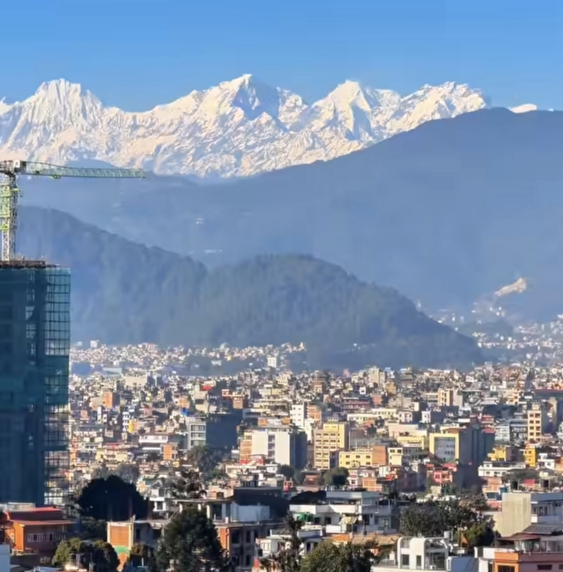
Drive to Kathmandu

Return to the capital with legs that have circled an eight-thousander.
  • +640 m gained today
  • O₂ 84% of sea level
  • Day 13 of 13
Drive to Kathmandu - 1,400 m
Drive to Kathmandu

Photos: Wikimedia Commons contributors · CC BY-SA

Elevation

How the days climb.

Hover the profile to see each day - conservative ascent, acclimatization built in.

0m1,667m3,333m5,000mD1D3D5D7D9D11D134,460 m

The ledger

The climb, in numbers.

Everything about this route, derived from the itinerary - from the metres you gain to the oxygen you'll be breathing at the top.

13Days on the trail
4,460 mHigh point
4,170 mTotal climb
ChallengingDifficulty
2–8Group size
Mar–May · Sep–NovBest season
57%Oxygen at the top
Day 9High-point day

Thinner air, day by day.

Oxygen falls with altitude. You start at 91% of sea level and finish at 57% at the high point - which is why every ascent profile here is conservative, with rest days built in.

  • Best trekked Mar–May
  • Best trekked Sep–Nov
TrekAcclimatizationTravelHigh point

Scenes

What a Manaslu Conservation Area day looks like.

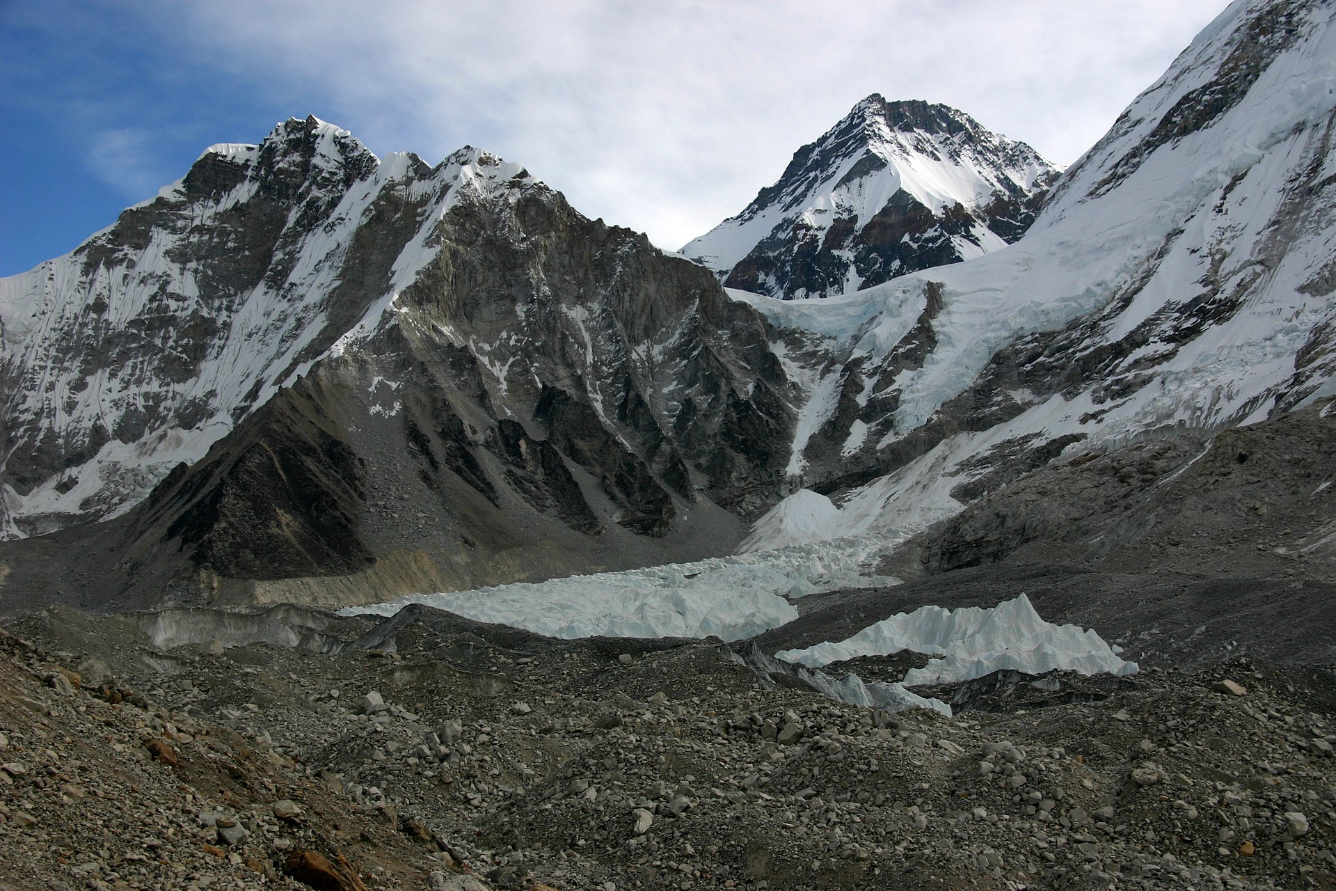
Manaslu Circuit - photo 1
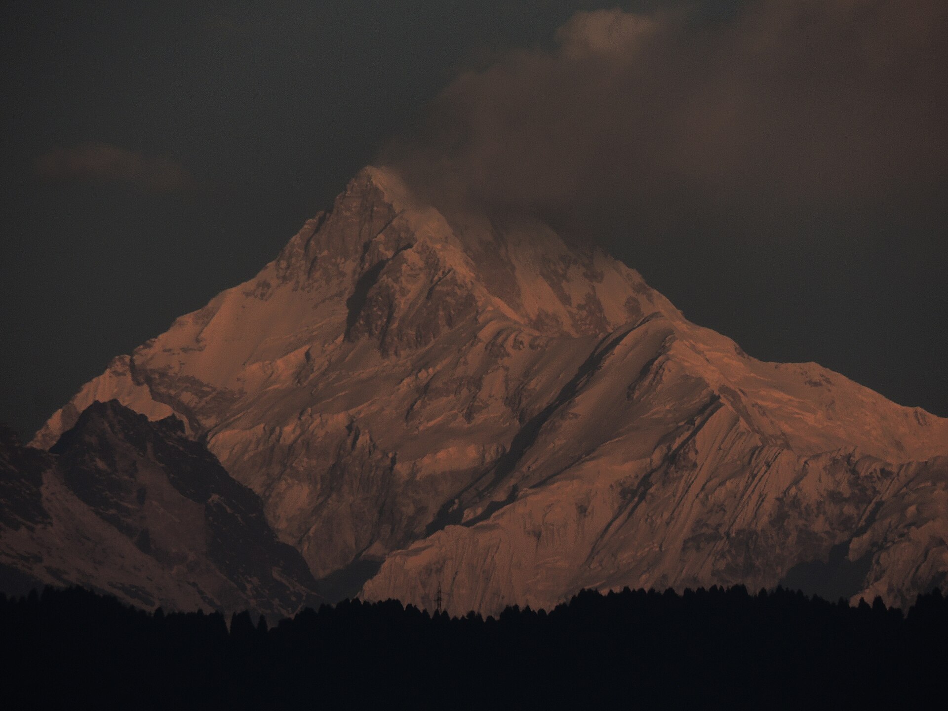
Manaslu Circuit - photo 2
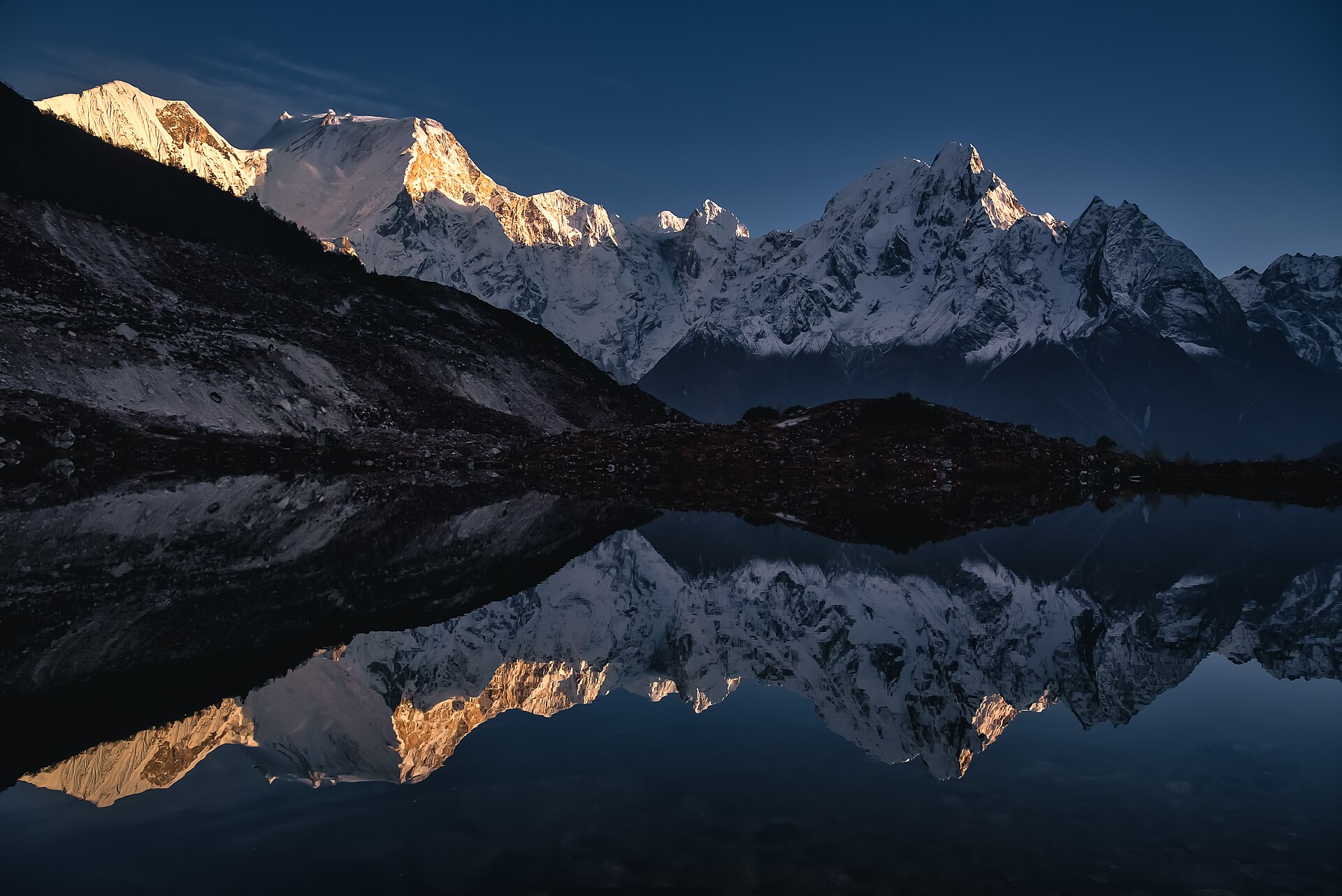
Manaslu Circuit - photo 3

Reviews

What travelers say.

Manaslu Circuit reviewManaslu Circuit

Far quieter than EBC and just as stunning. Larkya La pass crossing was the highlight of my year. Sherpa Travell handled every permit without a hitch.

?

Verified traveler

Share your experience

Your best trek shot

Reviews are read before they go live, so it may take a little while to appear.

Walk this route

Manaslu Circuit, 13 days - shaped around you.

Permits, flights, crew and every cup of tea along the way, handled by Abishek Sherpa. Tell us your dates and we'll send a full quote within a day.