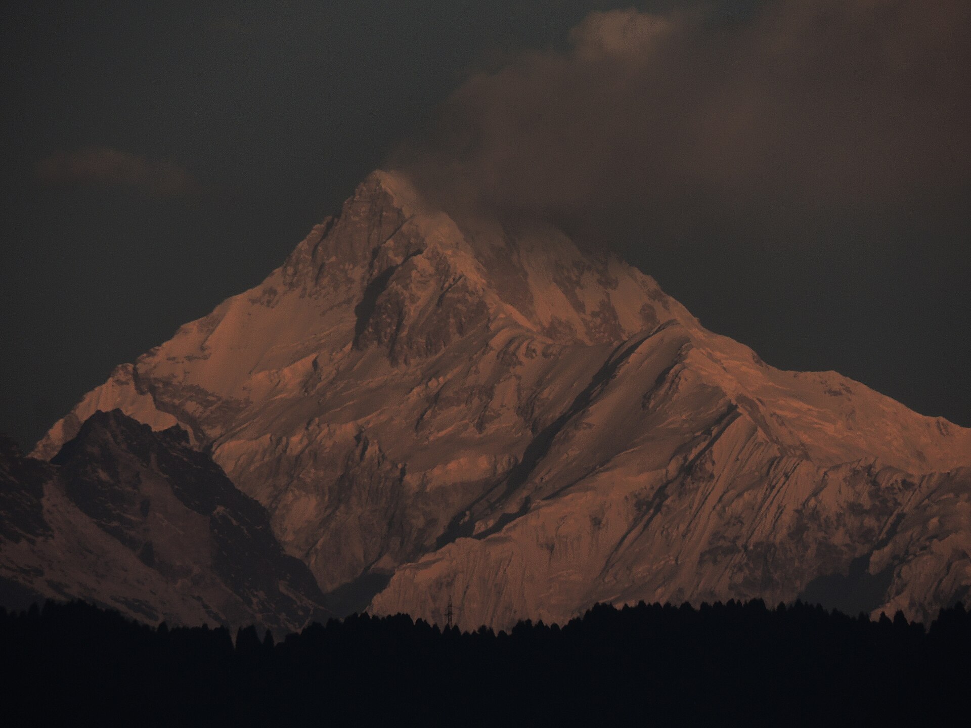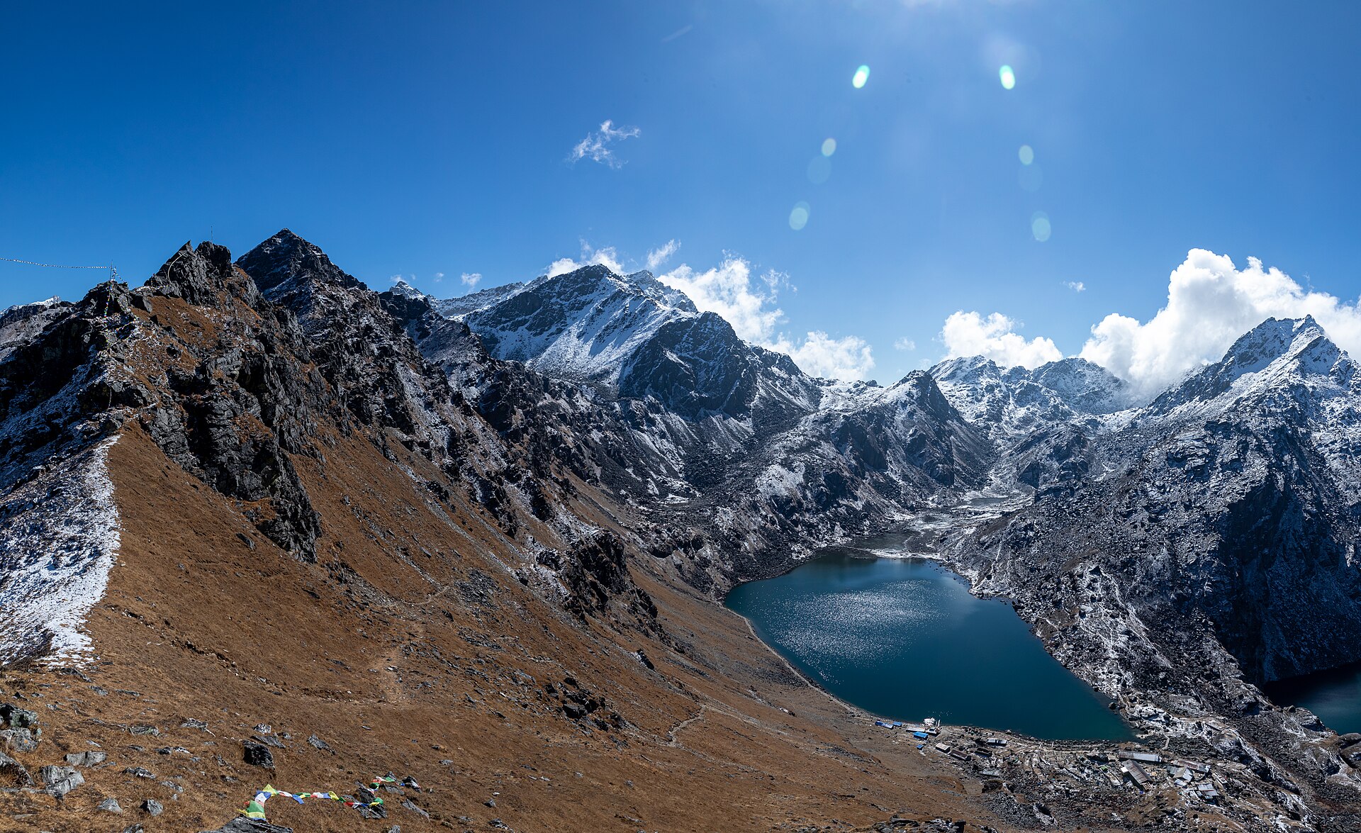
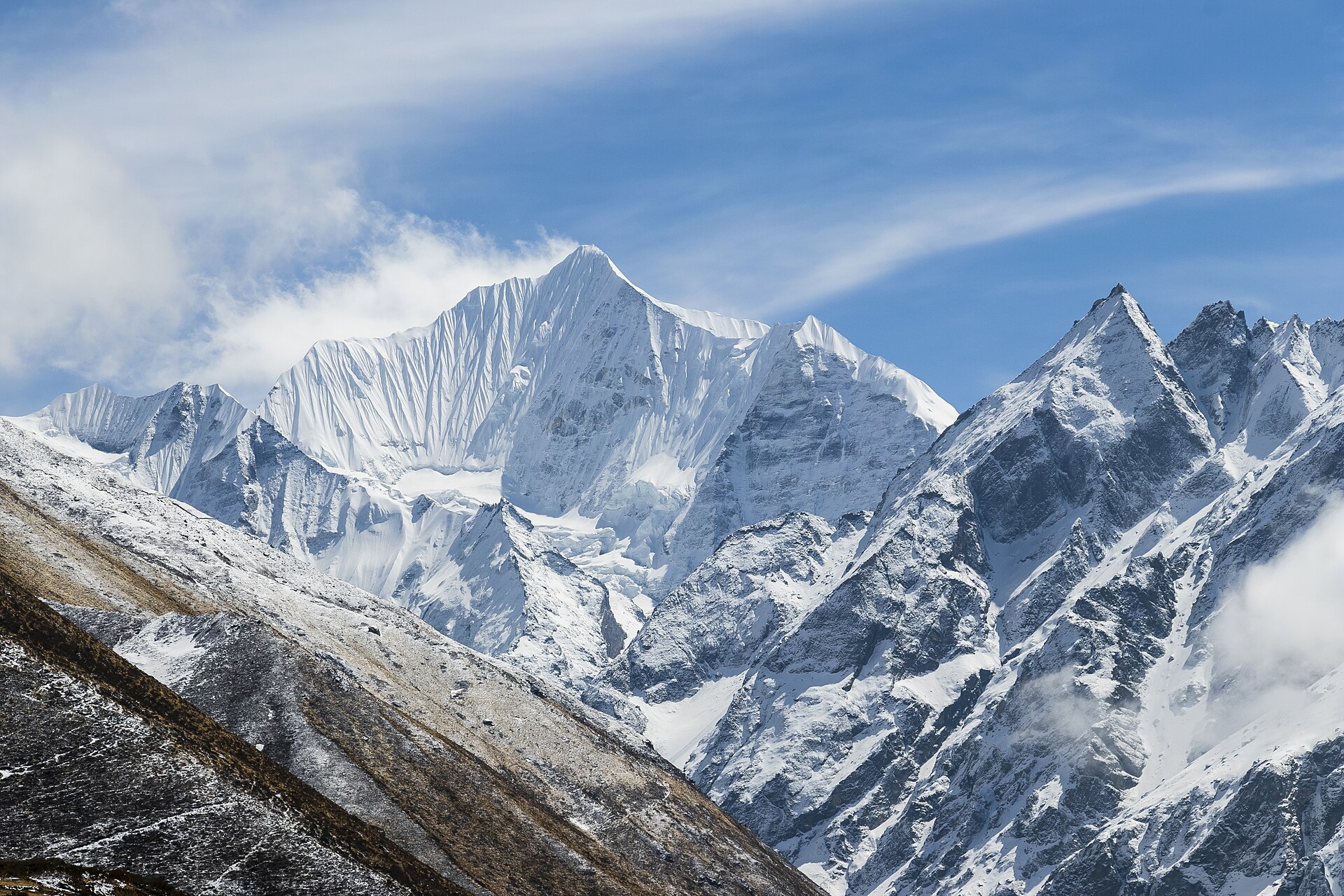
Day 01 · Travel · 1,550 m
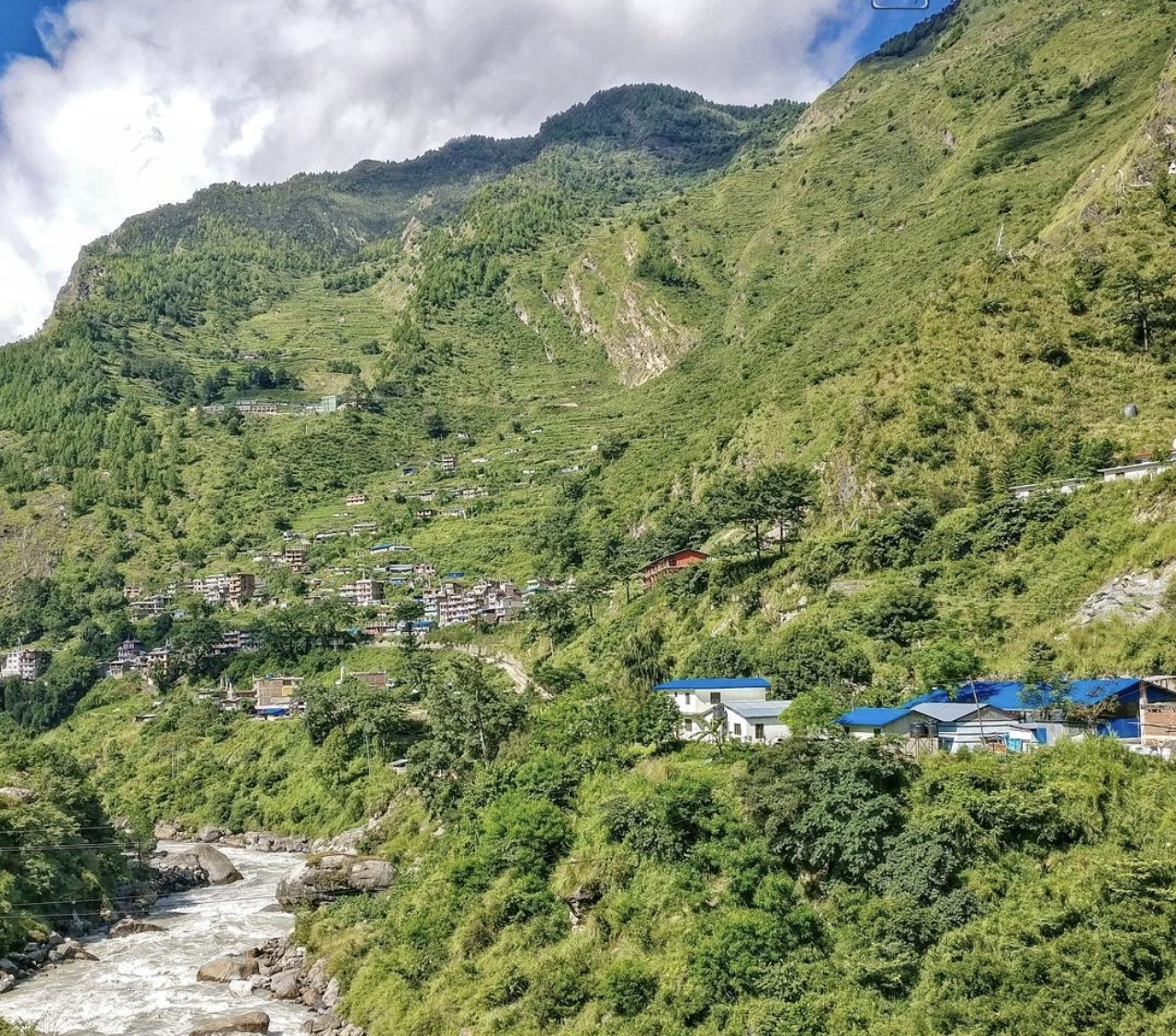
Drive to Syabrubesi
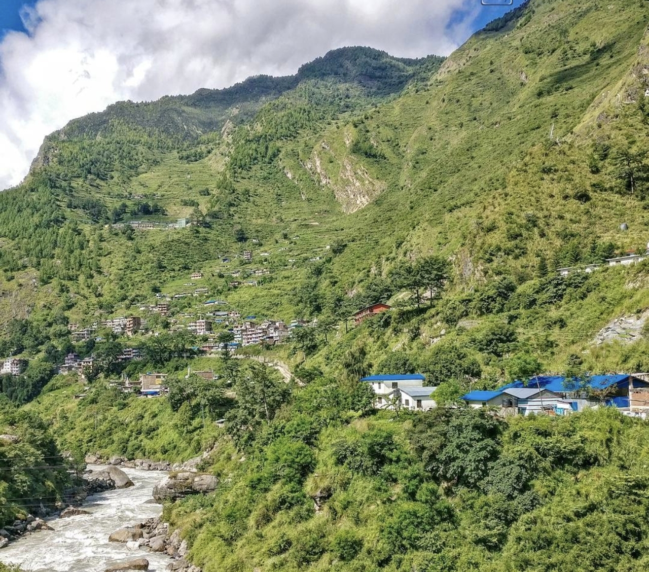
Wind up the Trishuli valley to the trailhead at the Langtang river.
- O₂ 83% of sea level
- Day 1 of 8
Langtang National Park · 28.17° N · 85.34° E
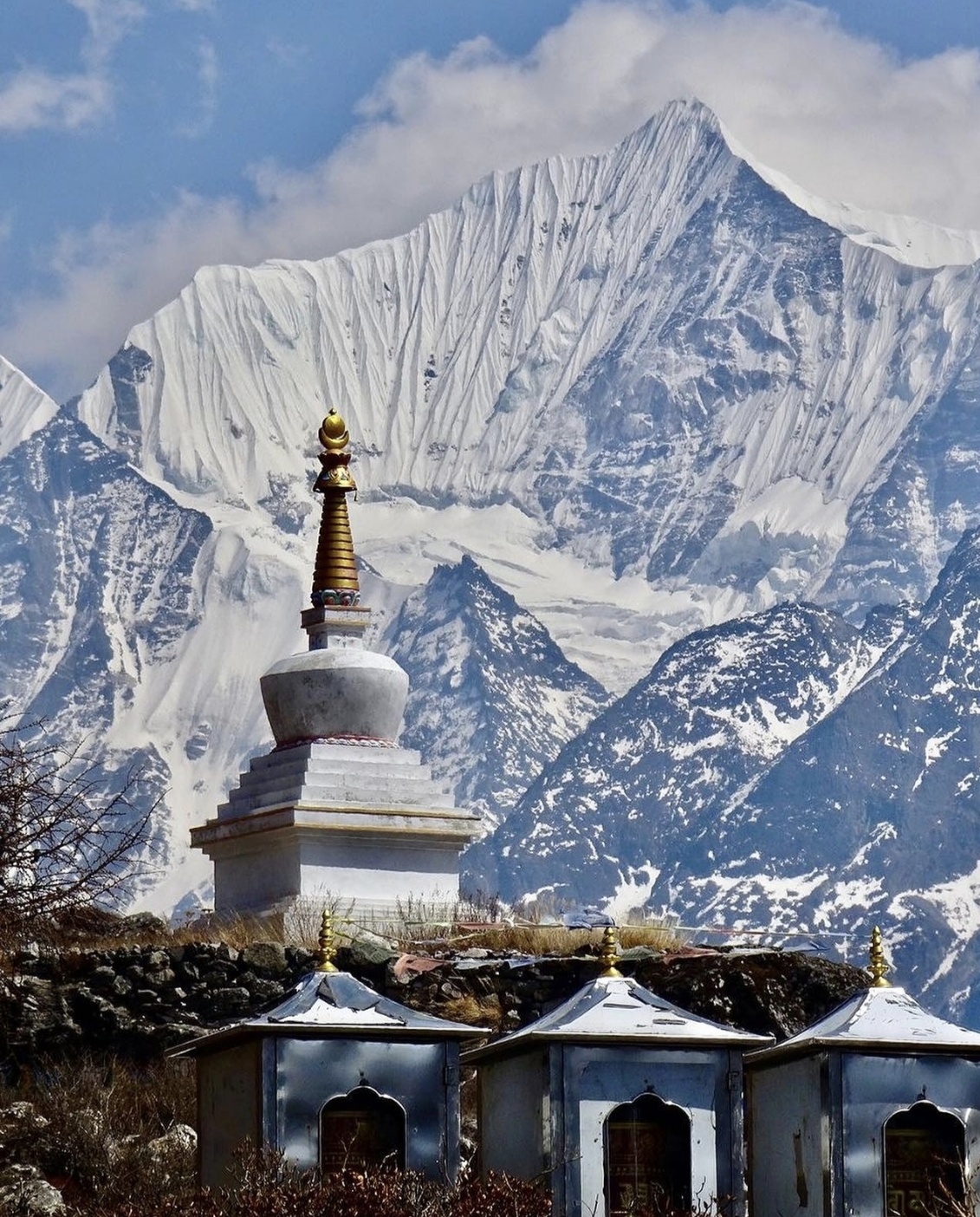
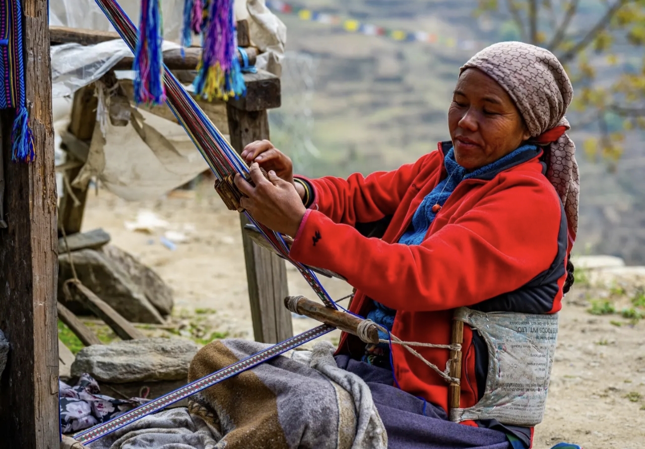
The valley of glaciers - a week-long walk from subtropical forest to a wide alpine bowl ringed by 7,000m peaks, home to Tamang villages, yak cheese factories and some of Nepal's warmest teahouses.
Day 01 · Travel · 1,550 m
Wind up the Trishuli valley to the trailhead at the Langtang river.
Day 02 · Trek · 2,470 m
Climb through oak and bamboo forest - keep an eye out for red pandas and langur monkeys.
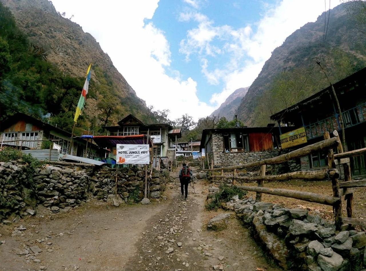
Day 03 · Trek · 3,430 m
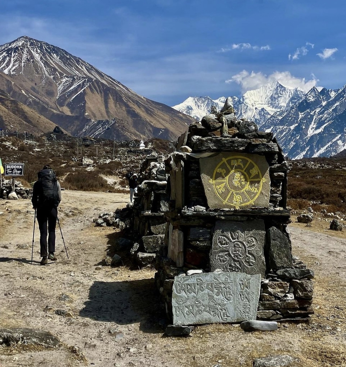
The forest opens into the glacial valley; pass mani walls and water-driven prayer wheels.
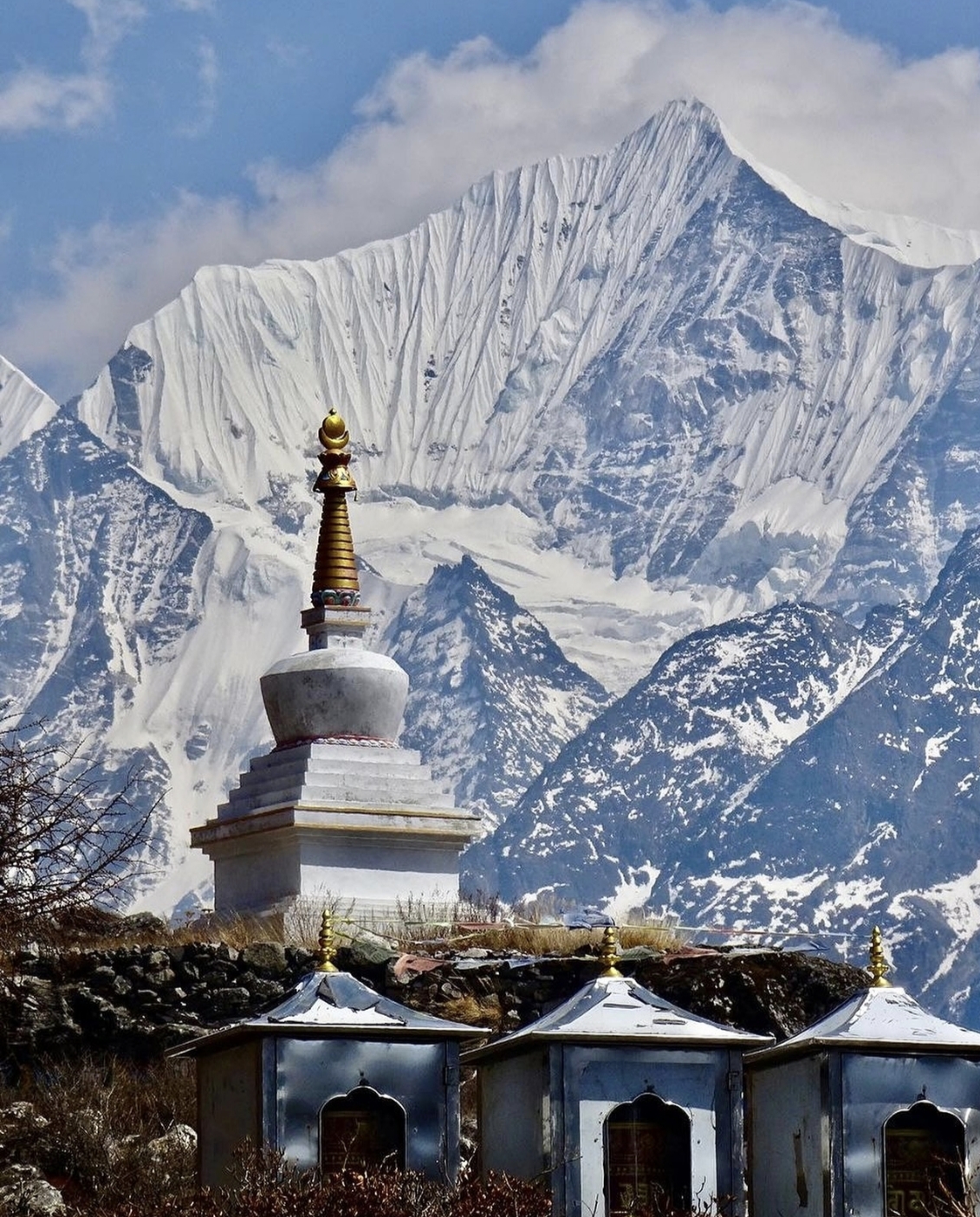
Day 04 · Trek · 3,870 m
A short, spectacular morning beneath Langtang Lirung to the valley's highest village.
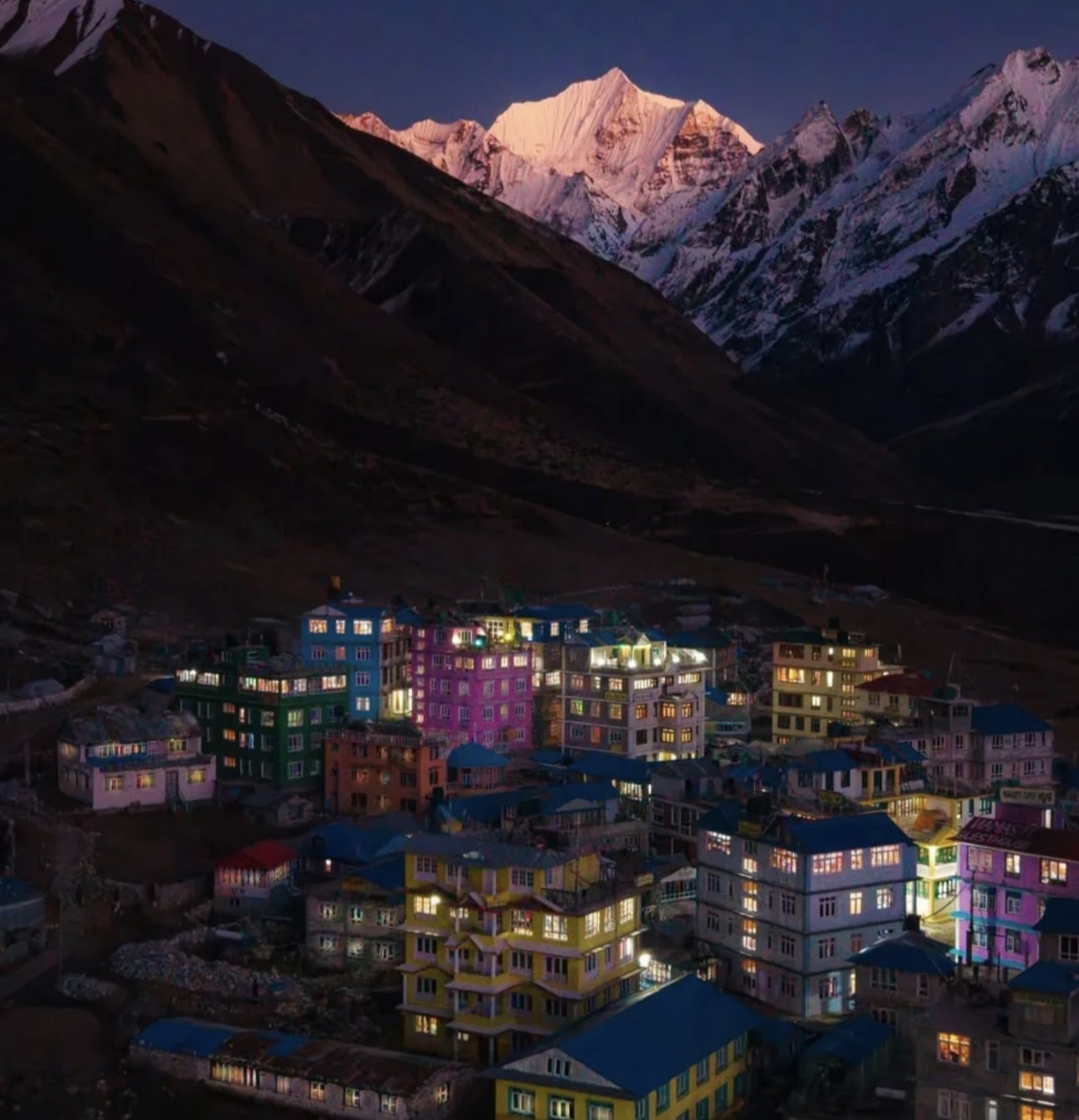
Day 05 · High point · 3,870 m
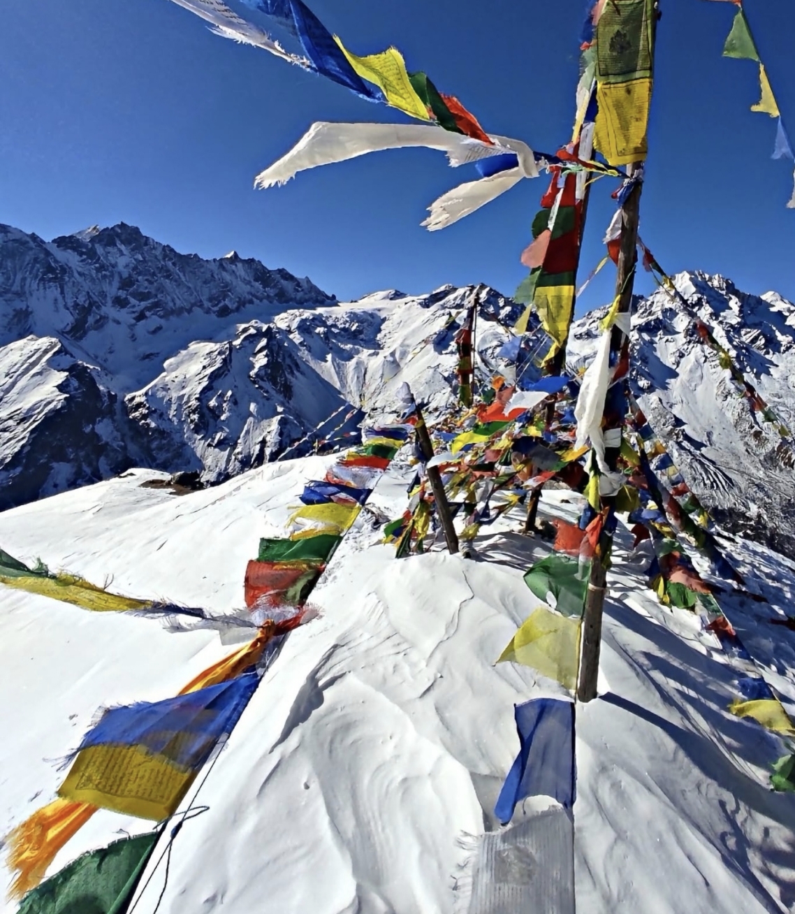
A dawn ascent of Tserko Ri (4,984m) - Langtang Lirung, Dorje Lakpa and Shishapangma in Tibet fill the horizon.
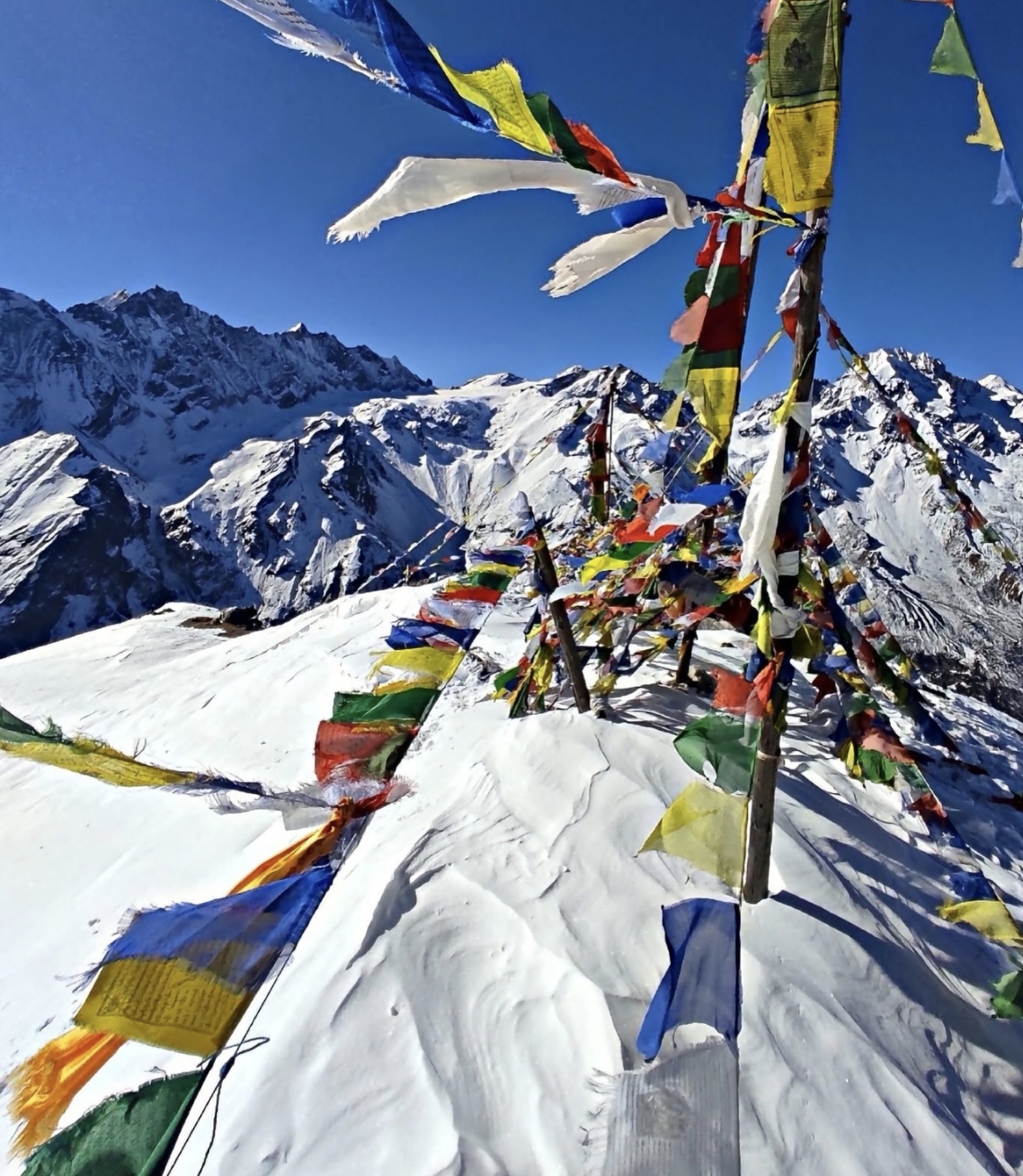
Day 06 · Trek · 2,470 m
A long, easy descent back into the forest.
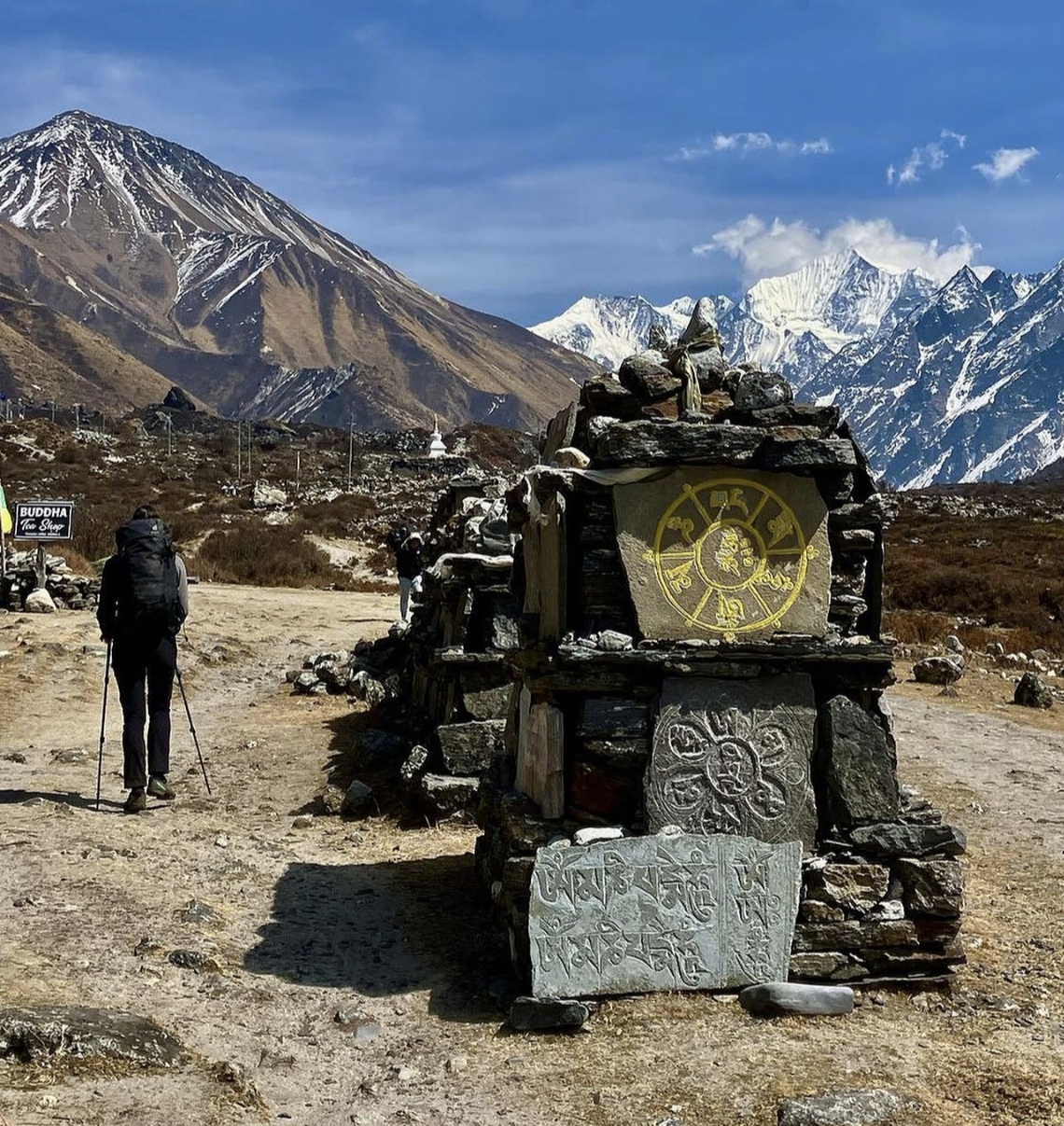
Day 07 · Trek · 1,550 m
Final walk down the valley and a farewell evening with your crew.
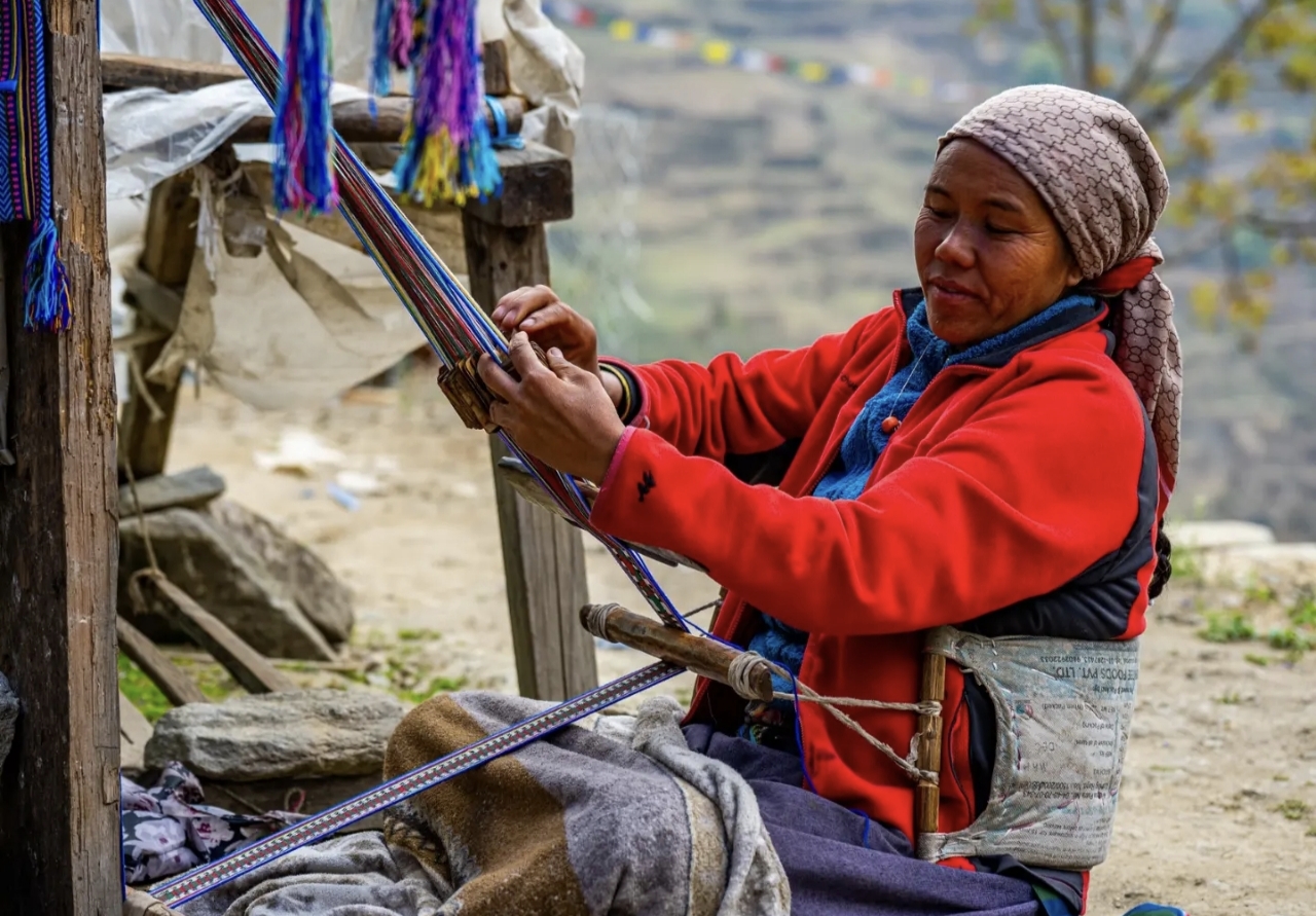
Day 08 · Travel · 1,400 m
Return to the capital by jeep.
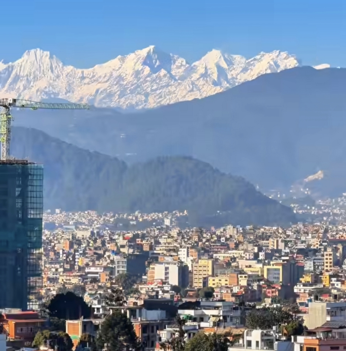
Photos: Wikimedia Commons contributors · CC BY-SA
Elevation
Hover the profile to see each day - conservative ascent, acclimatization built in.
The ledger
Everything about this route, derived from the itinerary - from the metres you gain to the oxygen you'll be breathing at the top.
Oxygen falls with altitude. You start at 84% of sea level and finish at 62% at the high point - which is why every ascent profile here is conservative, with rest days built in.
Scenes
Reviews
No reviews yet - be the first to share how it went.
Walk this route
Permits, flights, crew and every cup of tea along the way, handled by Abishek Sherpa. Tell us your dates and we'll send a full quote within a day.