Day 01 · Travel · 150 m
Fly to Nepalgunj
Fly to the western Terai.
- O₂ 98% of sea level
- Day 1 of 17
Limi Valley, Humla · 30.10° N · 81.63° E
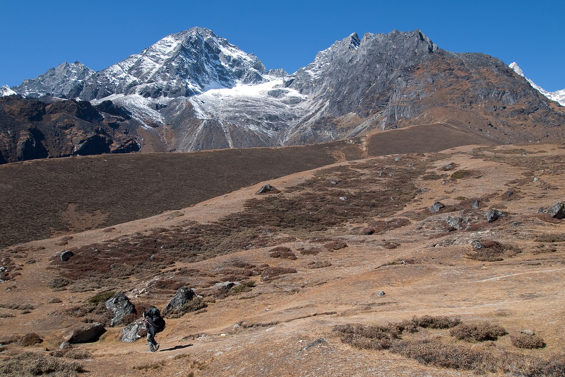
The far northwest - a loop from Simikot to the Tibetan border and through Limi's thousand-year-old villages, where snow leopards outnumber trekkers and the Rinchenling monastery has stood since the 11th century.
Day 01 · Travel · 150 m
Fly to the western Terai.
Day 02 · Travel · 2,300 m
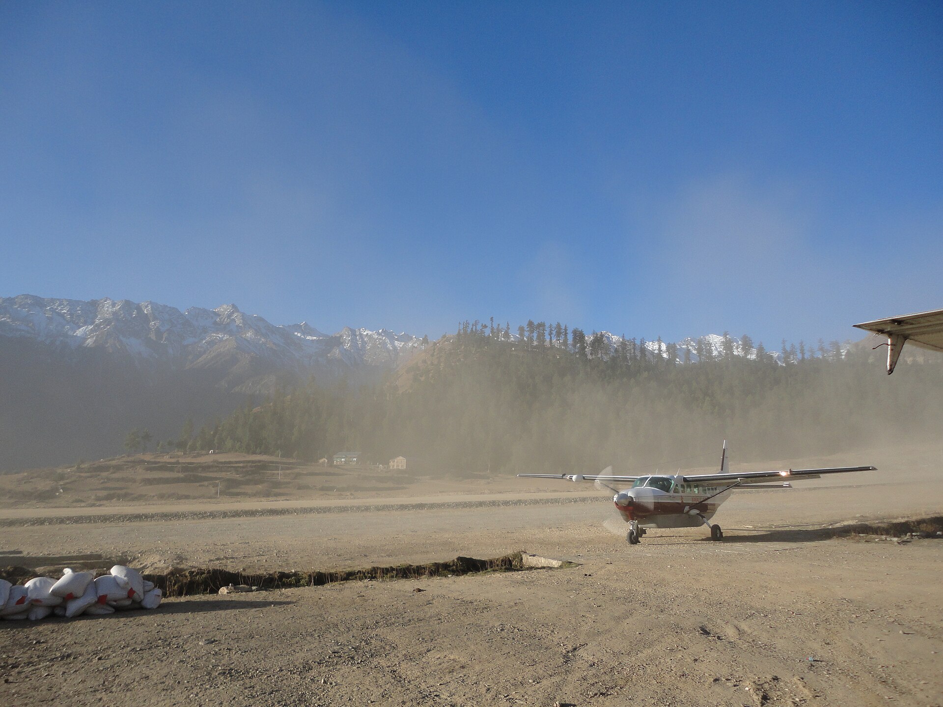
Land on Humla's ridge-top airstrip and begin walking through pine forest.
Day 03 · Trek · 2,870 m
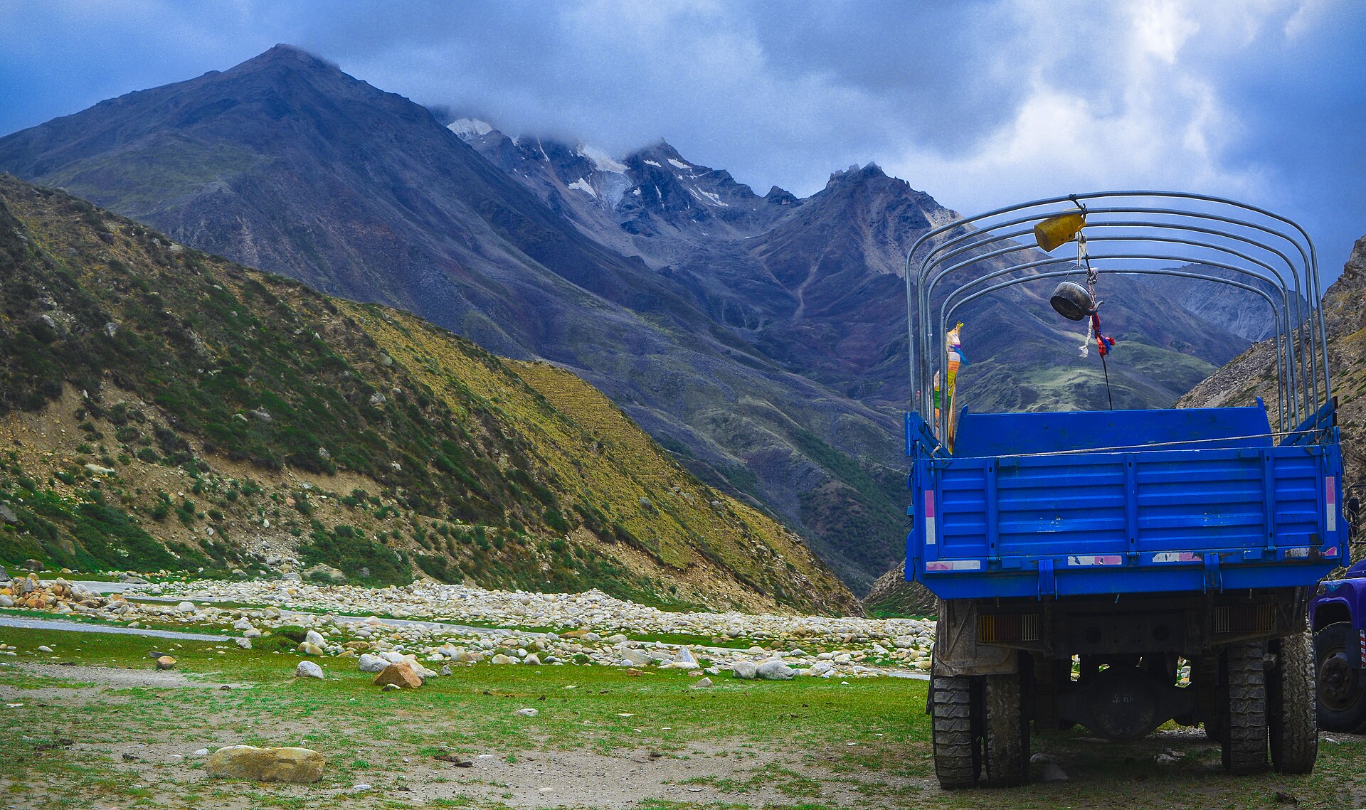
Follow the Karnali gorge to Kermi - soak in the hot springs beside the river.
Day 04 · Trek · 3,020 m
Pass barley fields to Yalbang's great Namkha Khyung Dzong monastery.
Day 05 · Trek · 3,380 m
The trail climbs above the river into drier, Tibetan-feeling country.
Day 06 · Trek · 3,700 m
A short climb to the last village before the pass, beneath the Himalaya's western ramparts.
Day 07 · High point · 3,720 m
Over the Nara La (4,620m) and down to Hilsa on the Tibetan border, the Karnali roaring through a cleft in the rock.
Day 08 · Trek · 3,990 m
Turn east into the Limi valley along the ancient salt-trade route.
Day 09 · Trek · 4,000 m
Reach Til, Limi's first village - stone houses, barley fields and glacier views.
Day 10 · Trek · 3,670 m
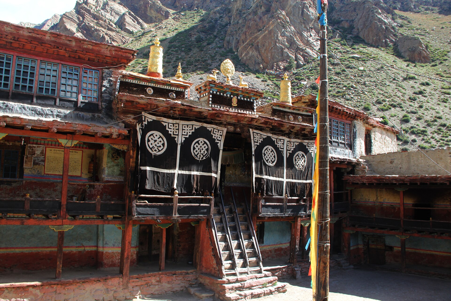
Walk to Halji and the 11th-century Rinchenling Gompa, still lit by butter lamps.
Day 11 · Trek · 3,930 m
Continue to Jang, the highest and remotest of Limi's three villages.
Day 12 · Acclimatization · 3,930 m
Explore the valley - hot springs above Til, hermit caves, and villages unchanged for centuries.
Day 13 · Trek · 4,370 m
Climb to the last camp before the Nyalu La, in true wilderness.
Day 14 · High point · 4,630 m
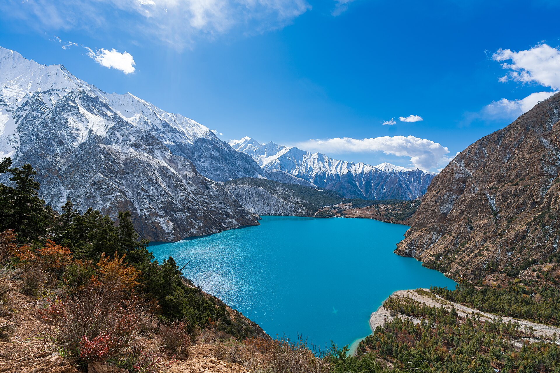
The trek's highest point (4,940m) - a panorama from Api and Saipal to the Tibetan plateau - then camp by the sacred lake.
Day 15 · Trek · 2,870 m
A long descent back to the Karnali - and another soak in the hot springs.
Day 16 · Trek · 2,910 m
Climb back to Simikot for a farewell night above the clouds.
Day 17 · Travel · 1,400 m
Return to the capital from the far edge of Nepal.
Photos: Wikimedia Commons contributors · CC BY-SA
Elevation
Hover the profile to see each day - conservative ascent, acclimatization built in.
The ledger
Everything about this route, derived from the itinerary - from the metres you gain to the oxygen you'll be breathing at the top.
Oxygen falls with altitude. You start at 98% of sea level and finish at 56% at the high point - which is why every ascent profile here is conservative, with rest days built in.
Scenes
Reviews
No reviews yet - be the first to share how it went.
Walk this route
Permits, flights, crew and every cup of tea along the way, handled by Abishek Sherpa. Tell us your dates and we'll send a full quote within a day.