Day 01 · Travel · 2,030 m
Drive to Dhunche
Leave Kathmandu after breakfast and climb to the park headquarters town of Dhunche.
- O₂ 78% of sea level
- Day 1 of 7
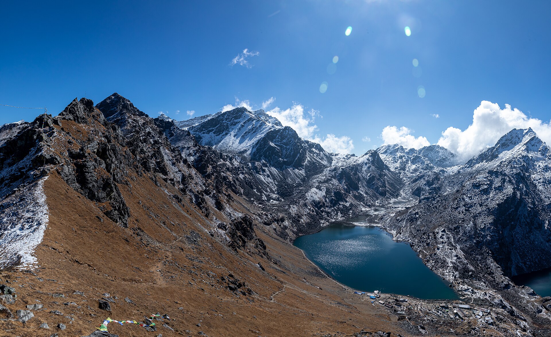
Gosaikunda, Langtang National Park · 28.12° N · 85.29° E
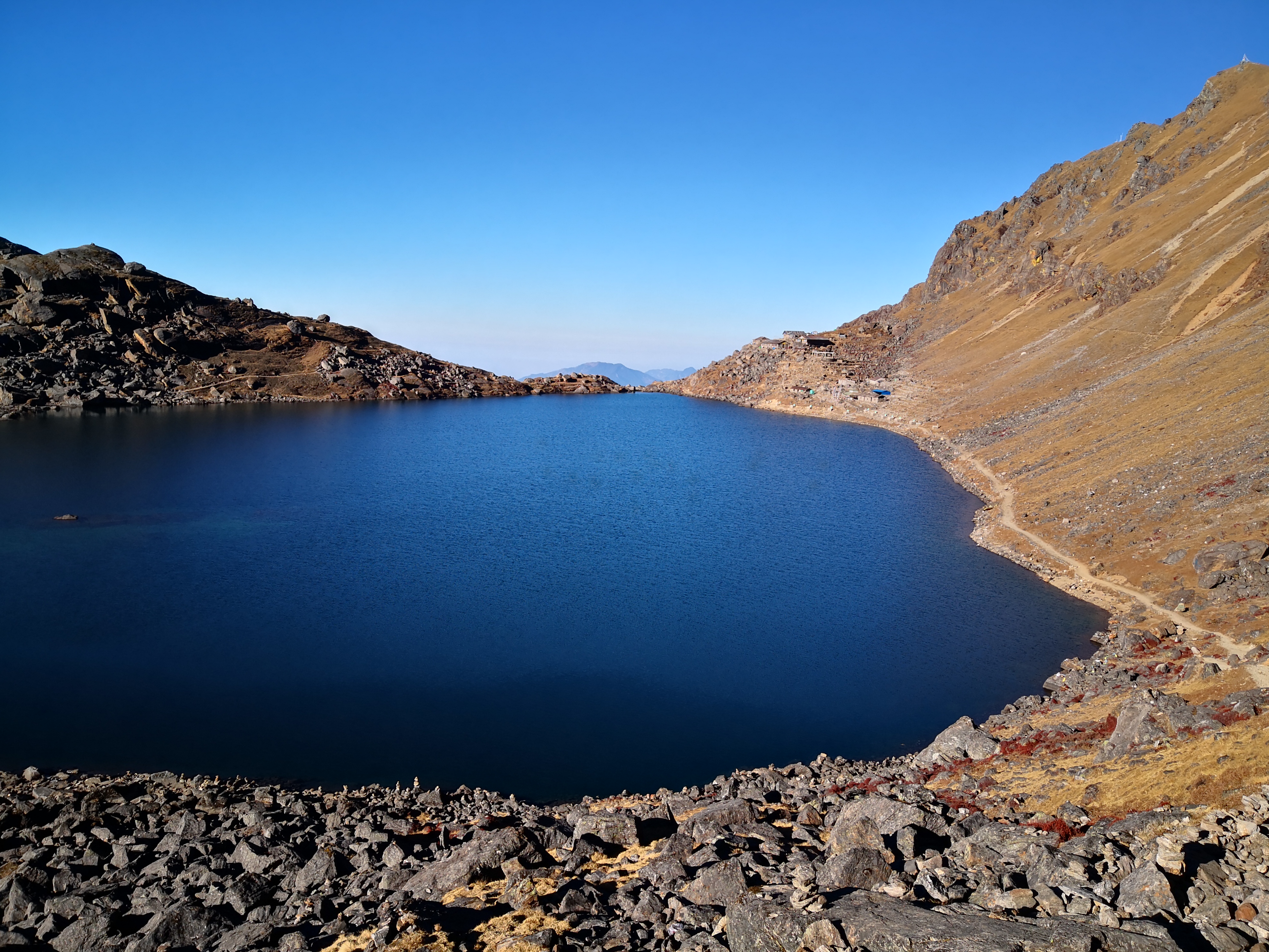
A short, steep pilgrimage to the sacred alpine lakes of Gosaikunda - where Shiva is said to have struck his trident into the rock - then over the Laurebina La into the ridge villages of Helambu.
Day 01 · Travel · 2,030 m
Leave Kathmandu after breakfast and climb to the park headquarters town of Dhunche.
Day 02 · Trek · 3,330 m
A steep, beautiful climb through oak and rhododendron to the little monastery and cheese factory.
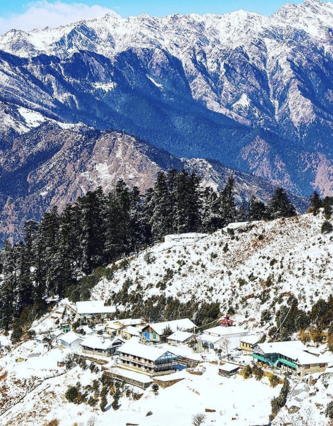
Day 03 · Trek · 4,380 m
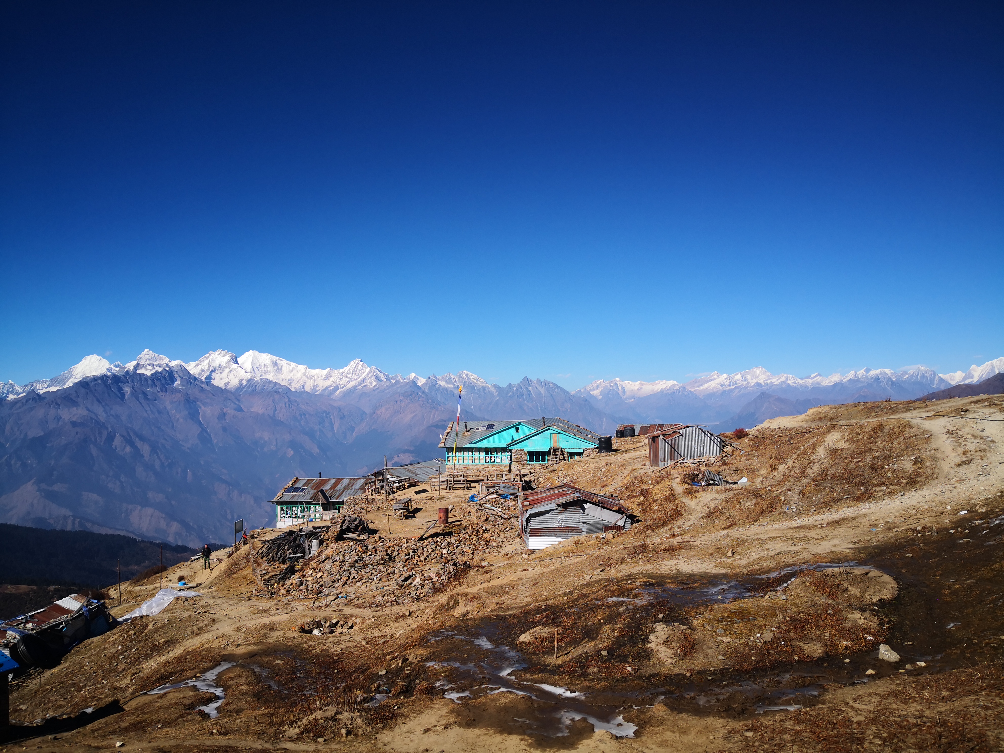
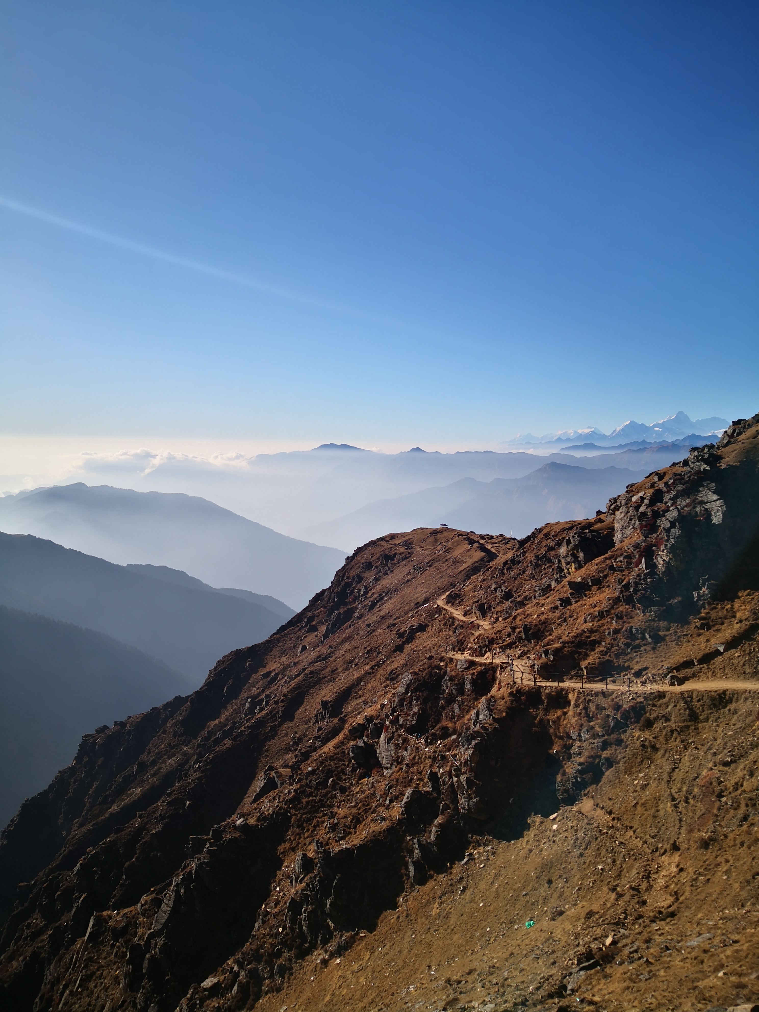
Break above the treeline onto a ridge of stone and sky; the first sacred lakes appear at Saraswati Kunda.
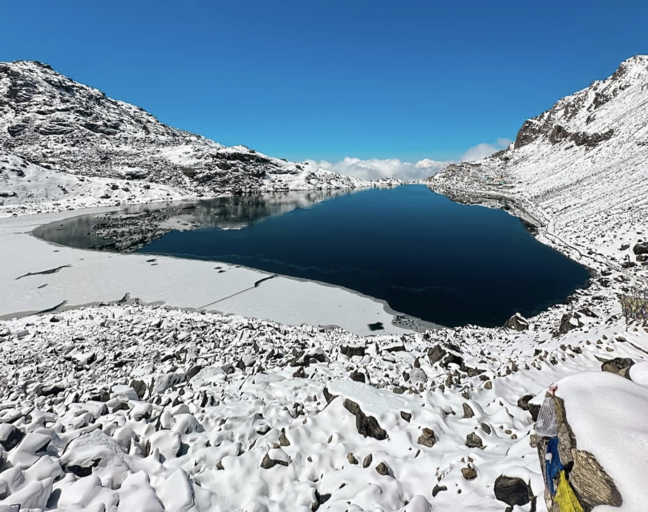
Day 04 · High point · 3,530 m
Dawn around the lakes, then over the pass (4,610m) and a long, knee-testing descent to Ghopte.
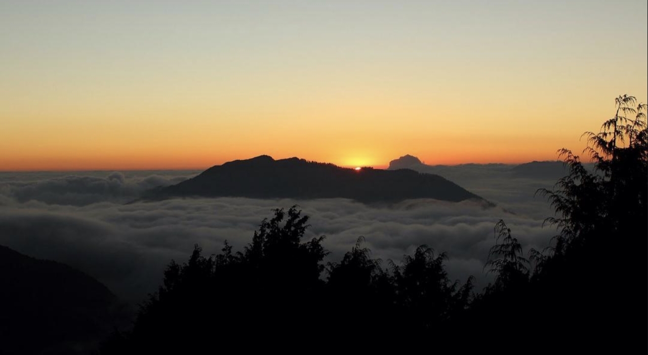
Day 05 · Trek · 2,470 m
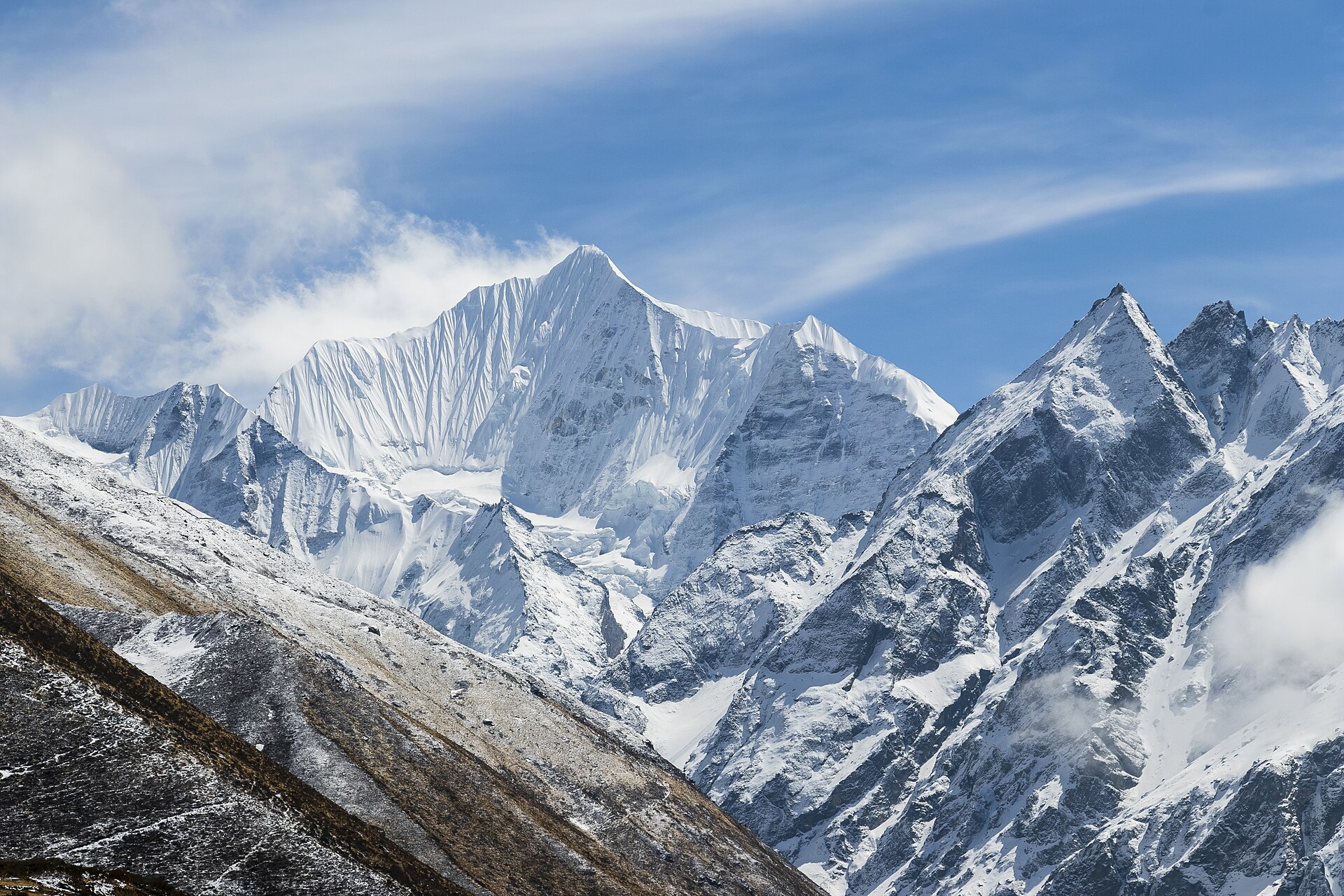
Ridge walking through cloud forest with windows onto the whole Langtang range.
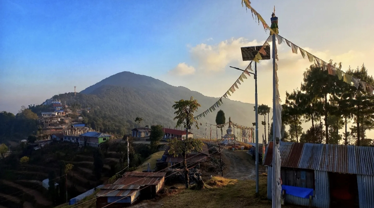
Day 06 · Trek · 2,215 m
Through Sherpa and Tamang villages to Chisapani - 'cold water' - with its famous sunset view.
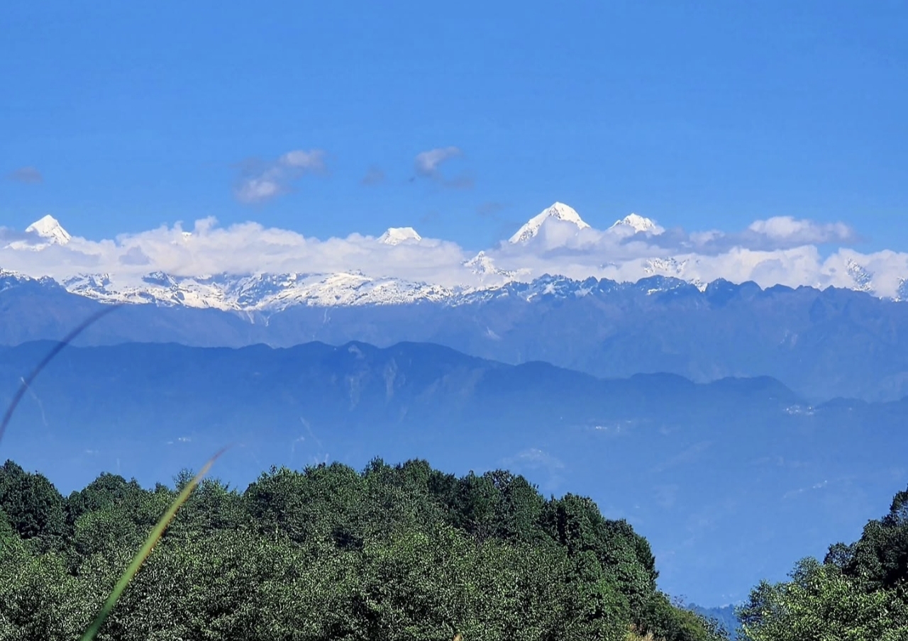
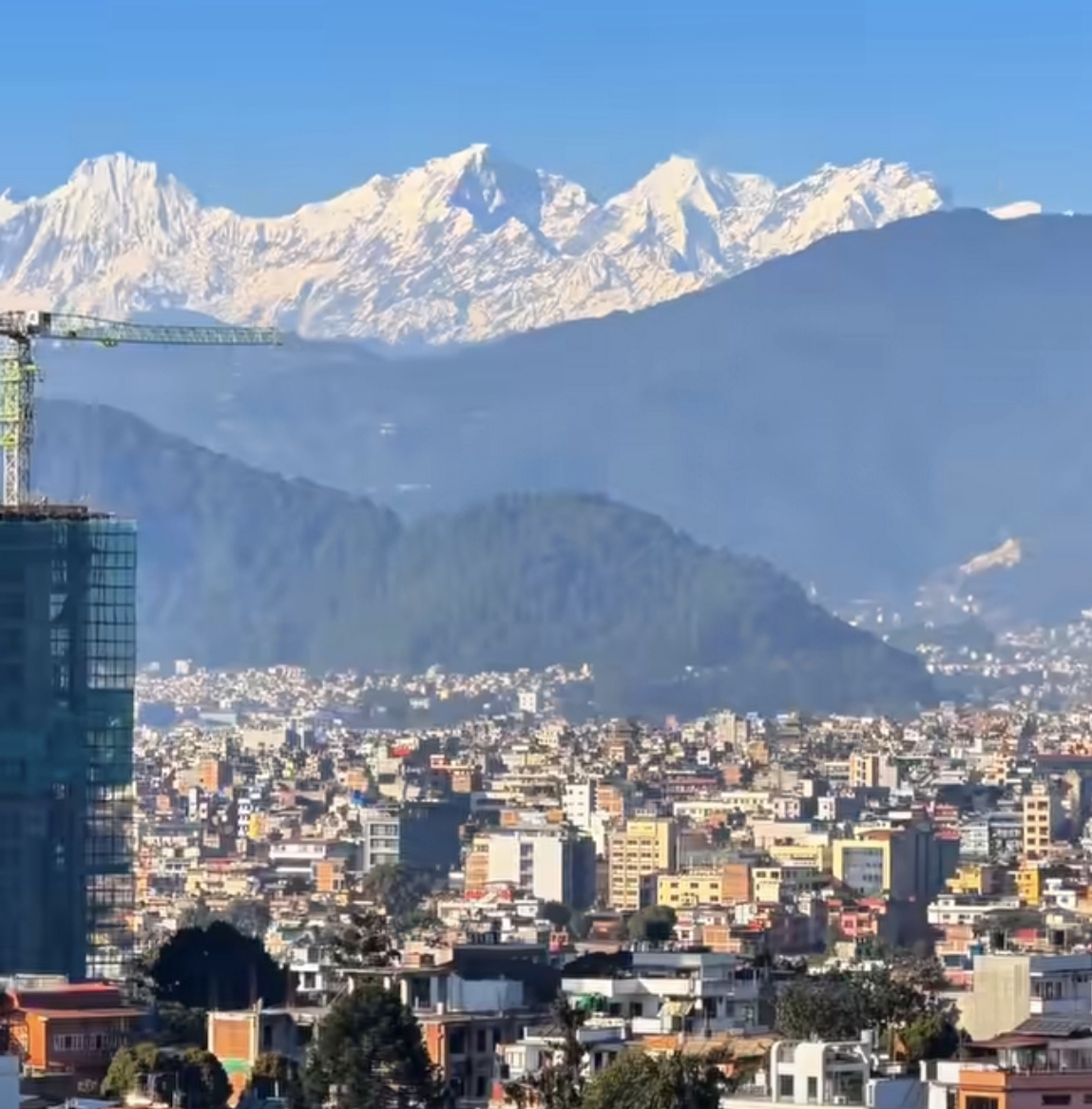
Day 07 · Travel · 1,400 m
A gentle morning through Shivapuri National Park, then a short drive back to the city.
Photos: Wikimedia Commons contributors · CC BY-SA
Elevation
Hover the profile to see each day - conservative ascent, acclimatization built in.
The ledger
Everything about this route, derived from the itinerary - from the metres you gain to the oxygen you'll be breathing at the top.
Oxygen falls with altitude. You start at 84% of sea level and finish at 58% at the high point - which is why every ascent profile here is conservative, with rest days built in.
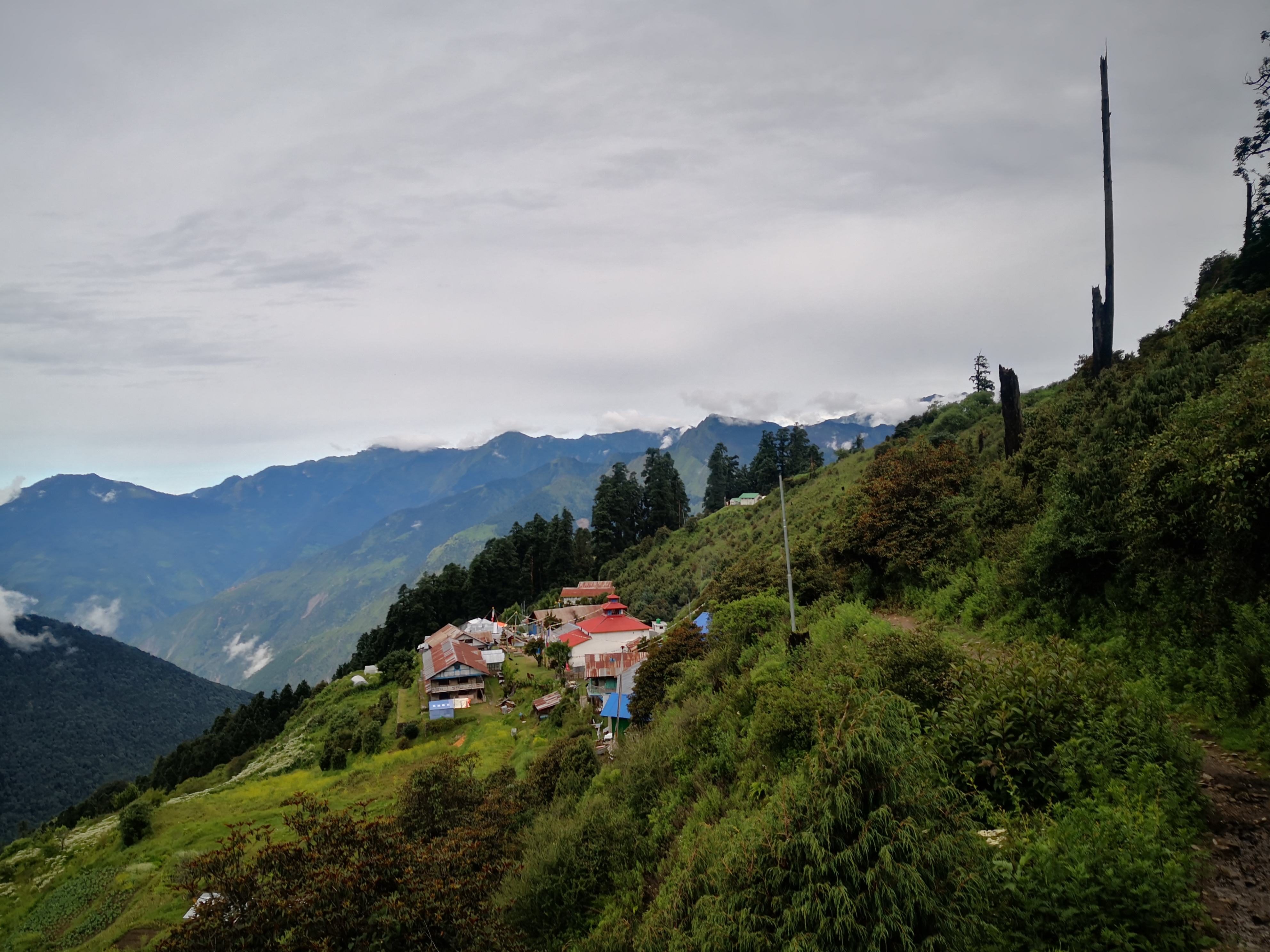
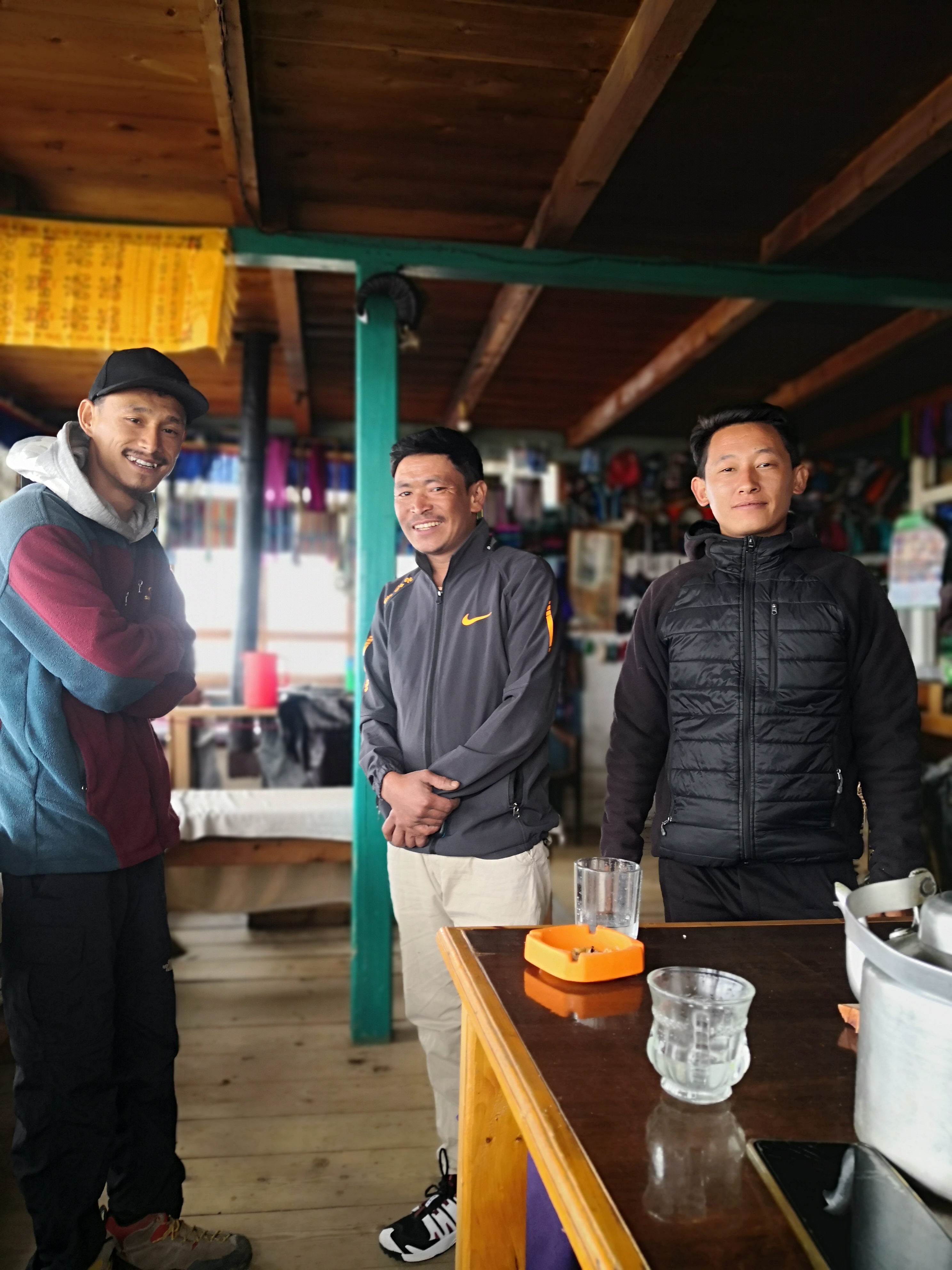
Scenes
Reviews
No reviews yet - be the first to share how it went.
More routes
Walk this route
Permits, flights, crew and every cup of tea along the way, handled by Abishek Sherpa. Tell us your dates and we'll send a full quote within a day.